
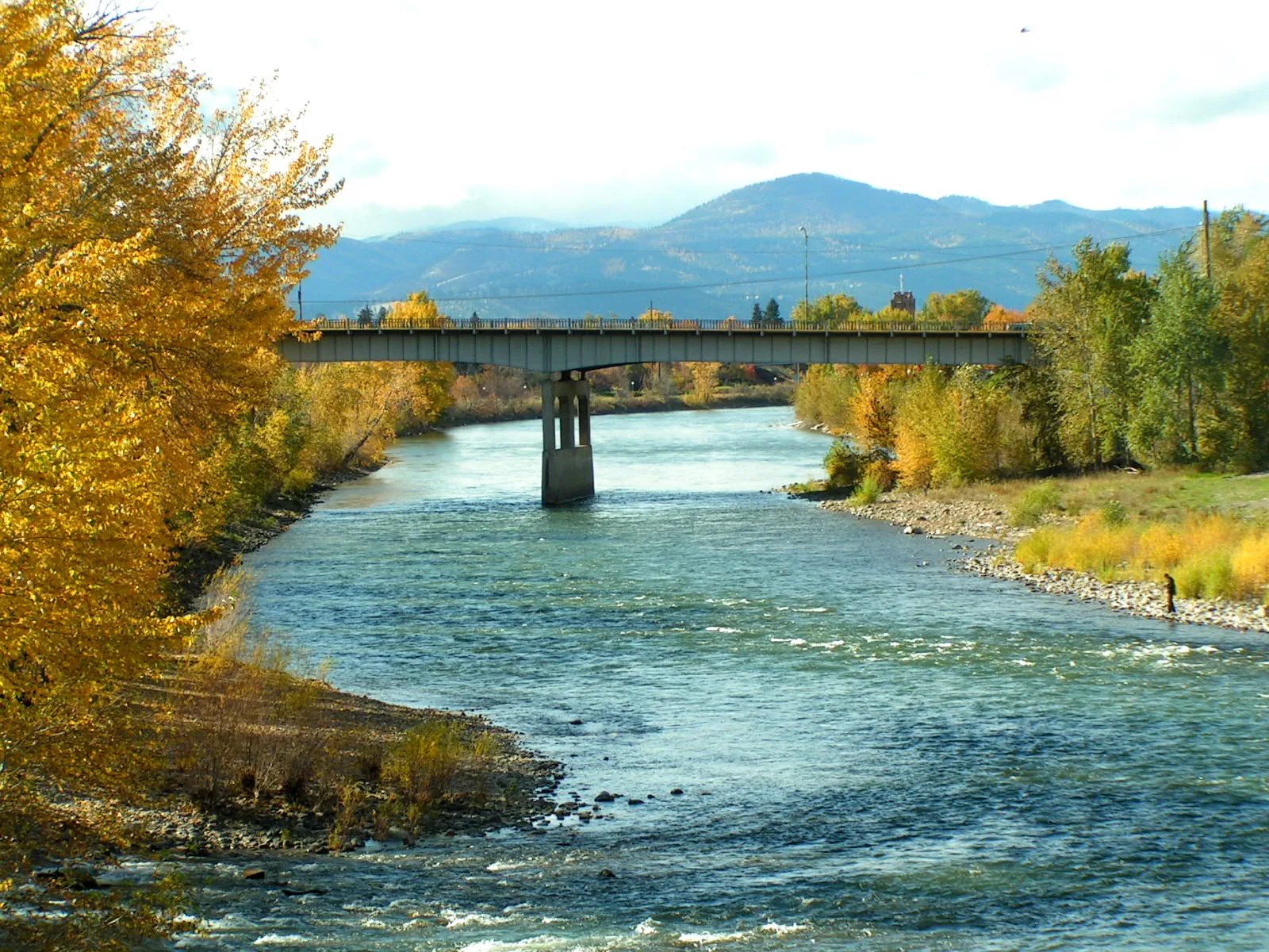
Clark Fork in Missoula, Montana
Clark Fork in Missoula is a river. Clark Fork also exists in Silver Bow County. Ⓦ.
- Waterway Type
- river
Image
Places of worship
Bakeries
Payment terminals
Pharmacies
Convenience stores
Bus stops
Charging stations
Schools
Supermarkets
Garden centers
Vending machines
Casinos
Streets nearby
Kahrwald Drive0.3 mi
Stonybrook Drive0.4 mi
South 3rd Street West0.4 mi
Stallion Lane0.4 mi
Nancy Lou Drive0.5 mi
Krim Street0.5 mi
Schmidt Road0.5 mi
Golden Eagle Lane0.5 mi
33rd Avenue0.6 mi
Flamingo Drive0.6 mi
Keck Street0.6 mi
Tox Drive0.6 mi
Howard Street0.6 mi
South 6th Street West0.6 mi
Moua Lane0.6 mi
Brianna Court0.6 mi
Shrub Rose Lane0.6 mi
Grace Court0.6 mi
Stone Street0.7 mi
South 7th Street WestClements Rd & S 7th St W, S 7th St W & Howard St, S 7th St W & Grace Ct, S 7th St W & Tower St, S 7th St W & Gladis Dr, Orchard Homes
0.7 mi
Como Drive0.7 mi
Morries Drive0.7 mi
Clements RoadClements Rd & Spurgin Rd, S 7th St W & Clements Rd, Clements Rd & Colonial Ln, Clements Rd at The Olde Dairy
0.8 mi
Baywood Court0.8 mi
Alice Avenue0.8 mi
Eliza Court0.8 mi
Norman Drive0.8 mi
Marilyn Drive0.8 mi
Coursey Lane0.8 mi
Vicki Drive0.8 mi
Tyro Court0.8 mi
Marie Drive0.9 mi
Heather Drive0.9 mi
Spurgin RoadClements Rd & Spurgin Rd
0.9 mi
Walker Drive0.9 mi
Cheleq Court0.9 mi
Judith Drive0.9 mi
Gladis Drive1.0 mi
Little League Drive1.0 mi
Hope Street1.0 mi
Rose Briar Drive1.0 mi
Roundup Drive1.0 mi
37th Avenue1.0 mi
Pony Place1.0 mi
Lebeau Drive1.0 mi
| Length | 499 |
|---|---|
| Located in | Idaho, Montana |
| Country | United States |
| Mouth | Lake Pend Oreille |
| Tributary | Flathead River, Bitterroot River, Blackfoot River, Thompson River, Little Blackfoot River, Bull River |
 Public transit map Missoula Legend
| Railway | |
| Bus | |
| Streetcar |
 Bicycle map Missoula Legend
| Bike path | |
| Bike lane on roadway | |
| Cycling allowed on bus lane | |
| Bicycle street | |
| Open to cyclists | |
| Open to cyclists, good path | |
| Cycling prohibited | |
| Cobblestone |
| Long-distance bike route | (depending on scale) | |
| Long-distance bike route |
 Pedestrian map Missoula Legend
| Path |
| Long-distance hiking trail | (depending on scale) | |
| Long-distance hiking trail | ||
| Pedestrians prohibited |