
Skunk Hollow in Park County, Montana
Skunk Hollow in Park County is a residential street. It runs in a northeast-southwest direction starting from Harris Street.
- Road Type
- residential street
- Route
- northeast-southwest
Image
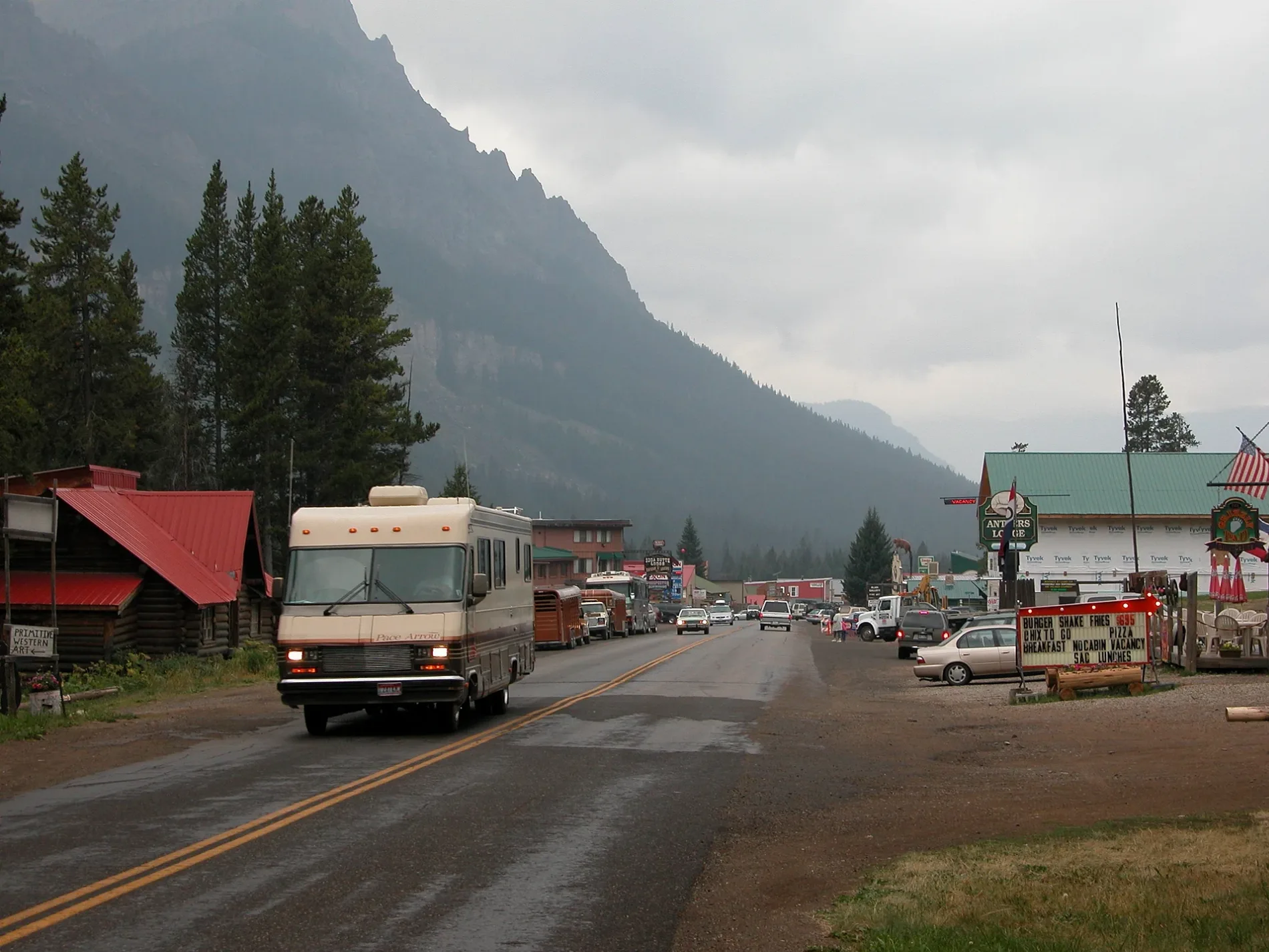
Streets nearby
Harris Street250 ft
East Broadway Street0.1 mi
Crosby Street0.1 mi
East Main StreetCooke City, Cooke City Post Office, Alpine Motel, Alpine Too, Montasia, Cooke City Exxon, Miners Saloon Casino & Emporium, Yellowstone Trading Post, Sinclair, Soda Butte Lodge, Prospector, Ore House Saloon, Buns N Beds Deli, Beartooth Cafe
0.1 mi
Broadway Street East0.1 mi
Private Drive0.2 mi
Miller St0.2 mi
Eaton StreetSaint Johns Catholic Church, Beartooth Brew, Buns N Beds
0.2 mi
Martin Street0.3 mi
River Street0.3 mi
Daisy Pass Trail Road0.3 mi
Huston StreetCooke City Emergency Services
0.4 mi
Woody Creek Rd0.4 mi
West Main StreetCooke City Chamber of Commerce, Cooke City High Country Motel, Cooke City Coffee
0.4 mi
Republic Street0.5 mi
Broadway Street West0.5 mi
Irma Mine Rd0.5 mi
Bannock TrailJAY-FER RANCH, Lazy G Lodge
0.5 mi
Montana Street0.6 mi
Soda Butte Campground0.6 mi
Miller Creek Road0.7 mi
Steller's Jay Lane0.9 mi
Soda Butte Creek Trail1.2 mi
Lulu Pass Trail Road1.4 mi
Beartooth Scenic BywayBig Moose Resort, Big Bear Lodge
1.5 mi
US Highway 212The New World Mining District, J-F Ranch, Creekside at Yellowstone, Silver Gate, Silver Gate General Store, The good life for many moose, Camp Store
1.6 mi
Colter Campground1.7 mi
Henderson Mountain Trail1.8 mi
Black Warrior Trail2.0 mi
Campgrounds nearby
Soda Butte1.0 mi
Cemeteries nearby
Cooke City Cemetery0.5 mi
Convenience stores nearby
Cooke City Store0.3 mi
Gas stations nearby
Exxon0.2 mi
Hotels nearby
Antlers Lodge Cooke City450 ft
Motels nearby
Super 8 by Wyndham Cooke City Yellowstone Park Area0.1 mi
Elk Horn Lodge0.3 mi
Hoosier's Motel & Bar0.3 mi
Motorcycle shops nearby
Cooke City Yamaha0.5 mi
Museums nearby
Cooke City Montana Museum0.4 mi
Places of worship nearby
Mount Republic Chapel of Peace1.9 mi
Resorts nearby
Luxury Mountain Retreat0.5 mi
Restaurants nearby
The Bistro0.2 mi
Rivers nearby
Soda Butte Creek250 ft
School buildings nearby
Cooke City School0.3 mi
Streams nearby
Woody Creek0.4 mi
Republic Creek0.9 mi
Miller Creek1.0 mi
Sheep Creek1.6 mi
Hayden Creek1.7 mi
 Public transit map Park County Legend
| Railway | |
| Bus | |
| Streetcar |
 Bicycle map Park County Legend
| Bike path | |
| Bike lane on roadway | |
| Cycling allowed on bus lane | |
| Bicycle street | |
| Open to cyclists | |
| Open to cyclists, good path | |
| Cycling prohibited | |
| Cobblestone |
| Long-distance bike route | (depending on scale) | |
| Long-distance bike route |
 Pedestrian map Park County Legend
| Path |
| Long-distance hiking trail | (depending on scale) | |
| Long-distance hiking trail | ||
| Pedestrians prohibited |