
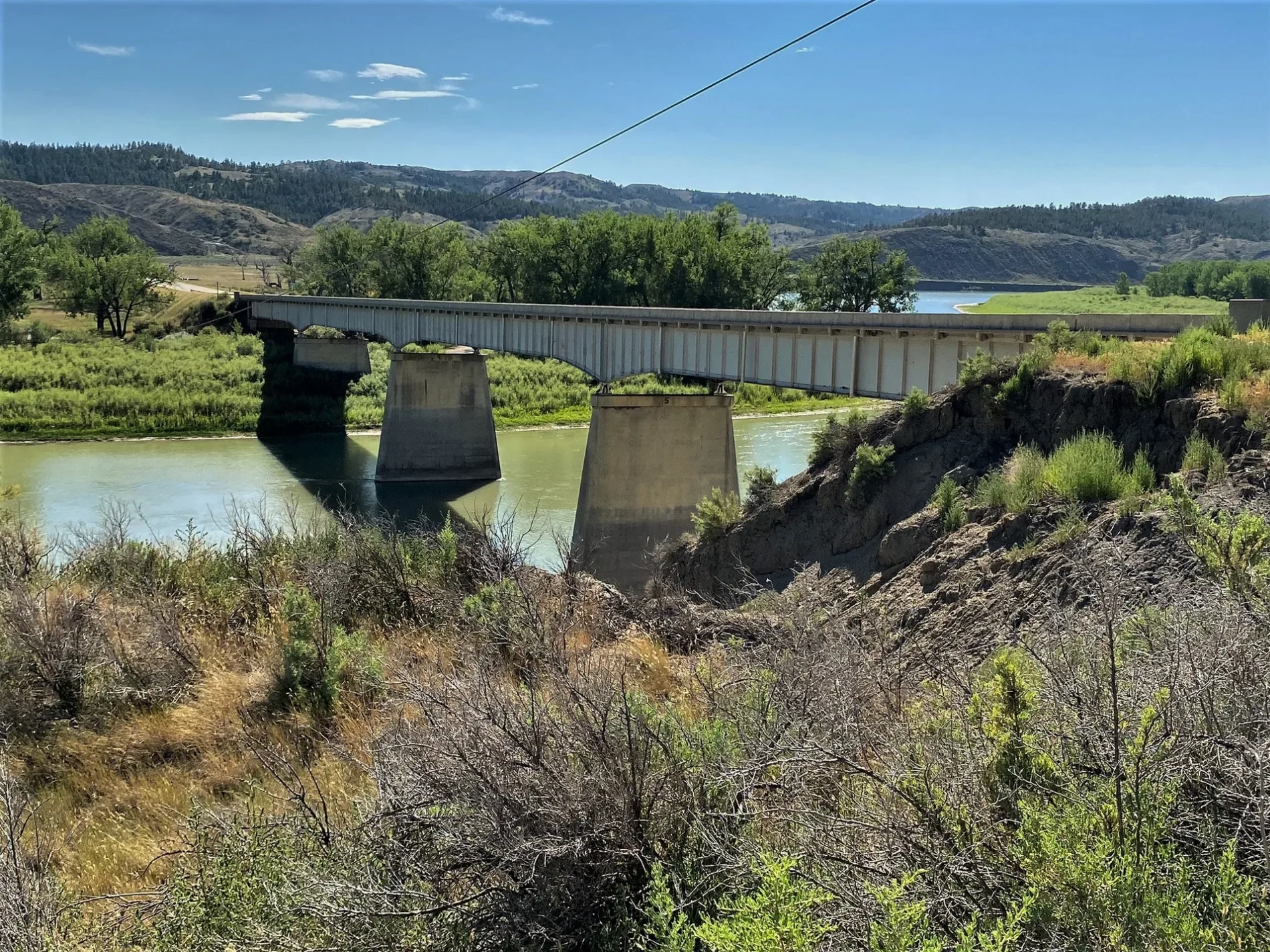
Missouri River Bridge in Phillips County, Montana
Missouri River Bridge in Phillips County is a two-lane main road (also known as Fred Robinson Bridge). It runs in a northeast-southwest direction and ends in a cul-de-sac. Missouri River Bridge is also known as Fred Robinson Bridge. This street is part of the highway "191". Missouri River Bridge also exists in Broadwater County. Ⓦ.
- Alternate Name
- Fred Robinson Bridge
- Road Type
- main road
- Lanes
- 2
- Route
- northeast-southwest
Image
Streets nearby
Knox Ridge Road3.3 mi
Sand Creek TrailInfo Center Charles M. Russell National Wildlife Refuge and Slippery Ann Elk Viewing area
3.7 mi
Sand Creek Road3.8 mi
Lower Two Calf Road4.5 mi
Cmr Auto Nature Tour Road4.7 mi
Grasslands nearby
Lower Two Calf Island3.3 mi
Nature reserves nearby
USFWS3.5 mi
Recreation grounds nearby
James Kipp Recreation Area0.9 mi
Streams nearby
Armells Creek1.5 mi
Antelope Creek5.3 mi
| Heritage designation | National Register of Historic Places listed place |
|---|---|
| Located in | Montana |
| Country | United States |
| Crosses | Missouri River |
 Public transit map Phillips County Legend
| Railway | |
| Bus | |
| Streetcar |
 Bicycle map Phillips County Legend
| Bike path | |
| Bike lane on roadway | |
| Cycling allowed on bus lane | |
| Bicycle street | |
| Open to cyclists | |
| Open to cyclists, good path | |
| Cycling prohibited | |
| Cobblestone |
| Long-distance bike route | (depending on scale) | |
| Long-distance bike route |
 Pedestrian map Phillips County Legend
| Path |
| Long-distance hiking trail | (depending on scale) | |
| Long-distance hiking trail | ||
| Pedestrians prohibited |