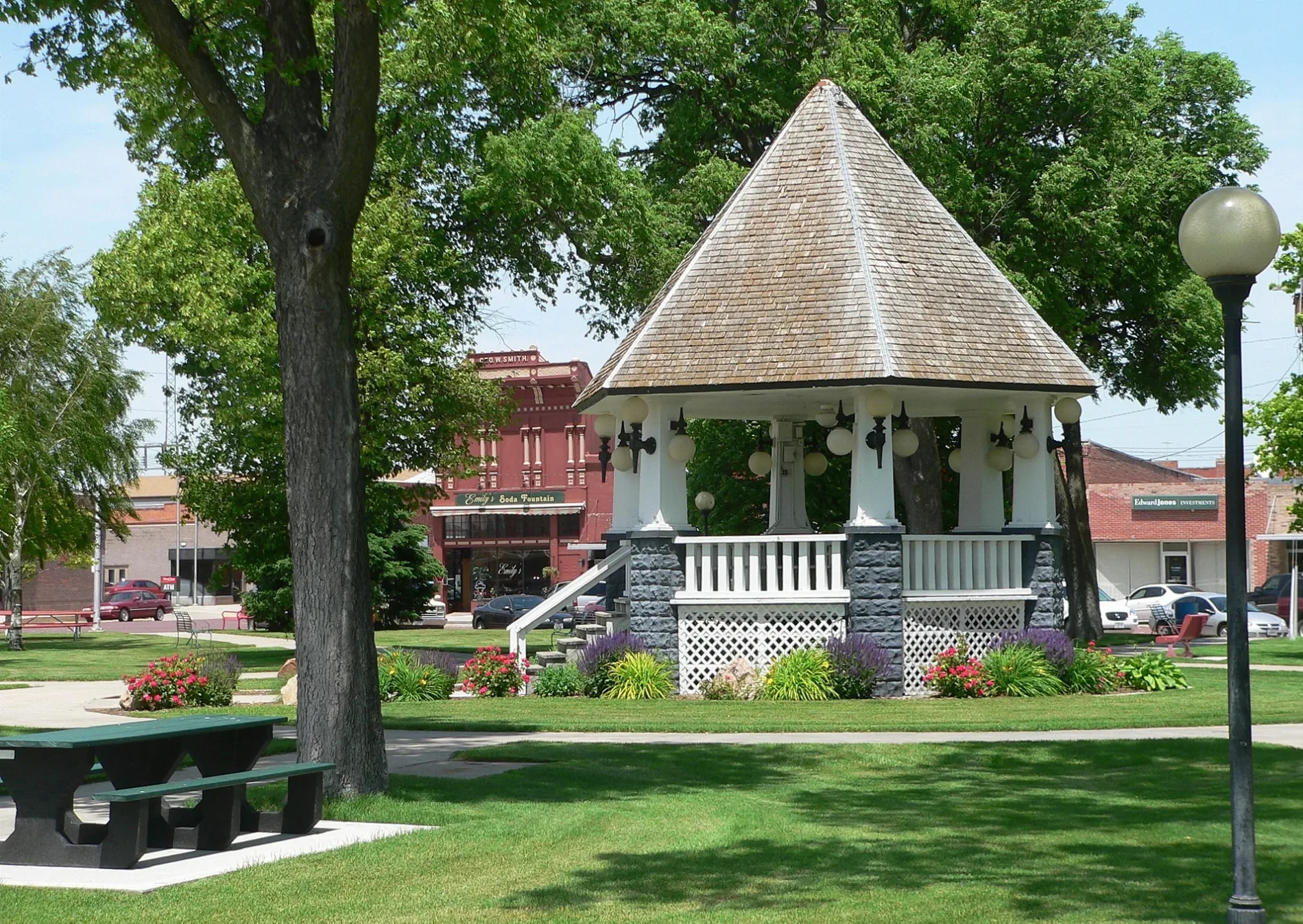
Bandstand in public square in downtown Broken Bow, Nebraska; seen from the east. Visible in the background is the 800 block of South D Street; the building behind and immediately to the left of the bandstand is Emily's Soda Fountain, at 845 S. D. The bandstand was constructed in 1916; it is part of the Broken Bow Commercial Square Historic District, which is listed in the National Register of Historic Places. – Ammodramus, Public domain – Wikimedia Commons Broken Bow is located in Custer County. About 3,506 people live here (as of 2020). Between 2010 and 2020, the population declined from 3,559 to 3,506. The region is at 755 meters above sea level. The area covers about 5.1 square kilometers. There are about 192 streets in Broken Bow. The region was founded in 1882. The postal codes are 68822. The dialing code is 308. Broken Bow is city in and county seat of Custer County, Nebraska, United States. Among other things, Broken Bow has hotels and schools. More information at www.cityofbrokenbow.org.


 Public transit map Broken Bow Legend
  Bicycle map Broken Bow Legend
  Pedestrian map Broken Bow Legend