
Pulaski Park in Omaha, Nebraska
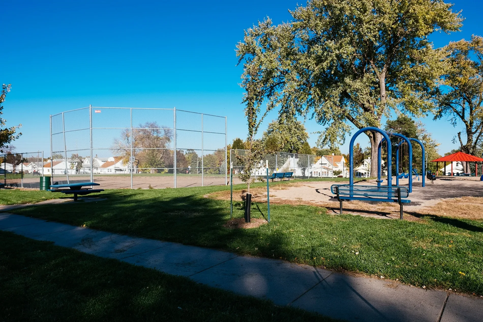
Pulaski Park in Omaha is a park. Pulaski Park is located near South 39th Street. Ⓦ.
- Leisure
- park
Image
Gas stations
Doctor's offices
Fast food restaurants
Restaurants
Nursing homes
Payment terminals
Places of worship
Banks
Shoe stores
Schools
Auto repair shops
Clinics
Supermarkets
Hair salons
Streets nearby
South 40th Avenue150 ft
Hillsdale AvenueDomino's
350 ft
South 41st Avenue400 ft
South 39th Avenue0.2 mi
South 39th Street0.2 mi
South 42nd Avenue0.2 mi
G Street0.2 mi
South 44th AvenueFoursquare Gospel First Church Lighthouse on the Hill
0.2 mi
Dayton Street0.2 mi
J StreetSaint Stanislaus Church, Alfie Packers, Inc, Fred LeRoy Health and Wellness Center, Salem Lutheran Church, Emmaus Bible Church, Saint Martin of Tours Church
0.2 mi
E StreetGrace United Methodist Church
0.2 mi
Patterson Street0.2 mi
South 37th Street0.3 mi
K StreetScooters Drive Through, Propane, Latvian Evangelical Lutheran Church, Saint Francis of Assisi School, Saint Francis Assisi Church
0.3 mi
South Omaha Trail0.3 mi
D StreetMcDonald's, Rainbow Dental Center
0.3 mi
South 43rd Avenue0.3 mi
I StreetJK, Saint Lukes Lutheran Church, South Side Christian Church, Guns Unlimited
0.3 mi
South 36th Avenue0.4 mi
South 42nd StreetTobin Eye Institute, 42nd & Center NW, Ollie Webb Center, Inc., BP, 42nd & Leavenworth SW, Healing, 42nd & Dewey Ave NW, UNMC Campus Gateway Garden, 42nd & Harney NW, 42nd & Walnut NW, 42nd & Woolworth Ave SW, 42nd & William NE, 42nd & Popleton SW, 42nd & Pacific SW, 42nd & Pacific SE, 42nd & Marcy SE, 42nd & Mayberry NW, 42nd & (Center NE) Shirley SE, Access Bank
0.4 mi
H StreetJudson Baptist Church
0.4 mi
South 36th StreetG.A.S. Auto
0.4 mi
South 45th StreetFuente de Vida, Bethel Lutheran Church
0.4 mi
M StreetChristian Brotherhood Fellowship, QuikTrip, Redbox, U.S. Bank, South Omaha Post Office Station, South Branch Library, Emergicare, Bank of the West
0.4 mi
South 38th Street0.4 mi
N Street0.5 mi
South 41st StreetSaint Stanislaus School
0.5 mi
South 35th StreetWatts
0.5 mi
Cemetery Road0.5 mi
South 34th Street0.5 mi
Burlington Street0.6 mi
F StreetOzone, Cilantro's Mexican Bar & Grill, Grass Pad, Universal Technical Institute, Saint Bridgets Church, Regis Food Mart, Cenex
0.6 mi
O StreetHog Wild Pit Bar-B-Q, Astoria Biryani House, Capitol School of Hairstyling & Esthetics, Casey's General Store, Our Lady of Guadalupe Over 60 Center, Omaha Police Department - Southeast Precinct
0.6 mi
South 32nd StreetSaint Gabriel Eastern Orthodox Church, Chase
0.6 mi
Orchard Avenue0.6 mi
Burlington Avenue0.7 mi
Hitchcock Park Road0.7 mi
P StreetRainbow Dental Center, Steven Miller, DDS, Donut Haven, The Corner Kick, Fuente De Vida Foursquare Church, International Bakery
0.7 mi
South 33rd StreetFirst National Bank
0.7 mi
South 40th Street40th & Farnam NW
0.7 mi
Abandoned railways nearby
Omaha Belt Line0.3 mi
Buildings nearby
Poolhouse0.7 mi
Cemeteries nearby
Graceland Park Cemetery0.4 mi
Fast food restaurants nearby
Taco Bell0.2 mi
Places of worship nearby
Riverview Kingdom Hall0.5 mi
Railways nearby
UP Omaha Subdivision0.4 mi
South Omaha Siding0.6 mi
BNSF Omaha Subdivision0.6 mi
Swimming pools nearby
Hitchcock Park Pool0.7 mi
| Year built | 1889 |
|---|---|
| Located in | Nebraska, Douglas County |
| Country | United States |
 Public transit map Omaha Legend
| Railway | |
| Bus | |
| Streetcar |
 Bicycle map Omaha Legend
| Bike path | |
| Bike lane on roadway | |
| Cycling allowed on bus lane | |
| Bicycle street | |
| Open to cyclists | |
| Open to cyclists, good path | |
| Cycling prohibited | |
| Cobblestone |
| Long-distance bike route | (depending on scale) | |
| Long-distance bike route |
 Pedestrian map Omaha Legend
| Path |
| Long-distance hiking trail | (depending on scale) | |
| Long-distance hiking trail | ||
| Pedestrians prohibited |