
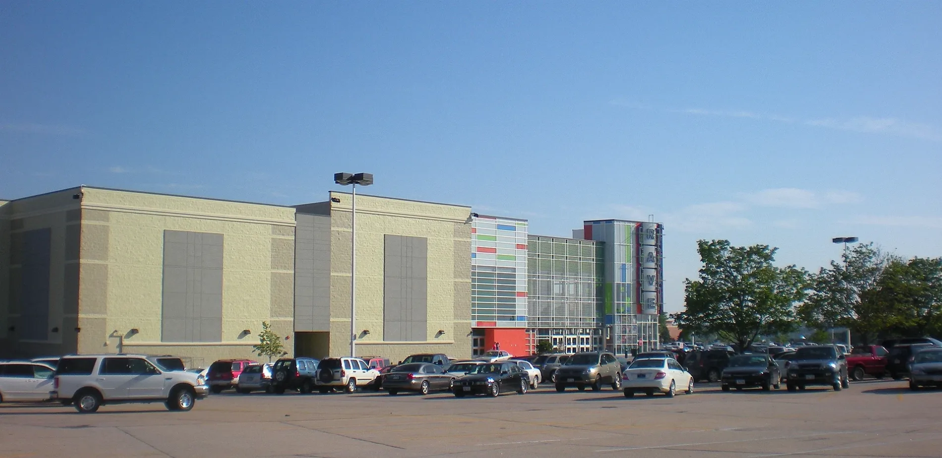
Westroads Mall in Omaha, Nebraska
Westroads Mall in Omaha is a shopping mall, California Street 10000 (68114) 🌐. Westroads Mall is also known as Westroads. Ⓦ.
- House Number
- 10000
- Postal Code
- 68114
- Street
- California Street
- Alternate Name
- Westroads
- Building Type
- retail building
- Shop
- shopping mall
- Website
- https://www.westroadsmall.com/en.html
Image
Fast food restaurants
Department stores
Housewares stores
Banks
Bus stops
Places of worship
Restaurants
Candy stores
Variety stores
Cafes
Movie theaters
Streets nearby
98th Frontage Road East0.1 mi
Centennial MallScooters Java Express, JCPenney
0.1 mi
North 98th StreetWestroads East
0.2 mi
California StreetMidwest Allergy and Asthma Clinic, Physicians Clinic, California Taco
0.2 mi
Burt StreetBaxter Subaru, Saint Cecilia Cathedral, Duchesne Academy Historical Marker, Apostolic Life Center, Baxter Volkswagen Omaha, Audi Omaha, Burt St & N 90th St, Extended Stay America - Omaha - West
0.2 mi
West Dodge RoadDino's Storage, 84th & Dodge ORBT Station NW, Baker's Food & Drug, Starbucks, 90th & Dodge ORBT Station SE, 84th & Dodge ORBT Station SW, Access Bank, 90th & Dodge ORBT Station NW
0.2 mi
North 102nd StreetWestroads West, N 102nd St & Maple St (SW), N 102nd St & Corby St (SE), Valentino's, Bay 2-Route 14, Bay 1-Route 92, Bay 3-Route 2
0.2 mi
Nicholas StreetBay 4-Route 4, Bay 5-Route 5, Lowe Avenue Presbyterian Church, Salween Thai, Westroads ORBT Station
0.3 mi
North 97th Plaza0.3 mi
North 99th Circle0.3 mi
North 96th Street0.3 mi
North 102nd Street Frontage Road0.3 mi
North 97th Court0.3 mi
West Dodge Frontage Road SouthJimmy John's, Creighton Family Healthcare Building - West Dodge
0.3 mi
North 102nd Court0.3 mi
Bloomfield Drive0.3 mi
Western Plaza0.4 mi
North 98th Court0.4 mi
North 103rd Plaza0.4 mi
Nottingham Drive0.4 mi
Regency CircleRegency Circle & Ascot Circle, Omaha Chophouse, Wells Fargo, Physicians Clinic - First Eye Associates, Enterprise Bank
0.4 mi
Regency Parkway0.4 mi
North 100th Circle0.4 mi
Hamilton StreetTrinity Presbyterian Church, Pilgrim Baptist Church, Ibsen Costume Gallery, Covenant Life Fellowship Church, Gregg Memorial African Methodist Episcopal Church, 40th Theater, Harrison Elementary School
0.4 mi
Ascot Drive0.4 mi
Westchester Drive0.5 mi
North 105th Street0.5 mi
Ascot Circle0.6 mi
Banks nearby
First Westroads Bank500 ft
Commercial areas nearby
Westfield Office Park0.2 mi
Nicholas Street Office Park0.3 mi
Westroads Office Park0.3 mi
Commercial buildings nearby
TopGolf0.4 mi
Construction sites nearby
Redevelopment (former Markel Ultimate Auto Campus)0.3 mi
Hotels nearby
AmericInn Hotel & Suites Omaha0.2 mi
Omaha Marriott0.5 mi
Office buildings nearby
Methodist Physicians Clinic0.4 mi
Regency One0.4 mi
Residential areas nearby
Regency Park0.3 mi
Regency0.5 mi
Restaurants nearby
The Cheesecake Factory0.2 mi
Sickie's Burgers0.2 mi
P.F. Chang's0.2 mi
Retail areas nearby
Westroads0.2 mi
Shelters nearby
Westroads Transit Station0.3 mi
Shopping malls nearby
Regency Court Shopping Center0.5 mi
Sporting goods stores nearby
Dick's Sporting Goods0.1 mi
Sports centers nearby
Nebraska Elite Sports & Fitness Complex0.5 mi
Supermarkets nearby
Whole Foods Market0.3 mi
| Official opening | 1968 |
|---|---|
| Owned by | General Growth Properties |
| Located in | Omaha |
| Country | United States |
 Public transit map Omaha Legend
| Railway | |
| Bus | |
| Streetcar |
 Bicycle map Omaha Legend
| Bike path | |
| Bike lane on roadway | |
| Cycling allowed on bus lane | |
| Bicycle street | |
| Open to cyclists | |
| Open to cyclists, good path | |
| Cycling prohibited | |
| Cobblestone |
| Long-distance bike route | (depending on scale) | |
| Long-distance bike route |
 Pedestrian map Omaha Legend
| Path |
| Long-distance hiking trail | (depending on scale) | |
| Long-distance hiking trail | ||
| Pedestrians prohibited |