
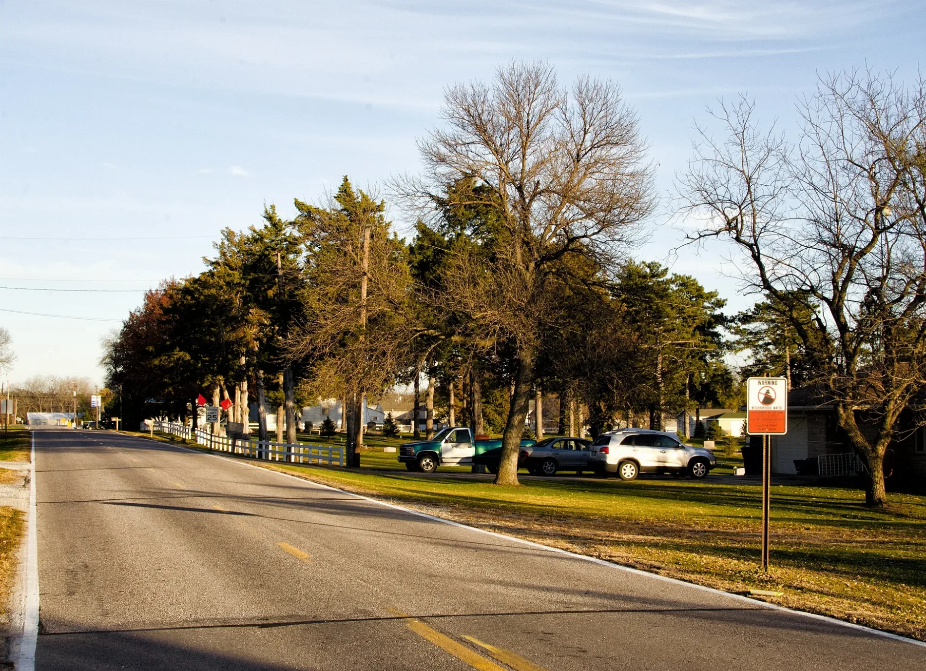
Cass Avenue in Denton, Nebraska
Cass Avenue in Denton is a residential street. It runs in a north-south direction starting from West Denton Road and crosses West Third Street and ends at West Second Street.
- Road Type
- residential street
- Route
- north-south
Image
Streets nearby
Saint Mary's Avenue0.1 mi
West Third StreetExxon Mobil
0.1 mi
Lancaster AvenueDenton
0.1 mi
West Second Street0.2 mi
Austin Avenue0.2 mi
Southwest 91st Street0.2 mi
Front Street0.2 mi
Cambridge Court0.5 mi
West Midway Road0.5 mi
Hayley Lynn Lane0.7 mi
West Yankee Hill Road0.9 mi
Southwest 84th Street1.2 mi
West Old Cheney Road1.3 mi
West Mountain Ash Drive1.3 mi
Southwest 81st Street Court1.4 mi
Southwest 80th Court1.5 mi
West Ginkgo Lane1.5 mi
Southwest 98th Street1.6 mi
Southwest 77th Street1.6 mi
Southwest 72nd Street1.6 mi
West Pleasant Hill RoadCountryside Estates
1.7 mi
West Haines Circle1.8 mi
Southwest 70th Street1.9 mi
Southwest 119th Street1.9 mi
Southwest 112th Street2.0 mi
West Rokeby RoadRokeby Public School, Trinity Chapel
2.0 mi
Southwest 86th Street2.2 mi
West Pioneers Boulevard2.3 mi
Kolbrook Road2.4 mi
West Burnham Street2.4 mi
Auto repair shops nearby
Precision Collision Inc.0.2 mi
Buildings nearby
American Legion Post 3550.2 mi
Farmers Cooperative0.3 mi
Car dealerships nearby
Tom & Jimmy's Auto Sales0.2 mi
Community centers nearby
Denton Community Center350 ft
Construction sites nearby
Denton Estates Addition0.4 mi
Convenience stores nearby
Mills Squeegee0.1 mi
Covered areas nearby
Fish Cleaning Station2.1 mi
Dams nearby
Conestoga Dam-Site 12 Dam2.2 mi
Places of worship nearby
Saint Mary's Catholic Church50 ft
Denton United Methodist Church0.1 mi
Our Lady of Guadalupe1.1 mi
Post offices nearby
Denton Post Office0.2 mi
Railways nearby
BNSF Hastings Subdivision1.5 mi
Restaurants nearby
Denton Daily Double Steakhouse0.2 mi
Streams nearby
Spring Creek0.9 mi
Haines Branch Salt Creek1.7 mi
Holmes Creek1.8 mi
Other nearby
Denton Airfield2.1 mi
 Public transit map Denton Legend
| Railway | |
| Bus | |
| Streetcar |
 Bicycle map Denton Legend
| Bike path | |
| Bike lane on roadway | |
| Cycling allowed on bus lane | |
| Bicycle street | |
| Open to cyclists | |
| Open to cyclists, good path | |
| Cycling prohibited | |
| Cobblestone |
| Long-distance bike route | (depending on scale) | |
| Long-distance bike route |
 Pedestrian map Denton Legend
| Path |
| Long-distance hiking trail | (depending on scale) | |
| Long-distance hiking trail | ||
| Pedestrians prohibited |