
Lincoln, Nebraska
Lincoln is located in Grant Precinct. About 277,348 people live here. Between 2010 and 2020, the population grew from 258,379 to 291,082. The region is at 358 meters above sea level. The area covers about 256.5 square kilometers. The region is divided into 3 Municipalities and 89 Subregions. The region was founded in 1856. The ZIP codes are 68501–68588. The dialing code is 402. The name originates from Abraham Lincoln (president of the United States from 1861 to 1865) Lincoln is capital city of the U.S. state of Nebraska and seat of Lancaster County. More information at www.lincoln.ne.gov/Home.
Lincoln – Facts
| Population | 291082 |
|---|---|
| Area | 256.5 km² |
| Subregions | 92 |
| Named after | Abraham Lincoln |
| Year built | 1856 |
| Elevation | 358 m |
| Located in | Lancaster County |
| Postal code | 68501 |
| Country | United States |
| Nickname | Star City |
| Native name | Lincoln |
| Official name | Lincoln |
| Described by | Brockhaus and Efron Encyclopedic Dictionary, Great Soviet Encyclopedia (1926–1947), Small Brockhaus and Efron Encyclopedic Dictionary, Meyers Konversations-Lexikon, 4th edition (1885–1890), The American Cyclopædia, Encyclopædia Britannica 11th edition, Collier's New Encyclopedia, 1921, Encyclopædia Britannica Ninth Edition, New International Encyclopedia, The New Student's Reference Work |
| Website | https://www.lincoln.ne.gov/Home |
Data source: Wikidata (CC0)
Photos from Lincoln
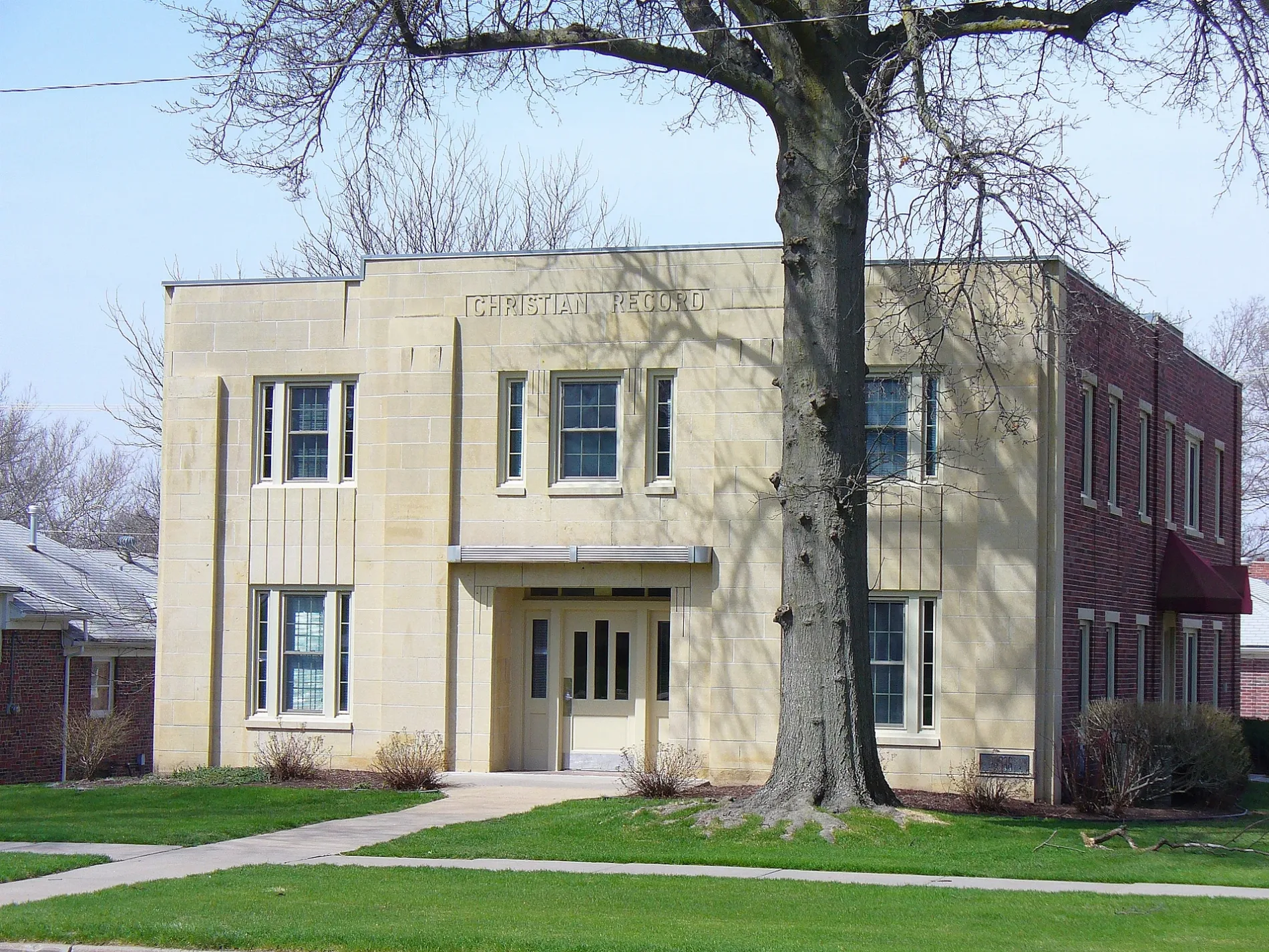
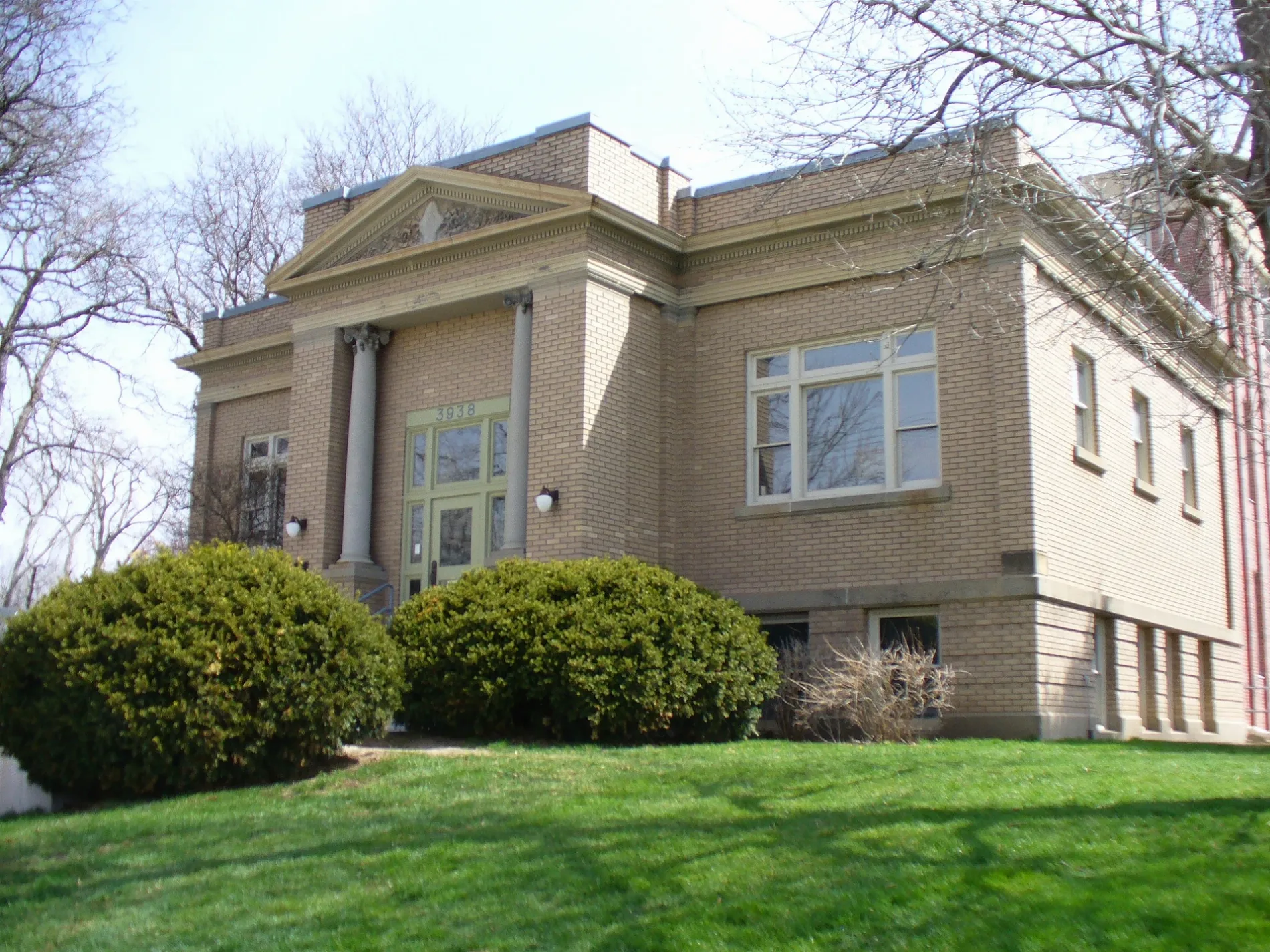
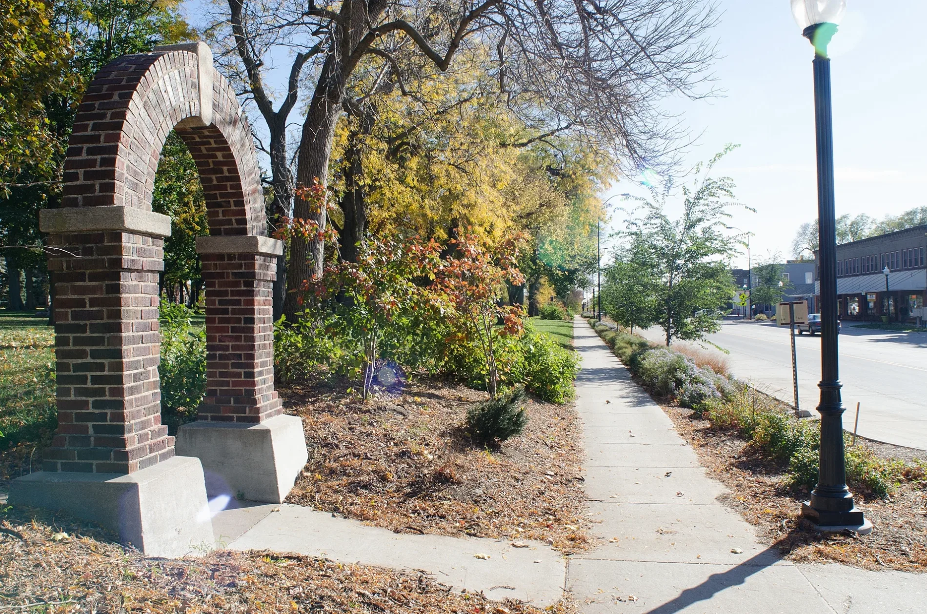

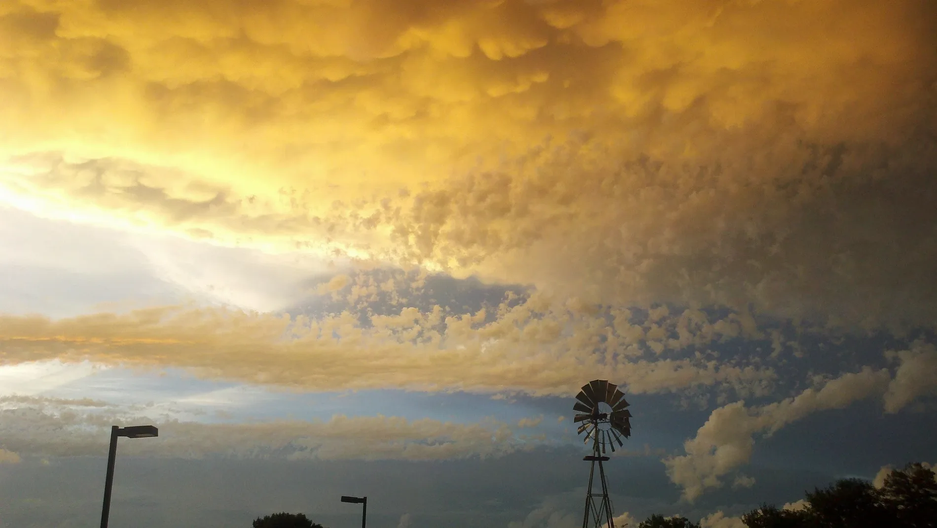
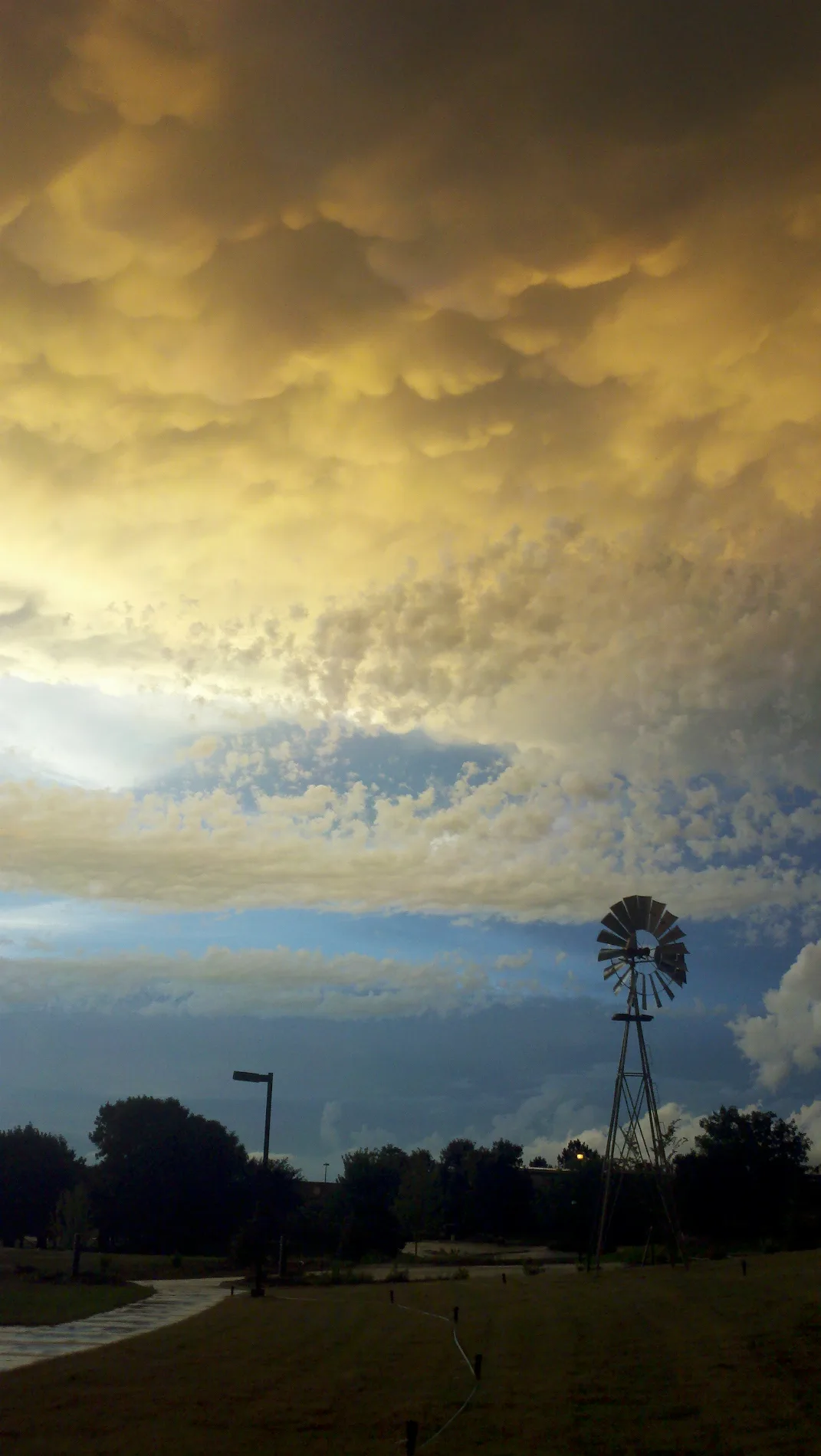
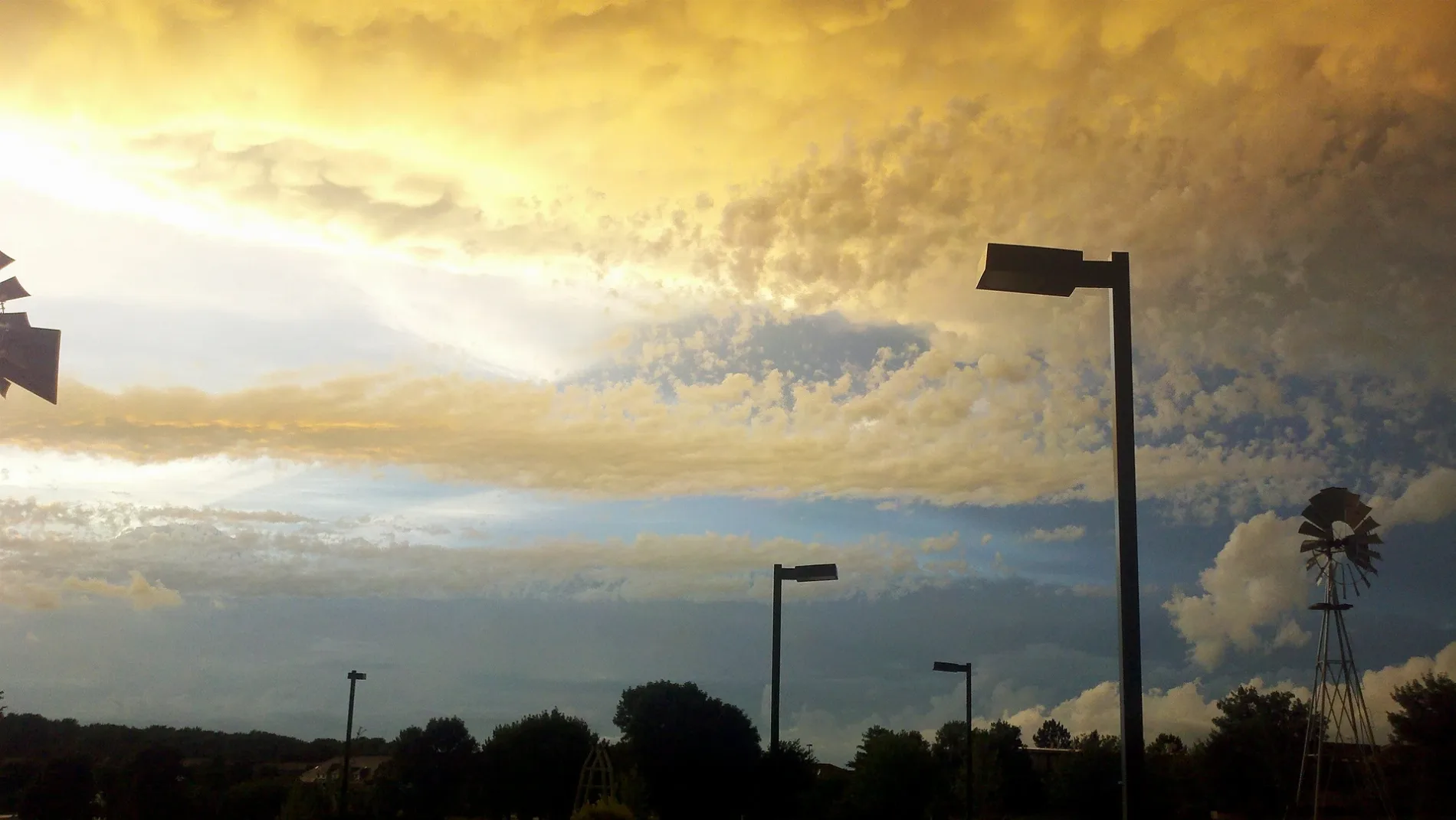

Municipalities and Neighborhoods in Lincoln, Nebraska
Whispering Meadows
Quail Valley
Union Heights
Woodland Terrace
Witherbee
New Heights
Fair Hill
Elm Park
Brookline
East Lincoln
Hillsdale
Sheridan
Country Club Terrace
Country Club Manor
Country Club Plaza
Marilynn Manor
Airspace
C.J. Hull's South
S & S
Union Pacific
Streets in Lincoln, Nebraska
Streets
Airport Road
Starling Court
West Ludwig Circle
North 58th Court
Gate 2 Road
North 80th Street
Valley Forge Road
Starr Street
North 57th Street Circle
West Cuming Street
Lincolnshire Road
Yankee Woods Drive
Belford Street
Medinah Drive
Prairie Village Circle
Delphinium Lane
South 76th Court
Old Cheney Road Trail
Rockwood Lane
Colby Place
South 75th Street
Carmen Drive
Shenandoah Court
South 10th Street
Normal Boulevard
Sonatta Drive
Blanchard Boulevard
Crescent Drive
Buffalo Creek Road
West Hillsboro Drive
Q Street
McBride Avenue
Birch Hollow Drive
Gate 1 Road
Waltz Place
South 66th Circle
Framton Road
Lilac Drive
Holmes South Shore Road
East Shore Drive
Southwest 34th Street
Glenarbor Drive
Wemsha Street
Brickmark Lane
Creek View Court
Eric Drive
Katy Circle
Thorn Court
Troon Drive
Raven Circle
South Creek Road
Anderson Drive
Southern Sky Road
Fairfax Avenue
Osage Court
Apartment buildings
Commercial buildings
Fast food restaurants
Fitness centers
Ice rinks
Industrial buildings
Parking lots
Preschools
Retail buildings
Sports centers
Sports fields
Tire dealers
University buildings
Warehouses
Public transit map Lincoln Legend
| Railway | |
| Bus | |
| Streetcar |
Bicycle map Lincoln Legend
| Bike path | |
| Bike lane on roadway | |
| Cycling allowed on bus lane | |
| Bicycle street | |
| Open to cyclists | |
| Open to cyclists, good path | |
| Cycling prohibited | |
| Cobblestone |
| Long-distance bike route | (depending on scale) | |
| Long-distance bike route |
Pedestrian map Lincoln Legend
| Path |
| Long-distance hiking trail | (depending on scale) | |
| Long-distance hiking trail | ||
| Pedestrians prohibited |