
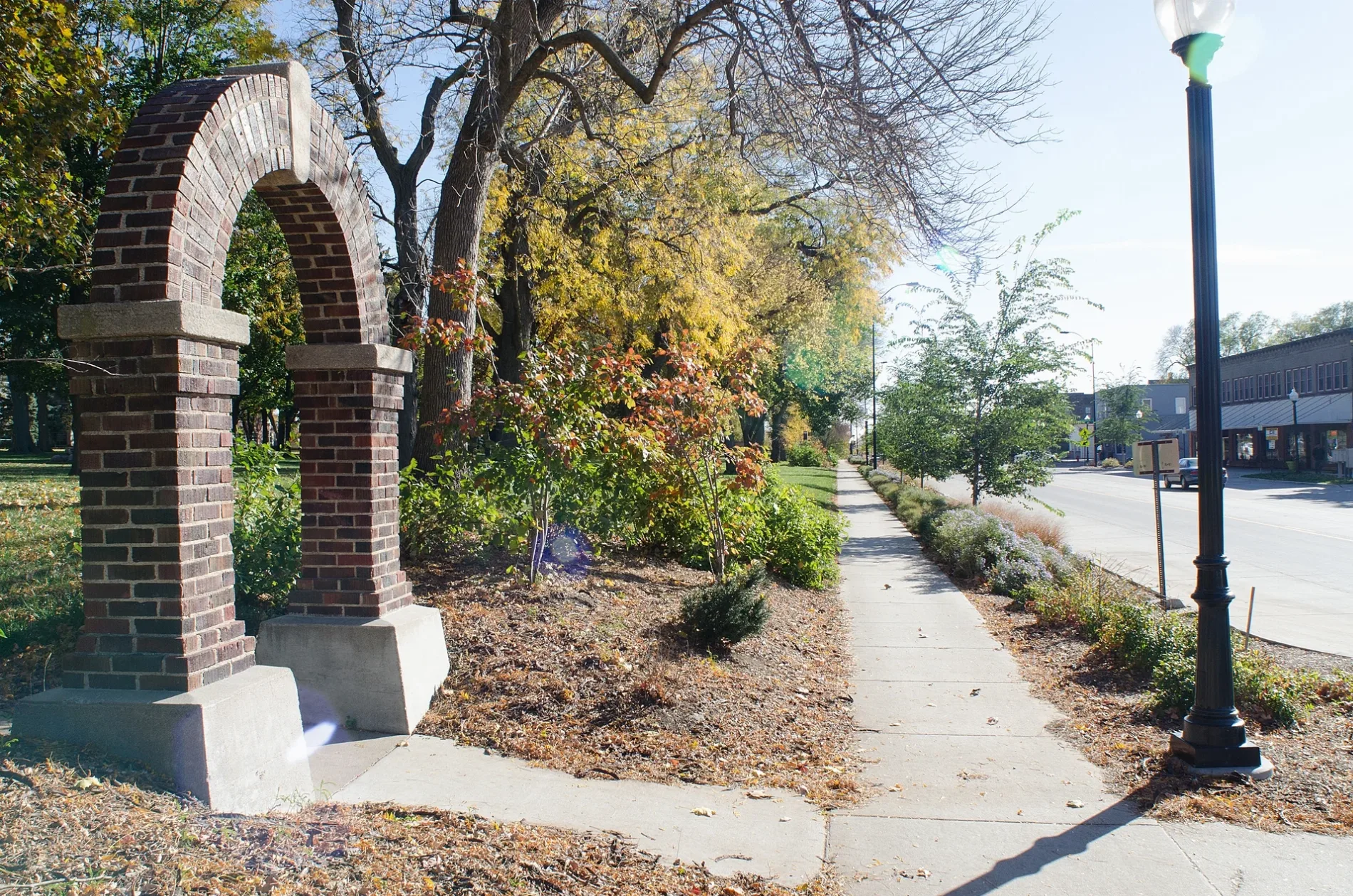
South 49th Street in College View, Lincoln, Nebraska
South 49th Street in College View in Lincoln is a residential street and it runs in a north-south direction starting from Pioneers Boulevard and ends at Spruce Street. Nearby there is among others a police station. South 49th Street also exists in South 48th.
- Road Type
- residential street
- Route
- north-south
Image
Police stations
Streets nearby
South 50th StreetWoodland Terrace
350 ft
South 51st Street0.2 mi
Locust Street0.2 mi
Linden StreetPound Heights
0.2 mi
Southhaven Circle0.2 mi
La Salle StreetUnion Heights
0.2 mi
Spruce Street0.2 mi
Pioneers BoulevardPhillips 66, Colby Ridge, LaMar’s, Little Caesars, Pella Windows & Doors
0.3 mi
Southhaven Drive0.3 mi
South 45th Street0.3 mi
Cresthaven Drive0.3 mi
South 44th Street0.4 mi
Ginny Avenue0.4 mi
Lowell AvenueShorty Harris, Farmers Market, Kenaston
0.4 mi
South 43rd Street0.4 mi
Meredeth StreetCasey's General Store
0.4 mi
South 52nd Street0.4 mi
South 47th Street0.4 mi
South 53rd Street0.5 mi
Clifford Drive0.5 mi
Bancroft AvenueGeorge Stone Elementary & Middle School
0.5 mi
South 42nd Street0.5 mi
South 48th StreetValentino's, Casey's General Store, Godfather's Pizza, College View, Pattino Shoe Boutique
0.5 mi
Calvert Street0.6 mi
Stockwell StreetEyes of the World Imports
0.6 mi
Cooper AvenueBadgers Bookshop
0.6 mi
Prescott AvenueGoldenrod Pastries, The Mill on Prescott, Conroy's College View Bakery, Sunny's Boutique
0.6 mi
South 46th StreetPrairie Hill
0.6 mi
Hillside Street0.6 mi
Apartment buildings nearby
Safe Harbor Living LLC0.5 mi
Car washes nearby
Power Wash0.1 mi
Commercial buildings nearby
Calvert Place Mall0.6 mi
Dormitories nearby
Cooper Place0.4 mi
Fitness centers nearby
Thunderdome0.3 mi
Places of worship nearby
College View Seventh Day Adventist Church0.2 mi
Restaurants nearby
Penelope's Lil Cafe0.1 mi
Retail buildings nearby
Stoneview Center0.1 mi
School buildings nearby
Calvert Elementary School0.5 mi
Sports centers nearby
Calvert Recreation Center0.5 mi
Sports halls nearby
AdventHealth Complex0.5 mi
Technical colleges nearby
Carnegie Building0.3 mi
Ortner Center0.3 mi
Prescott Hall0.3 mi
University buildings nearby
AdventSource0.3 mi
Don Love Building0.3 mi
Everett Dick Administration Building0.4 mi
Krueger Center for Science and Mathematics0.4 mi
Larson Lifestyle Center0.5 mi
Engel Hall0.5 mi
Public transit map College View Legend
| Railway | |
| Bus | |
| Streetcar |
Bicycle map College View Legend
| Bike path | |
| Bike lane on roadway | |
| Cycling allowed on bus lane | |
| Bicycle street | |
| Open to cyclists | |
| Open to cyclists, good path | |
| Cycling prohibited | |
| Cobblestone |
| Long-distance bike route | (depending on scale) | |
| Long-distance bike route |
Pedestrian map College View Legend
| Path |
| Long-distance hiking trail | (depending on scale) | |
| Long-distance hiking trail | ||
| Pedestrians prohibited |