
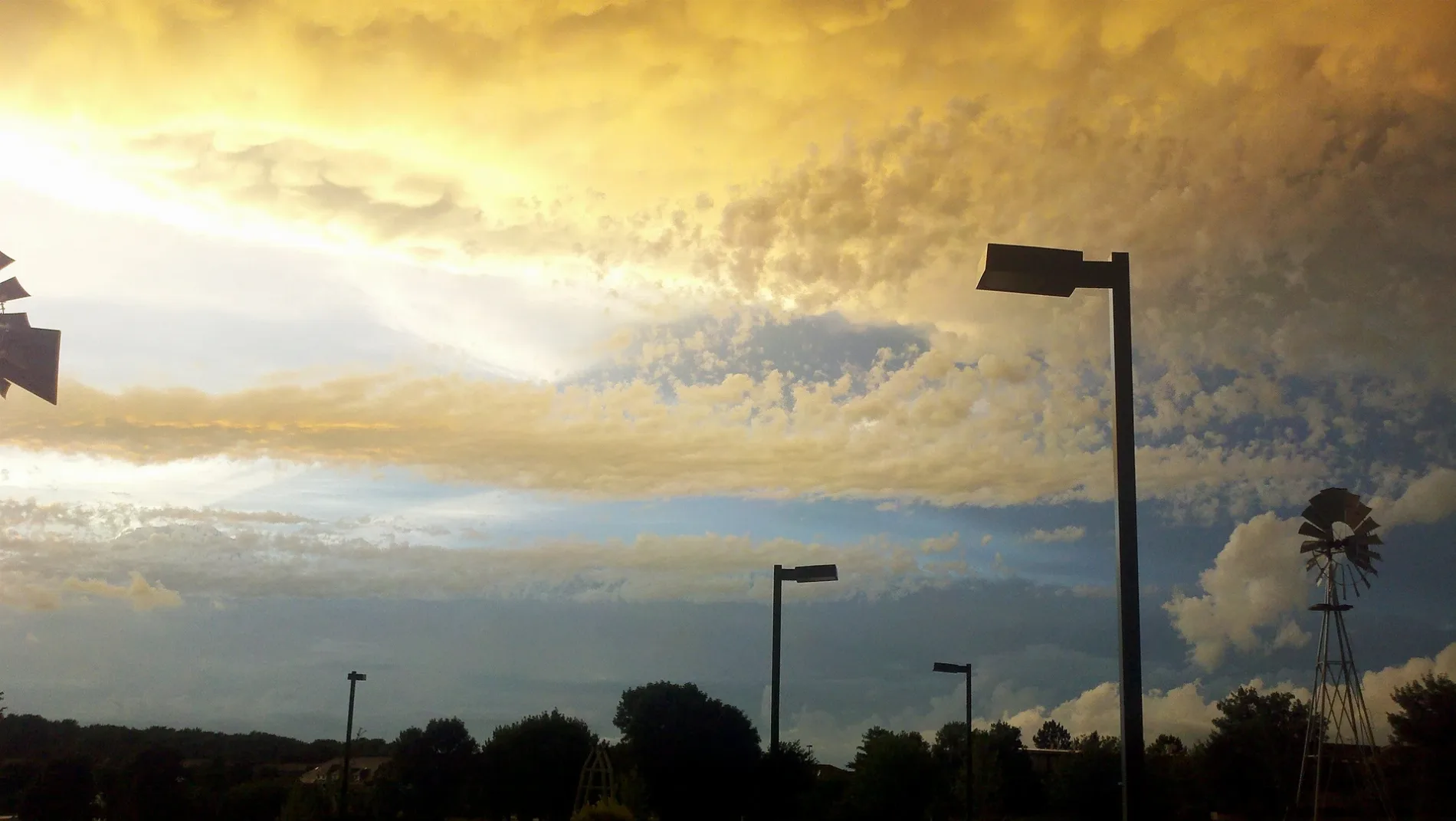
Barons Road in University of Nebraska Technology Park, Lincoln, Nebraska
Barons Road in University of Nebraska Technology Park in Lincoln is a residential street. It runs in a southeast-northwest direction starting from West Lombard Drive and crosses West Chancery Road and Northwest Pemberly Lane and ends at Northwest 1st Street. It connects Highlands and University of Nebraska Technology Park.
- Road Type
- residential street
- Route
- southeast-northwest
Image
Bus stops
Streets nearby
Northwest Pemberly LaneBarons Ridge
0.1 mi
Chadderton Circle0.1 mi
Chancery Lane0.1 mi
Chancery Court0.2 mi
West Lombard Drive0.2 mi
West Bedford Street0.2 mi
West Highland BoulevardHacienda Real
0.2 mi
Northwest 2nd Street0.2 mi
West Grand Drive0.2 mi
West Brixton Drive0.2 mi
West Lombard Court0.2 mi
Northwest Cuming Street0.2 mi
West Chancery Road0.3 mi
Innovation Drive0.3 mi
Technology Drive0.3 mi
Highlands Trail0.3 mi
Superior Street Trail0.3 mi
Northwest 3rd Street0.3 mi
Northwest 4th Circle0.3 mi
West Harvest Drive0.3 mi
Northwest Tudor Lane0.4 mi
Northwest 1st StreetSunny Nails, Hurlbut Dental, Salon Bravo, Amigos Kings Classic, Highlands Great Wall, Subway, D'Leon's, Pizza Hut, Rebel Bean Coffee Roasters, NW 1st & W Grand Drive
0.4 mi
Campers Circle0.4 mi
Superior StreetCasey's General Store, Superior & Bel‐Ridge Drive, Superior, Trendz Hair Studio
0.4 mi
Northwest 5th Street0.5 mi
Northwest 2nd Circle0.5 mi
Purple Heart Highway0.5 mi
West Fletcher Avenue0.6 mi
West Godfrey Circle0.6 mi
North 1st Street1st & Adams Street, 1st & W Garber Avenue
0.7 mi
Fletcher AvenueNorth Creek, North Creek Childhood Development Center
0.7 mi
Amenities nearby
Highlands Academy Inc0.4 mi
Bars nearby
Down The Hatch Bar & Grill0.2 mi
Buildings nearby
Gene Seek0.4 mi
Links at Lincoln0.5 mi
Campgrounds nearby
Camp A Way Campground & RV Park0.5 mi
Dams nearby
Links at Lincoln Dam0.5 mi
Fire stations nearby
Fire Station 140.1 mi
Gas stations nearby
Phillips 660.4 mi
Industrial areas nearby
Nebraska Department of Transportation District 1 Headquarters0.5 mi
Office buildings nearby
GIS Workshop Inc550 ft
Places of worship nearby
Spirit of Hope Lutheran Church0.4 mi
Word of Life Lutheran Church0.7 mi
Playgrounds nearby
Highlands Academy Playground0.4 mi
Preschools nearby
Kelly's Kids LDC, Inc.0.1 mi
Residential areas nearby
Horizons Apartments and Villas0.3 mi
Sports fields nearby
Tennis0.6 mi
Universities nearby
Nebraska Center for Excellence in Electronics0.4 mi
Veterinary clinics nearby
Highlands Animal Hospital0.2 mi
Public transit map University of Nebraska Technology Park Legend
| Railway | |
| Bus | |
| Streetcar |
Bicycle map University of Nebraska Technology Park Legend
| Bike path | |
| Bike lane on roadway | |
| Cycling allowed on bus lane | |
| Bicycle street | |
| Open to cyclists | |
| Open to cyclists, good path | |
| Cycling prohibited | |
| Cobblestone |
| Long-distance bike route | (depending on scale) | |
| Long-distance bike route |
Pedestrian map University of Nebraska Technology Park Legend
| Path |
| Long-distance hiking trail | (depending on scale) | |
| Long-distance hiking trail | ||
| Pedestrians prohibited |