
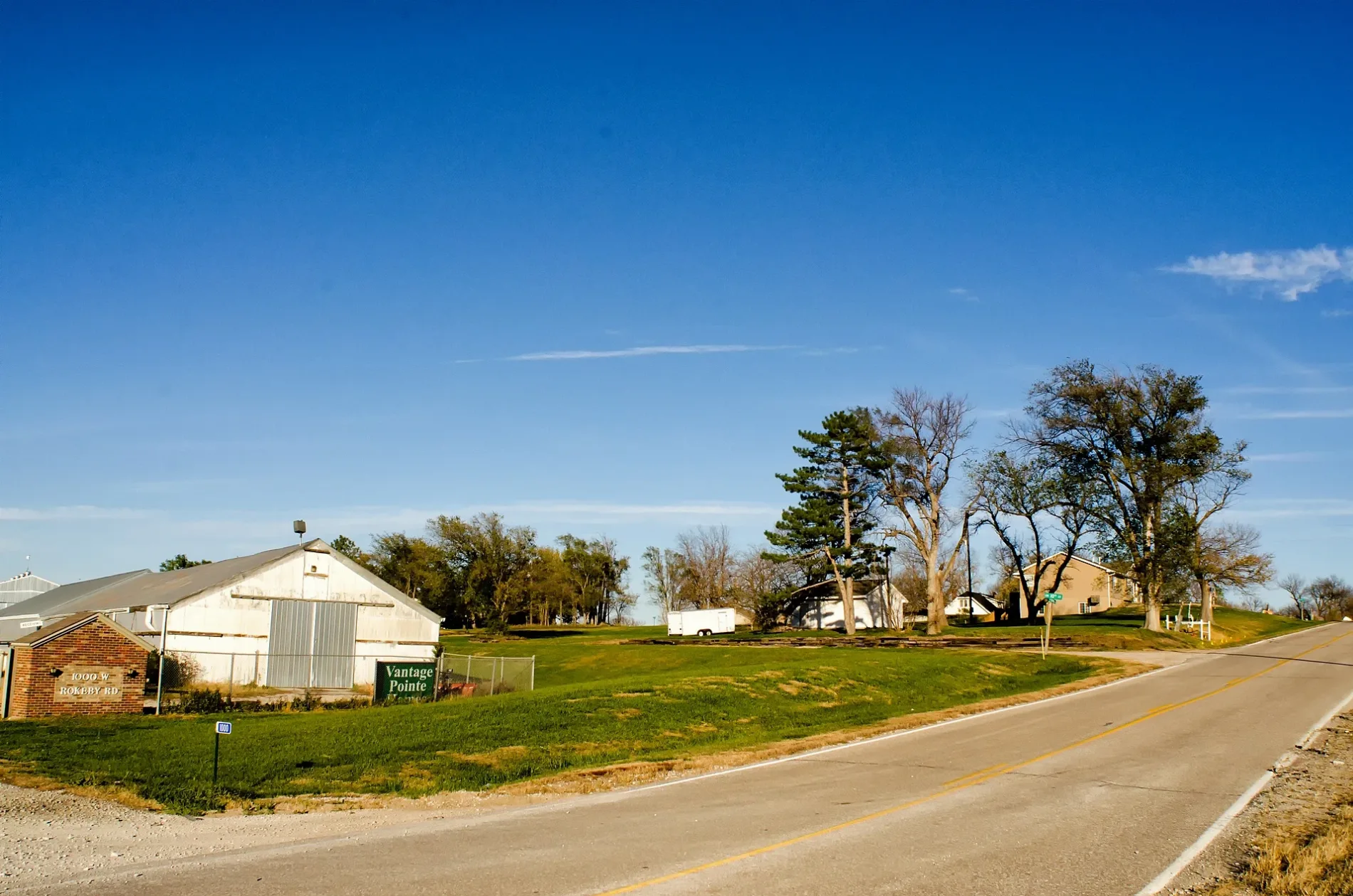
West Rokeby Road in Rokeby, Nebraska
West Rokeby Road in Lancaster County, Rokeby is a local road. It runs in an east-west direction starting from Southwest 86th Street and crosses Southwest 84th Street, Southwest 70th Street, Southwest 56th Street, Southwest 40th Street, Southwest 27th Street, Southwest 12th Street, Southwest 10th Street, Southwest 9th Street and South 1st Street and ends at Rokeby Road. It connects Lancaster County, Rokeby and Vantage Pointe Estates.
- Road Type
- local road
- Route
- east-west
Image
Streets nearby
Southwest 10th Street350 ft
West Darcie StreetRokeby
450 ft
Southwest 9th Street550 ft
West Rokeby RoadRokeby Public School, Trinity Chapel
0.6 mi
Southwest 13th Street1.1 mi
Southwest 17th Street1.2 mi
West Burr Oaks Road1.2 mi
Southwest 27th Street1.2 mi
South 1st Street1.2 mi
Southwest 14th StreetCenter School, Centerville, Central High School
1.2 mi
West Dakota Springs Drive1.3 mi
Southwest 18th Street1.3 mi
South 2nd Street1.3 mi
West Foothills Road1.4 mi
Yankee Hill Road1.4 mi
West Blackfoot Drive1.4 mi
West Dolores Court1.4 mi
West Santee Court1.4 mi
Southwest 2nd Street1.4 mi
West Dunraven Court1.4 mi
South 5th StreetWilderness Park Estates
1.5 mi
West Dunraven Lane1.5 mi
Wilderness Park Trail1.5 mi
Southwest 25th Street1.5 mi
West Ridgewood Boulevard1.5 mi
Southwest Woodberry Drive1.5 mi
West Foreman DriveForeman Ridge
1.5 mi
West Saltillo Road1.6 mi
West Cademon Court1.6 mi
Southwest 12th Street1.6 mi
West Cademon Circle1.6 mi
West Set Aside Court1.6 mi
Wilderness Park1.6 mi
West Winfield Court1.6 mi
Southwest 22nd Street1.6 mi
West Winfield Road1.7 mi
West Roxbury Lane1.7 mi
West Set Aside Circle1.7 mi
South 7th Street1.7 mi
Southwest 24th Street1.7 mi
Rokeby Road1.7 mi
Southwest Grey Fawn Drive1.8 mi
Fireplace Circle1.8 mi
US Highway 771.8 mi
Shriner Way1.8 mi
Saltillo RoadSubway, Saltillo
1.8 mi
Abandoned railways nearby
Chicago, Rock Island, & Pacific Railroad400 ft
Industrial areas nearby
Rokeby Power Plant1.3 mi
Motorcycle shops nearby
Rod's Power Sports1.8 mi
Streams nearby
Cardwell Branch1.6 mi
 Public transit map Rokeby Legend
| Railway | |
| Bus | |
| Streetcar |
 Bicycle map Rokeby Legend
| Bike path | |
| Bike lane on roadway | |
| Cycling allowed on bus lane | |
| Bicycle street | |
| Open to cyclists | |
| Open to cyclists, good path | |
| Cycling prohibited | |
| Cobblestone |
| Long-distance bike route | (depending on scale) | |
| Long-distance bike route |
 Pedestrian map Rokeby Legend
| Path |
| Long-distance hiking trail | (depending on scale) | |
| Long-distance hiking trail | ||
| Pedestrians prohibited |