
A Street in Roca, Nebraska
A Street in Roca is a dirt residential street (permitted). It runs in a north-south direction starting from Vine Street and crosses Main Street and Locust Street and ends at Roy Street.
- Road Type
- residential street
- Route
- north-south
Image
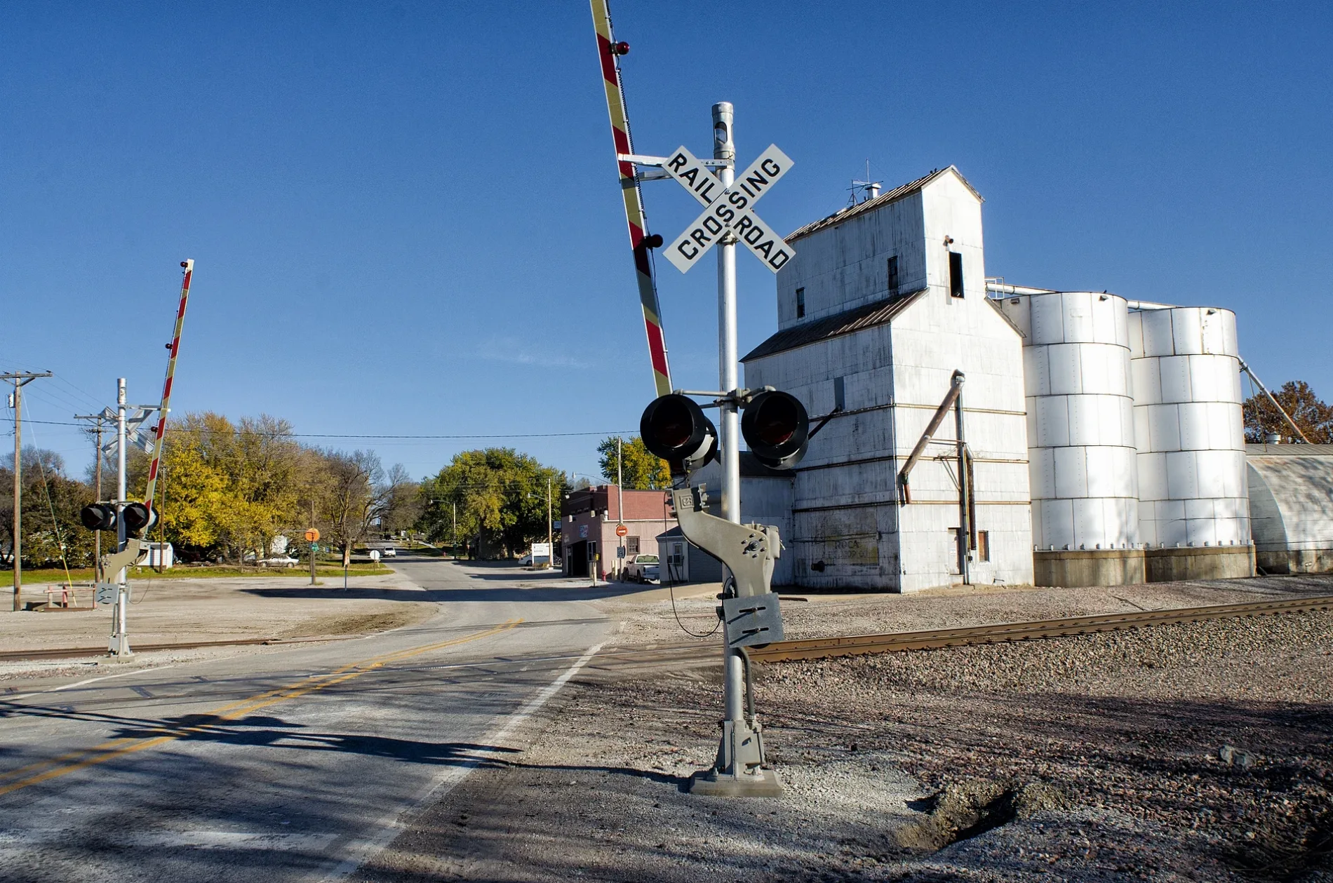
Post offices
Streets nearby
B StreetRoca Post Office
550 ft
Main StreetRoca
0.2 mi
Locust Street0.2 mi
C Street0.2 mi
Vine Street0.2 mi
D Street Circle0.2 mi
D Street0.2 mi
Roy Street0.2 mi
E Street0.3 mi
Weilage Road0.5 mi
Homestead TrailHanlon
0.6 mi
South 38th Street0.6 mi
Roca Road0.6 mi
Prairie Sage Drive0.8 mi
South 46th Street0.9 mi
Quarry Ledge Road1.0 mi
Brandon Boulevard1.0 mi
Nicholas Court1.1 mi
Spencer Lane1.1 mi
South 58th Place1.1 mi
South 26th Drive1.2 mi
Red Kite Lane1.2 mi
Silver Spring Court1.2 mi
South 59th Street1.2 mi
Raptor Drive1.3 mi
South 35th Place1.3 mi
Sea Eagle Lane1.3 mi
Elderberry Lane1.3 mi
South 60th Street1.3 mi
Silverhawk Court1.3 mi
South 61st Place1.3 mi
South 54th Street1.3 mi
Wittstruck Road1.5 mi
Abandoned railways nearby
Missouri Pacific Railroad1.2 mi
Buildings nearby
Farmers Cooperative100 ft
Chicago Burlington & Quincy RR0.1 mi
Farmers Co-Op0.1 mi
Cemeteries nearby
Roca Cemetery0.8 mi
Dams nearby
Eisenbarth Dam1.1 mi
Guest houses nearby
Roca Country Inn0.1 mi
Places of worship nearby
Faith of Our Father Lutheran Church0.3 mi
Public buildings nearby
Roca Community Center0.1 mi
Pubs nearby
Roca Tavern450 ft
Railways nearby
BNSF Saint Joseph Subdivision500 ft
Residential areas nearby
Silverhawk Estates Addition1.1 mi
Whitetail Ridge 1st Addition1.2 mi
Rivers nearby
Salt Creek0.7 mi
Streams nearby
Hickman Branch0.6 mi
Town halls nearby
Roca Village Hall550 ft
 Public transit map Roca Legend
| Railway | |
| Bus | |
| Streetcar |
 Bicycle map Roca Legend
| Bike path | |
| Bike lane on roadway | |
| Cycling allowed on bus lane | |
| Bicycle street | |
| Open to cyclists | |
| Open to cyclists, good path | |
| Cycling prohibited | |
| Cobblestone |
| Long-distance bike route | (depending on scale) | |
| Long-distance bike route |
 Pedestrian map Roca Legend
| Path |
| Long-distance hiking trail | (depending on scale) | |
| Long-distance hiking trail | ||
| Pedestrians prohibited |