
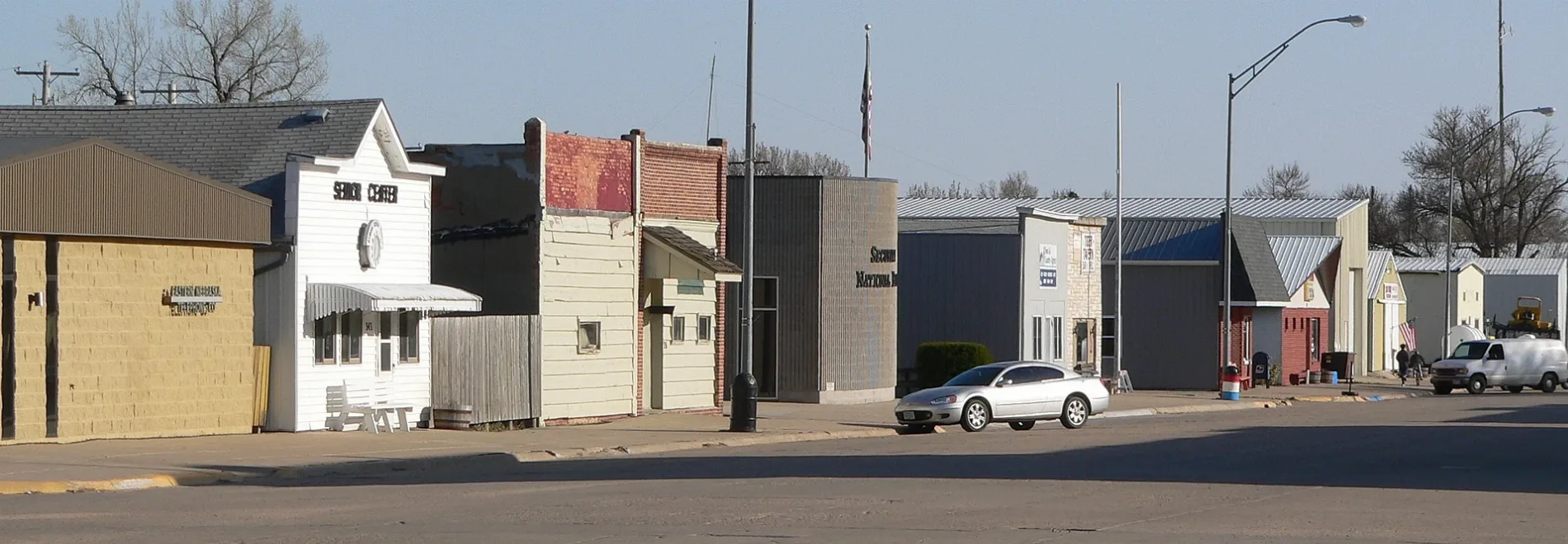
North Meadow Street in Osmond, Nebraska
North Meadow Street in Osmond is a residential street. It runs in a north-south direction starting from West 6th Street and crosses West 5th Street and West 4th Street and ends at West 3rd Street.
- Road Type
- residential street
- Route
- north-south
Image
Post offices
Dentist offices
Places of worship
Libraries
Fire stations
Streets nearby
North Main StreetImmanuel Lutheran Preschool
0.1 mi
West 4th Street0.2 mi
North Fulton Street0.2 mi
South Main Street0.2 mi
North Logan Street0.2 mi
West 2nd Street0.2 mi
West 3rd StreetOsmond Post Office
0.3 mi
West 6th Street0.3 mi
West 1st Street0.3 mi
West 5th Street0.3 mi
South Logan Street0.3 mi
North State StreetOsmond Public Library, Family 1st Dental of Osmond
0.3 mi
South State Street0.3 mi
Front Street0.3 mi
Main Street0.3 mi
Highway 1210.4 mi
West 7th Street0.4 mi
East 5th StreetSaint Mary Elementary School
0.4 mi
East 4th StreetOsmond, Osmond Fire Department, Osmond City Police Department
0.4 mi
North Maple Street0.4 mi
East 2nd Street0.4 mi
East 3rd Street0.4 mi
West 8th Street0.4 mi
North Hill StreetSaint Mary of the Seven Dolors Church
0.5 mi
Market Street0.5 mi
East 6th StreetOsmond United Methodist Church
0.5 mi
3rd Street0.5 mi
Maple Street0.5 mi
4th Street0.5 mi
Prairie StreetImmanuel Lutheran Church
0.5 mi
East 7th Street0.5 mi
Chestnut Street0.5 mi
East 8th Street0.5 mi
State Street0.6 mi
Park Street0.6 mi
864 Road0.7 mi
865 Road1.0 mi
546th Avenue1.1 mi
547 Avenue1.2 mi
547th Avenue1.5 mi
863 Road1.6 mi
866th Road1.6 mi
 Public transit map Osmond Legend
| Railway | |
| Bus | |
| Streetcar |
 Bicycle map Osmond Legend
| Bike path | |
| Bike lane on roadway | |
| Cycling allowed on bus lane | |
| Bicycle street | |
| Open to cyclists | |
| Open to cyclists, good path | |
| Cycling prohibited | |
| Cobblestone |
| Long-distance bike route | (depending on scale) | |
| Long-distance bike route |
 Pedestrian map Osmond Legend
| Path |
| Long-distance hiking trail | (depending on scale) | |
| Long-distance hiking trail | ||
| Pedestrians prohibited |