
Boswell Avenue in Crete, Nebraska
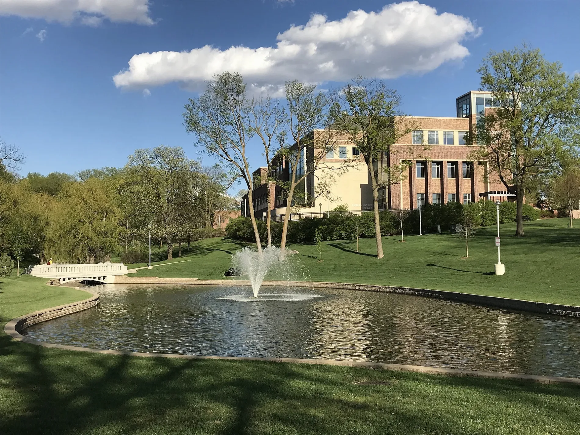
Boswell Avenue in Crete is a local road. It runs in a north-south direction and crosses East 24th Street, East 23rd Street, East Highway 33, 20th Street, Valley View, East 19th Street, East 18th Street, Longwood Drive, East 16th Street, East 15th Street, East 14th Street and East 13th Street. It ends in a cul-de-sac.
- Road Type
- local road
- Route
- north-south
Image
Theaters
Libraries
Schools
Hair salons
Hotels
Places of worship
Police stations
Doctor's offices
Gas stations
Social facilities
Nursing homes
Tourist information centers
Streets nearby
College Drive300 ft
Doane Loop0.1 mi
Forest Avenue0.1 mi
8th StreetBethlehem Lutheran Church
0.2 mi
Grove Avenue0.2 mi
Hawthorne Avenue0.2 mi
Frees Avenue0.2 mi
East 9th StreetPlymouth Congregational Church
0.3 mi
Ivy AvenueSaint James Elementary School, Sacred Heart Catholic Church
0.3 mi
East 13th StreetArt City Barbershop
0.3 mi
Osterhout Lane0.3 mi
East 14th Street0.3 mi
East 7th Street0.3 mi
Juniper Avenue0.3 mi
Doane Drive0.3 mi
East 6th Street0.3 mi
East 12th StreetFirst Congregational United Church of Christ, Blue Valley Behavioral Health
0.3 mi
Cherrywood Drive0.3 mi
Code Avenue0.4 mi
East 10th Street0.4 mi
East 11th Street0.4 mi
East 5th Street0.4 mi
Kingwood Avenue0.4 mi
Buildings nearby
Boswell Observatory250 ft
Crete School District Administration0.4 mi
Dormitories nearby
Frees Hall0.2 mi
Smith Hall0.2 mi
Sheldon Hall0.2 mi
Hansen Hall0.2 mi
Fast food restaurants nearby
Burger King0.4 mi
Fitness centers nearby
Butler Gymnasium0.2 mi
Libraries nearby
Crete Public Library0.4 mi
Parks nearby
Little League Park0.3 mi
Wildwood Park0.3 mi
Crete City Park0.4 mi
Places of worship nearby
Grace United Methodist Church0.4 mi
Post offices nearby
Crete Post Office0.5 mi
Sports centers nearby
Haddix Center0.3 mi
Sports fields nearby
Simon Field0.3 mi
Town halls nearby
Crete City Hall0.4 mi
University buildings nearby
Lee Memorial Chapel and Whitcomb Conservatory200 ft
Padour-Walker Administration Building400 ft
Gaylord Hall400 ft
Maintenance Building0.1 mi
Chab Weyers Education & Hixson Lied Art Building0.1 mi
Perry Memorial Campus Center0.1 mi
Communications Building0.2 mi
Waters nearby
Miller Pond0.2 mi
Doane Lake0.2 mi
 Public transit map Crete Legend
| Railway | |
| Bus | |
| Streetcar |
 Bicycle map Crete Legend
| Bike path | |
| Bike lane on roadway | |
| Cycling allowed on bus lane | |
| Bicycle street | |
| Open to cyclists | |
| Open to cyclists, good path | |
| Cycling prohibited | |
| Cobblestone |
| Long-distance bike route | (depending on scale) | |
| Long-distance bike route |
 Pedestrian map Crete Legend
| Path |
| Long-distance hiking trail | (depending on scale) | |
| Long-distance hiking trail | ||
| Pedestrians prohibited |