
Nightwatch Avenue in Bellevue Second IV Precinct Township, Nebraska
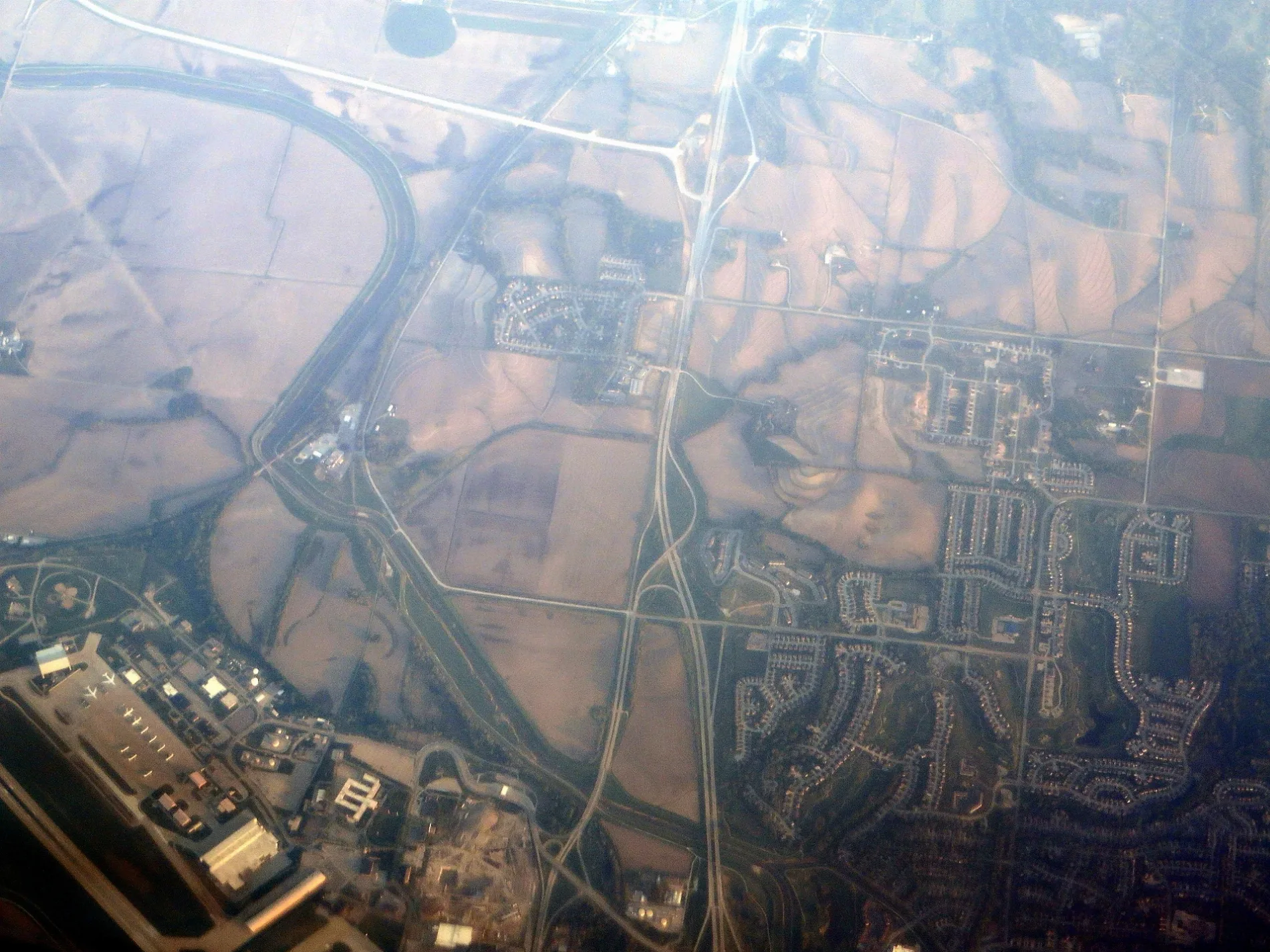
Nightwatch Avenue in Sarpy County is a residential street (private). It runs in a northeast-southwest direction starting from Nightwatch Ave and crosses Looking Glass Avenue and ends at Butler Boulevard.
- Road Type
- residential street
- Route
- northeast-southwest
Image
Tourist information centers
Restaurants
Auto repair shops
Opticians
Hair salons
Bus stops
Gas stations
Pubs
Supermarkets
Department stores
Computer stores
Fast food restaurants
Clothing stores
Vending machines
Cafes
Banks
Pharmacies
Streets nearby
55th SF Dr.0.1 mi
Butler Road0.2 mi
Nightwatch Ave0.3 mi
Recon Road0.3 mi
Columbia Drive0.4 mi
Comsat Drive0.5 mi
Mercury Avenue0.6 mi
Warhawk Road0.6 mi
Warhark Road0.6 mi
Looking Glass AvenueBldg 500 STRATCOM
0.6 mi
Videmus Omnia View0.6 mi
55th Street0.7 mi
Quarter Deck0.7 mi
SAC BoulevardAAFES Mini Mall Fuel, Patriot Club, Raiders Lounge
0.7 mi
Stratton Avenue0.7 mi
Butler Boulevard0.7 mi
Cunningham Road0.8 mi
Garland StreetFirestone Auto Care, Redbox, Hunt Brothers
0.8 mi
Fairview Road0.8 mi
South 5th Street0.9 mi
Jackson Circle0.9 mi
Attractions nearby
Homesick Angel0.7 mi
Buildings nearby
55th Security Forces Indoor Shooting Range350 ft
55th Security Forces400 ft
Non-Kinetic Operations Campus0.1 mi
55th Security Forces K-9 Kennel0.2 mi
OSS-SERE0.2 mi
DCS0.2 mi
Four-Plex Softball Fields0.4 mi
Logistics Readiness Squadron0.4 mi
AT&T0.7 mi
Construction sites nearby
MilStar Blgd.0.5 mi
Fire stations nearby
Base Fire Station0.8 mi
Fitness centers nearby
Offutt Field House0.7 mi
Hangars nearby
Bennie Davis Maintenance Bldg0.6 mi
Hotels nearby
Offutt Inn - Lodging0.8 mi
Dougherty Conference Center0.8 mi
Playgrounds nearby
Child Parent Area0.7 mi
Post offices nearby
Base Post Office0.8 mi
Railways nearby
BNSF Omaha Subdivision0.5 mi
UP Falls City Subdivision0.6 mi
Shopping malls nearby
AAFES Mini Mall0.9 mi
Sports centers nearby
Champions Village0.9 mi
Streams nearby
Offutt Creek0.5 mi
Fairview Creek0.8 mi
Tourist information centers nearby
Visitor Control Center0.8 mi
Veterinary clinics nearby
Veterinary Clinic0.3 mi
Other nearby
P0.6 mi
C0.9 mi
 Public transit map Bellevue Second IV Precinct Legend
| Railway | |
| Bus | |
| Streetcar |
 Bicycle map Bellevue Second IV Precinct Legend
| Bike path | |
| Bike lane on roadway | |
| Cycling allowed on bus lane | |
| Bicycle street | |
| Open to cyclists | |
| Open to cyclists, good path | |
| Cycling prohibited | |
| Cobblestone |
| Long-distance bike route | (depending on scale) | |
| Long-distance bike route |
 Pedestrian map Bellevue Second IV Precinct Legend
| Path |
| Long-distance hiking trail | (depending on scale) | |
| Long-distance hiking trail | ||
| Pedestrians prohibited |