
South Harvell Drive in Bellevue, Nebraska
South Harvell Drive in Bellevue is a two-lane secondary road. It runs in a southeast-northwest direction and crosses Freeman Drive, Park Avenue, Logan Avenue, Jewell Road, Harvell Drive, Lincoln Road, Franklin Street and West 16th Avenue. It ends in a cul-de-sac.
- Road Type
- secondary road
- Lanes
- 1
- Route
- southeast-northwest
Image
Hair salons
Computer stores
Theaters
Sewing supply stores
Antique stores
Hardware stores
Places of worship
Fire stations
Pubs
Clothing stores
Community centers
Jewelry stores
Restaurants
Tourist information centers
Specialty stores
Dentist offices
Shopping malls
Tattoo studios
Gas stations
Streets nearby
West 16th Avenue100 ft
Jefferson Street250 ft
East 16th Avenue550 ft
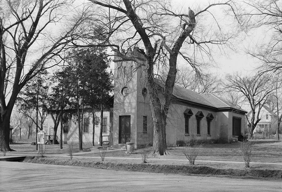
East 15th AvenueSaint James United Methodist Church
0.1 mi
West 18th Avenue0.1 mi
Farrell Drive0.2 mi
Washington Street0.2 mi
East 17th Avenue0.2 mi
Wayne Street0.2 mi
West 19th Avenue0.2 mi
East 14th Avenue0.2 mi
East 18th Avenue0.2 mi
Dennis Drive0.2 mi
Foster Drive0.2 mi
Lawre Circle0.3 mi
Robinson Avenue0.3 mi
Warren Street0.3 mi
Main Street0.3 mi
East 19th Avenue0.3 mi
Hancock StreetBellevue Log Cabin Historical Marker
0.3 mi
Madison StreetBellevue Church of Christ, Steve's Floor Coverings, River City Consignments
0.3 mi
Lord Boulevard0.3 mi
Waldo Circle0.3 mi
West 13th Avenue0.3 mi
West 14th Avenue0.3 mi
West 20th Avenue0.3 mi
East 13th Avenue0.3 mi
West 15th Avenue0.4 mi
Franklin StreetAffordable Computer Repair, Luigi's, Willabees, Liberty Baptist Church
0.4 mi
Freeman Drive0.4 mi
West 21st Avenue0.4 mi
Bellevue Boulevard SouthFirst Presbyterian Church
0.4 mi
Jackson Street0.4 mi
Park Avenue0.4 mi
Gaslight Lane0.4 mi
Pluma Drive0.4 mi
Collins Drive0.5 mi
Lemay Drive0.5 mi
Durand Drive0.6 mi
Amenities nearby
Poolhouse0.2 mi
Buildings nearby
ENCAP0.3 mi
Cemeteries nearby
Bellevue Cemetery0.3 mi
Parks nearby
Reed Community Center0.2 mi
Washington Park0.3 mi
Freeman Park0.5 mi
Produce markets nearby
Bellevue Food Pantry0.3 mi
School buildings nearby
Bertha Barber Elementary School0.2 mi
Bellevue East High School0.5 mi
Swimming pools nearby
Dowding Pool0.1 mi
 Public transit map Bellevue Legend
| Railway | |
| Bus | |
| Streetcar |
 Bicycle map Bellevue Legend
| Bike path | |
| Bike lane on roadway | |
| Cycling allowed on bus lane | |
| Bicycle street | |
| Open to cyclists | |
| Open to cyclists, good path | |
| Cycling prohibited | |
| Cobblestone |
| Long-distance bike route | (depending on scale) | |
| Long-distance bike route |
 Pedestrian map Bellevue Legend
| Path |
| Long-distance hiking trail | (depending on scale) | |
| Long-distance hiking trail | ||
| Pedestrians prohibited |