
Cypress Avenue in Elko, Nevada
Cypress Avenue in Elko is an asphalted residential street. It runs in a southeast-northwest direction and crosses Dotta Drive. It ends in a cul-de-sac. Cypress Avenue also exists in Clark County.
- Road Type
- residential street
- Route
- southeast-northwest
Image
Jewelry stores
Variety stores
Charging stations
Supplement stores
Banks
Video game stores
Restaurants
Cafes
Casinos
Cell phone stores
Dentist offices
Vape shops
Ice cream shops
Schools
Fast food restaurants
Gas stations
Furniture stores
Beverage stores
Public bookcases
Department stores
Streets nearby
Laurel Drive450 ft
Hillside Drive0.1 mi
Cimarron Way0.1 mi
Northside Drive0.2 mi
Dotta Drive0.2 mi
Nevada Circle0.2 mi
Dwight D. Eisenhower Highway0.2 mi
50.3 mi
40.3 mi
West Sage Street0.3 mi
Spruce Road0.3 mi
Mountain City HighwayFamily Dollar, Aaron's, Verizon, Dotty's Casino, Starbucks, Shell, Round Table Pizza, Rolberto's, Elko Vape & Smoke, WaFd Bank
0.3 mi
30.3 mi
Thomas Gallagher Drive0.3 mi
Raptor Court0.3 mi
20.3 mi
Meadow Ridge Drive0.3 mi
Sewell Drive0.3 mi
Westwood Drive0.3 mi
10.3 mi
Aspen Way0.3 mi
Willow Street0.4 mi
Terminal Way0.4 mi
West Maple Street0.5 mi
Murray Way0.5 mi
West Birch Street0.5 mi
Highland Drive0.5 mi
Auto parts stores nearby
O'Reilly Auto Parts0.2 mi
AutoZone0.5 mi
Banks nearby
OE Federal Credit Union0.2 mi
Cafes nearby
Sierra Java0.3 mi
Car washes nearby
Elko Car Wash0.1 mi
Casinos nearby
Gold Dust West Casino0.2 mi
Commercial buildings nearby
Cal Ranch0.3 mi
Department stores nearby
Kohl's0.3 mi
Fast food restaurants nearby
KFC0.2 mi
Taco Bell0.2 mi
Wendy's0.4 mi
Gas stations nearby
Smith's Gas Station0.2 mi
Hotels nearby
Hampton Inn & Suites0.2 mi
Parks nearby
Angel Park0.3 mi
Places of worship nearby
First Presbyterian Church of Elko0.3 mi
Residential areas nearby
Cimarron West0.4 mi
Restaurants nearby
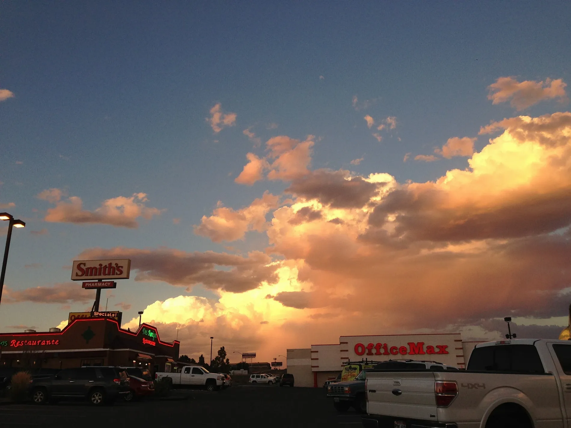
Dos Amigos0.2 mi
Retail areas nearby
Elko Junction0.4 mi
Stationery stores nearby
OfficeMax0.1 mi
Supermarkets nearby
Smith's0.1 mi
Other nearby
B0.4 mi
12/300.4 mi
 Public transit map Elko Legend
| Railway | |
| Bus | |
| Streetcar |
 Bicycle map Elko Legend
| Bike path | |
| Bike lane on roadway | |
| Cycling allowed on bus lane | |
| Bicycle street | |
| Open to cyclists | |
| Open to cyclists, good path | |
| Cycling prohibited | |
| Cobblestone |
| Long-distance bike route | (depending on scale) | |
| Long-distance bike route |
 Pedestrian map Elko Legend
| Path |
| Long-distance hiking trail | (depending on scale) | |
| Long-distance hiking trail | ||
| Pedestrians prohibited |