
Mountain City Highway in Elko, Nevada
Mountain City Highway in Elko is a two-lane main road. It runs in a southeast-northwest direction and crosses Jennings Way, Connolly Drive, Sagecrest Drive, Spruce Road, Aspen Way, Terminal Way, West Sage Street, Murray Way, North Cedar Street, West Idaho Street, West Silver Street and El Armuth Street. It ends in a cul-de-sac. This street is part of the highway "225". Nearby you can find among others a casino, a cafe, a gas station and a variety store.
- Road Type
- main road
- Lanes
- 2
- Speed Limit
- 35 mph
- Route
- southeast-northwest
Image
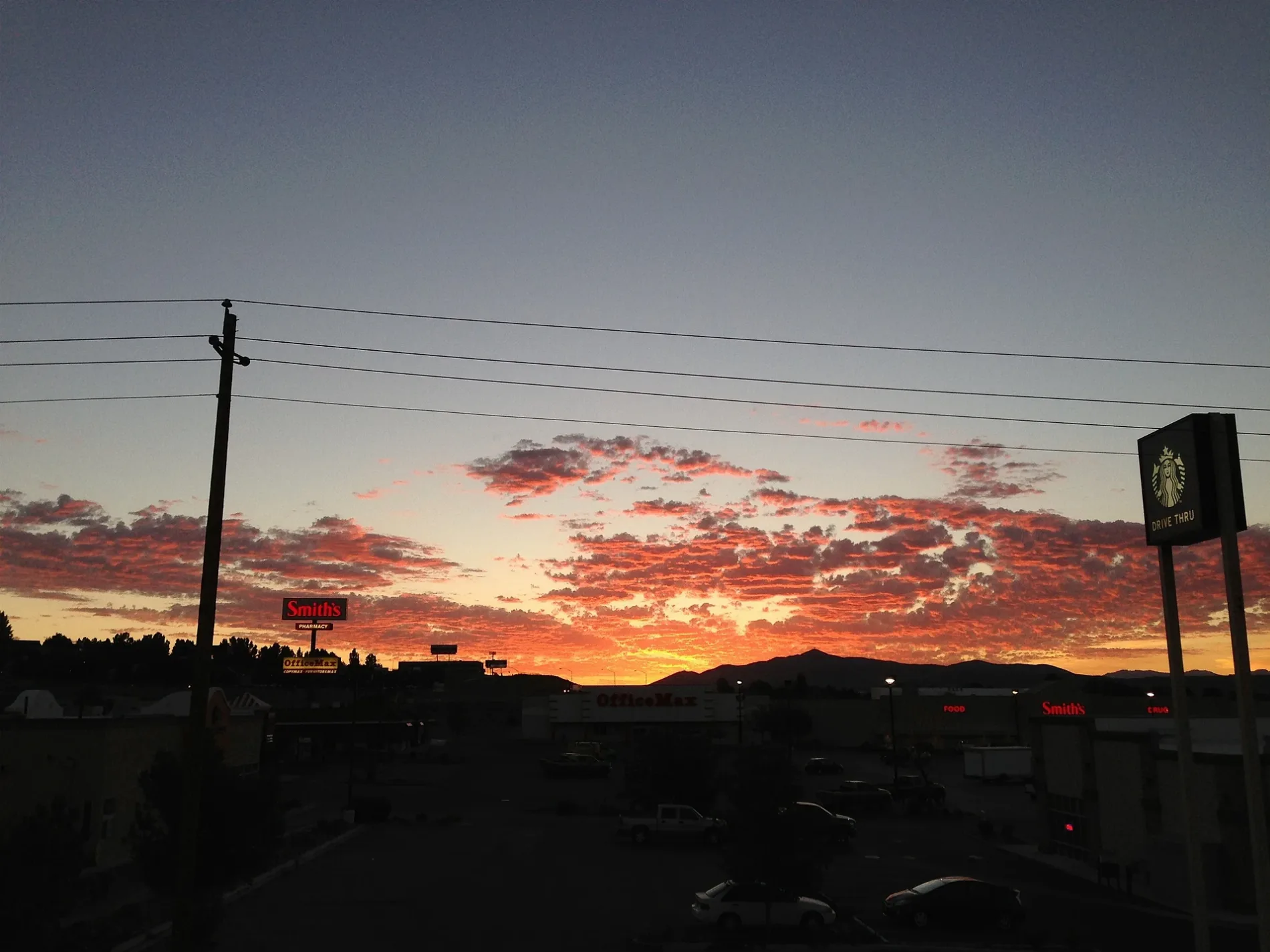
Restaurants
Banks
Casinos
Gas stations
Furniture stores
Fast food restaurants
Streets nearby
Aspen Way0.1 mi
Dwight D. Eisenhower Highway0.2 mi
Spruce Road0.2 mi
Sagecrest DriveMatties Taphouse and Grill, GameStop, T-Mobile, Sally Beauty, Cool Beans
0.2 mi
Noddle Lane0.3 mi
Argent AvenueElko Dental Care, Stonecraft Jewelers, Papa Murphy's, Fiiz Drinks
0.3 mi
Cypress Avenue0.3 mi
Thomas Gallagher Drive0.3 mi
Laurel Drive0.4 mi
Connolly Drive0.4 mi
Terminal Way0.4 mi
50.5 mi
Auto parts stores nearby
O'Reilly Auto Parts0.2 mi
Banks nearby
Elko Credit Federal Union0.2 mi
OE Federal Credit Union0.2 mi
Elko Federal Credit Union0.2 mi
Beauty salons nearby
Ulta Beauty0.3 mi
Cafes nearby
Sierra Java0.4 mi
Car washes nearby
Elko Car Wash0.2 mi
Casinos nearby
Gold Dust West Casino0.3 mi
Commercial buildings nearby
Cal Ranch0.2 mi
Department stores nearby
Kohl's0.2 mi
Fast food restaurants nearby
Taco Bell0.1 mi
KFC0.1 mi
Wendy's0.1 mi
Chipotle0.1 mi
Burger King0.2 mi
Arby's0.2 mi
Jack in the Box0.2 mi
McDonald's0.2 mi
Gas stations nearby
Smith's Gas Station0.2 mi
Maverik0.2 mi
Hotels nearby
Baymont Inn & Suites0.3 mi
Hampton Inn & Suites0.4 mi
Motels nearby
Shilo Inn0.2 mi
Movie theaters nearby
Elko Cinema 60.3 mi
Pet stores nearby
Petco0.3 mi
Residential areas nearby
Sagecrest Apartments0.4 mi
Restaurants nearby
Dos Amigos0.1 mi
Retail areas nearby
Elko Junction500 ft
Cimarron West0.4 mi
Sporting goods stores nearby
Big 5 Sporting Goods0.1 mi
Stationery stores nearby
OfficeMax0.2 mi
Streams nearby
East Adobe Creek0.3 mi
Supermarkets nearby
Smith's0.2 mi
Raley's0.2 mi
Water parks nearby
Splash Pad0.3 mi
Other nearby
B0.2 mi
12/300.5 mi
 Public transit map Elko Legend
| Railway | |
| Bus | |
| Streetcar |
 Bicycle map Elko Legend
| Bike path | |
| Bike lane on roadway | |
| Cycling allowed on bus lane | |
| Bicycle street | |
| Open to cyclists | |
| Open to cyclists, good path | |
| Cycling prohibited | |
| Cobblestone |
| Long-distance bike route | (depending on scale) | |
| Long-distance bike route |
 Pedestrian map Elko Legend
| Path |
| Long-distance hiking trail | (depending on scale) | |
| Long-distance hiking trail | ||
| Pedestrians prohibited |