
Orange, New Hampshire
Orange is located in Grafton County. About 277 people live here (as of 2020). Between 2010 and 2020, the population declined from 331 to 277. The region is at 371 meters above sea level. There are about 52 streets in Orange. The region was founded in 1790. The dialing code is 603. Orange is town in New Hampshire, United States. Among other things, Orange has attractions. More information at town.orange.nh.us.
Orange – Facts
| Population | 277 |
|---|---|
| Area | 23.2 |
| Year built | 1790 |
| Elevation | 371 m |
| Located in | Grafton County |
| Country | United States |
| Official name | Orange |
| Website | http://town.orange.nh.us/ |
Data source: Wikidata (CC0)
Photos from Orange
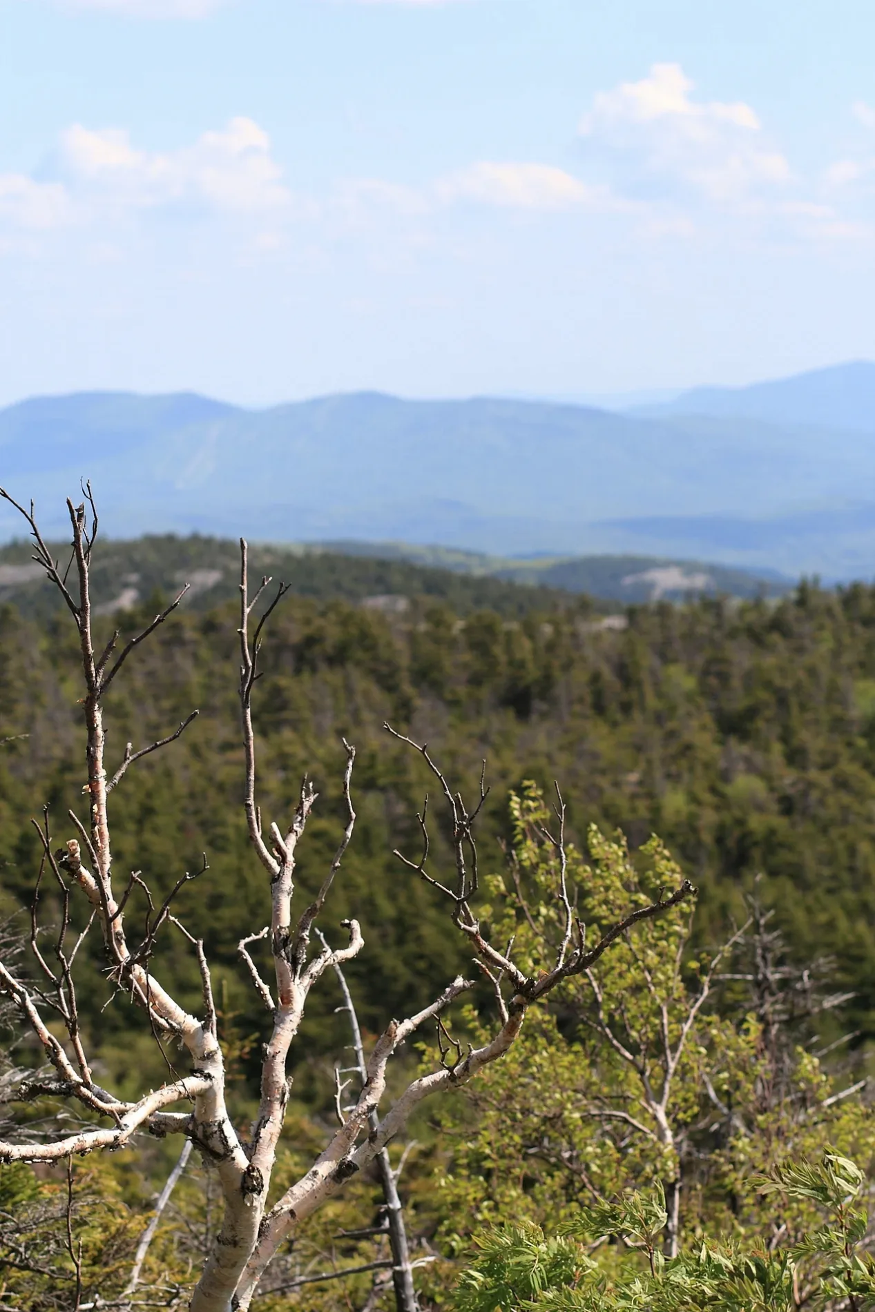
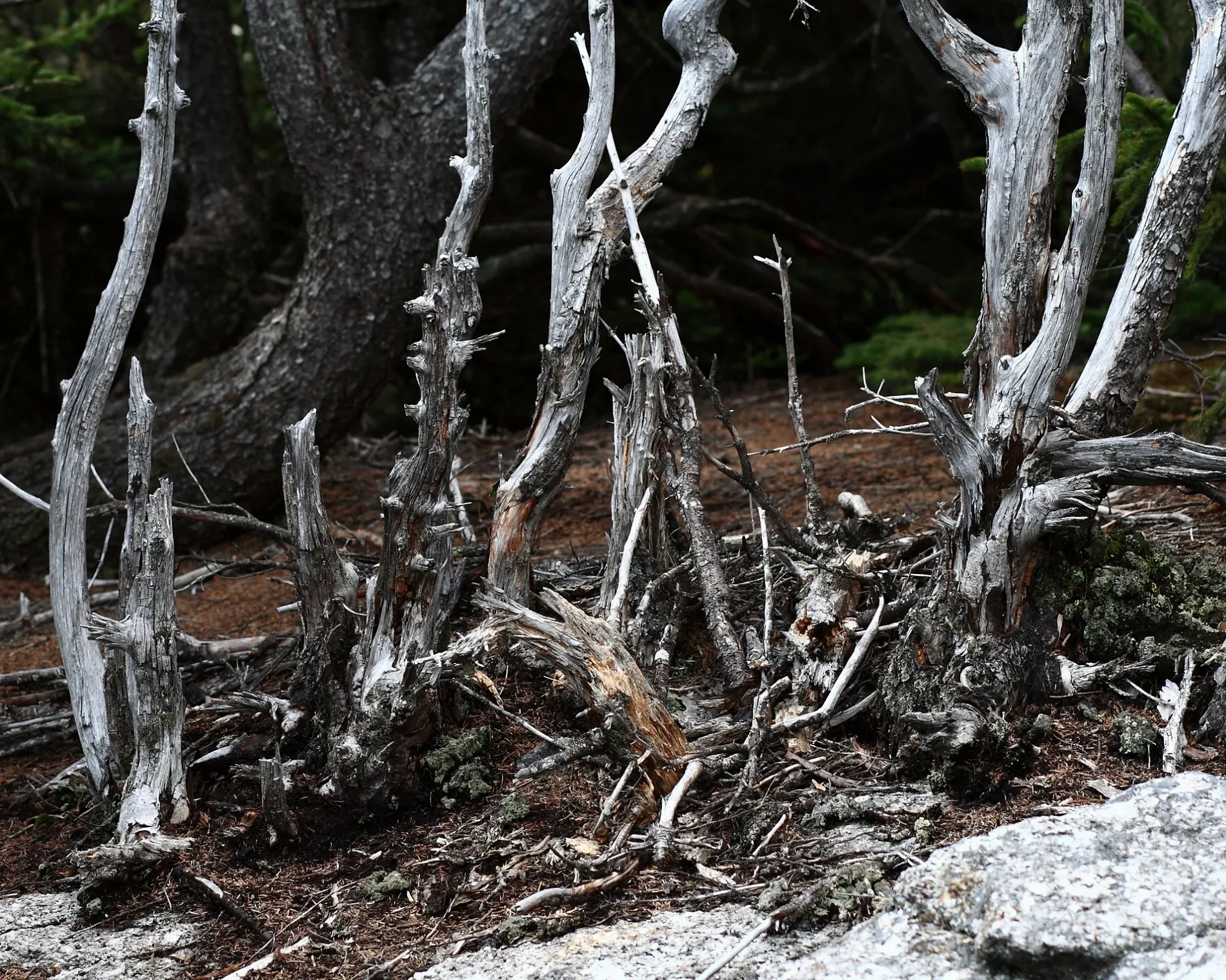
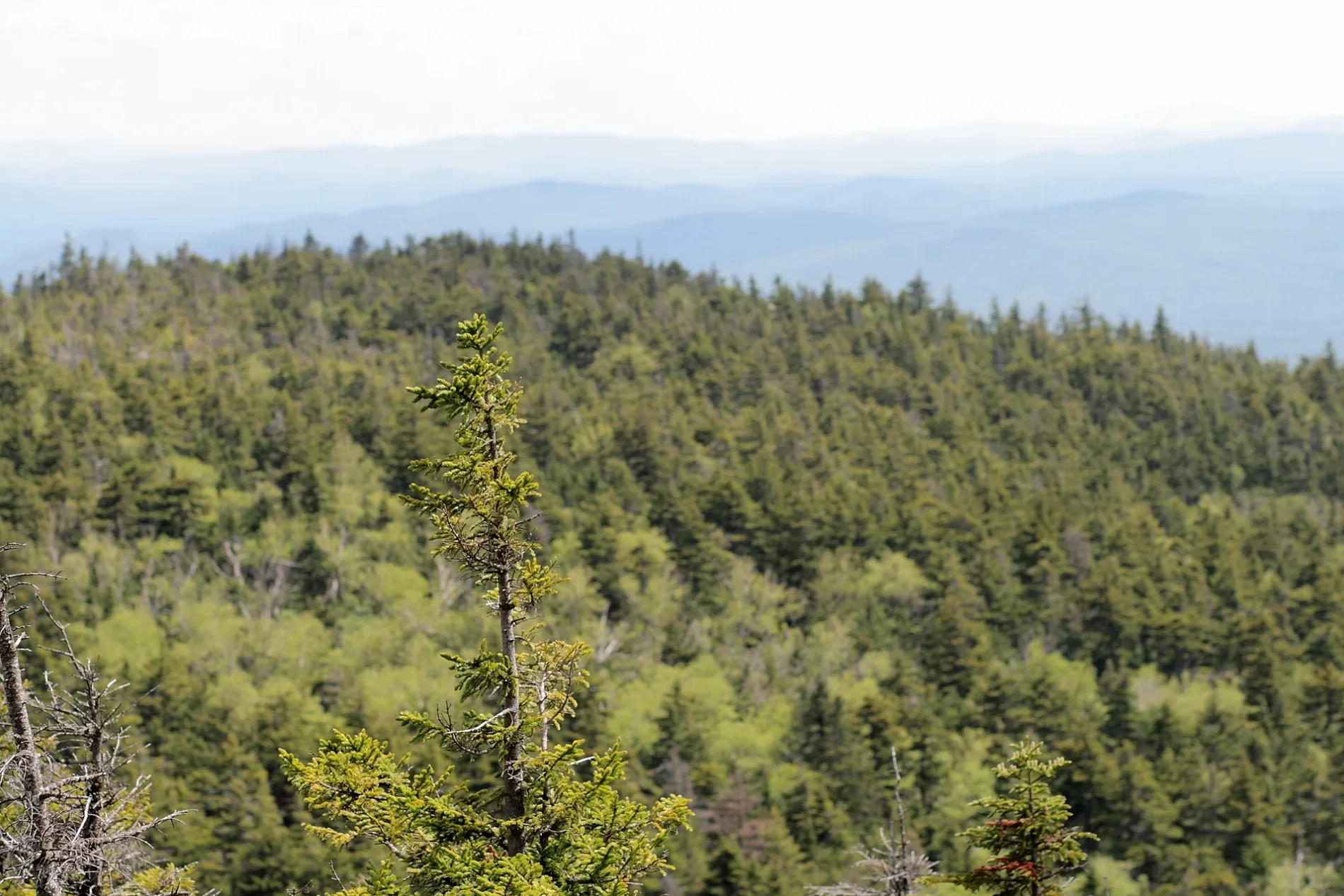
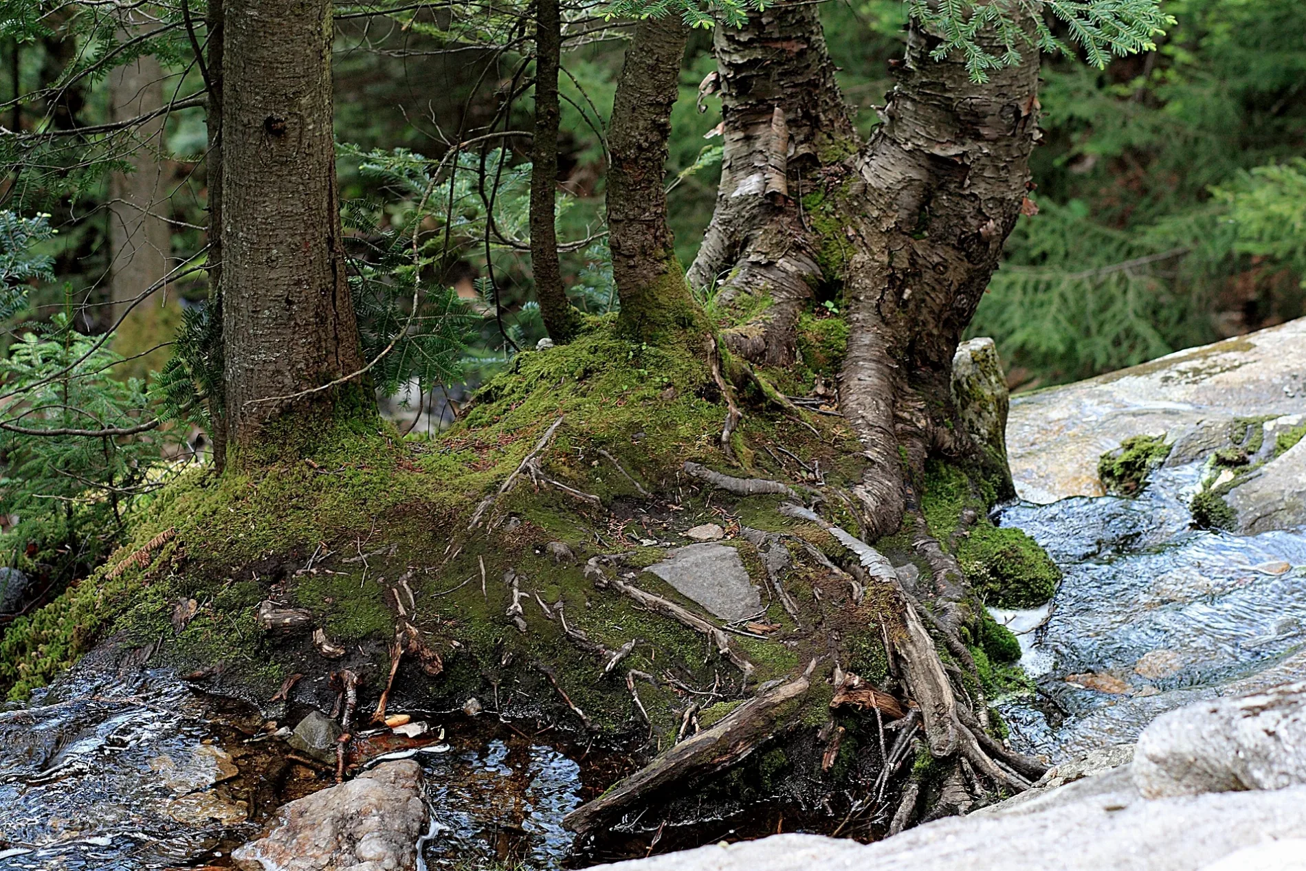
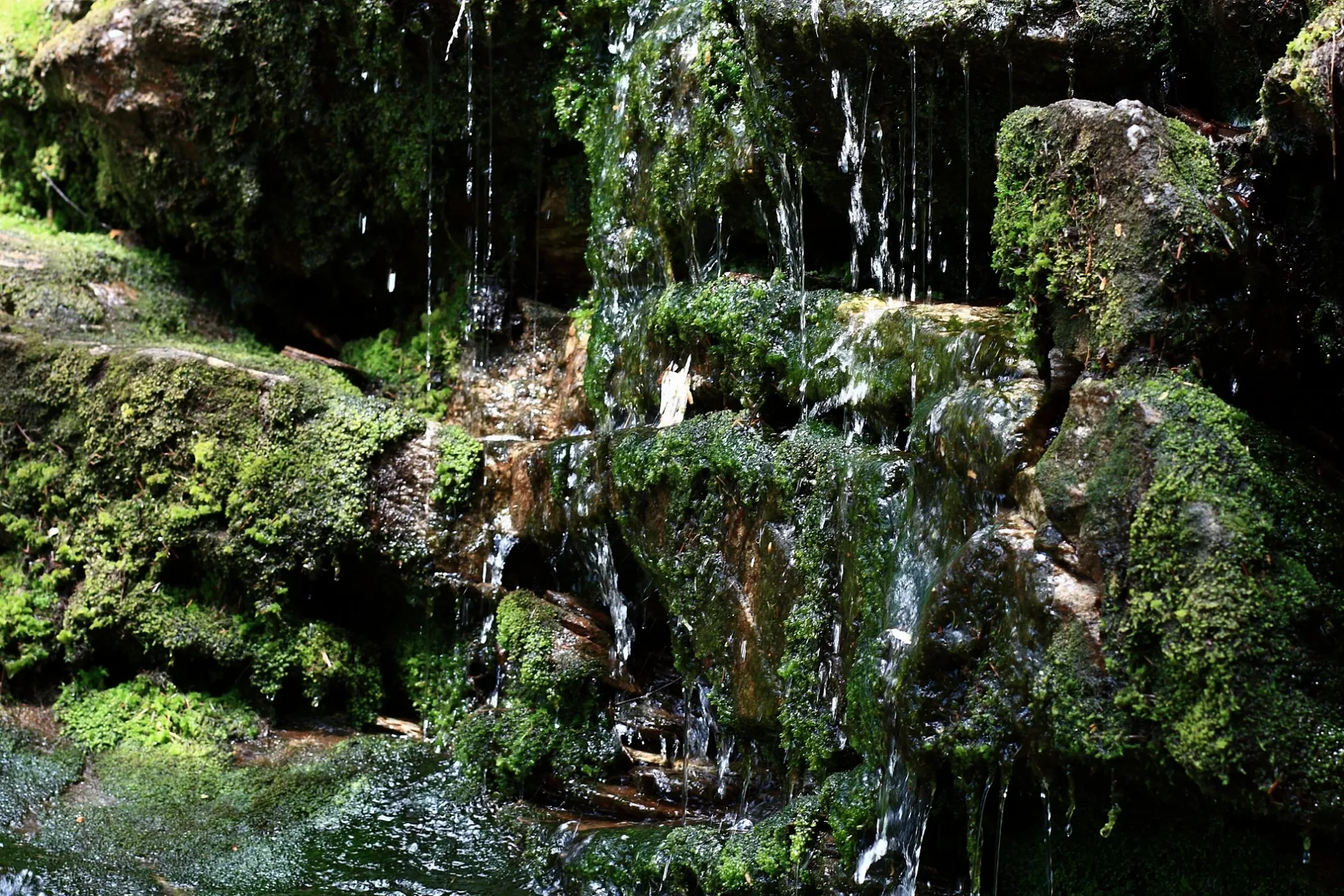
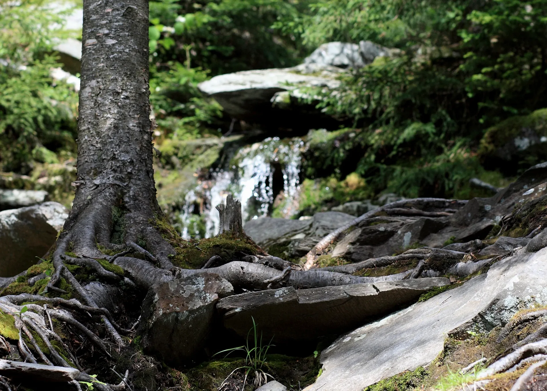

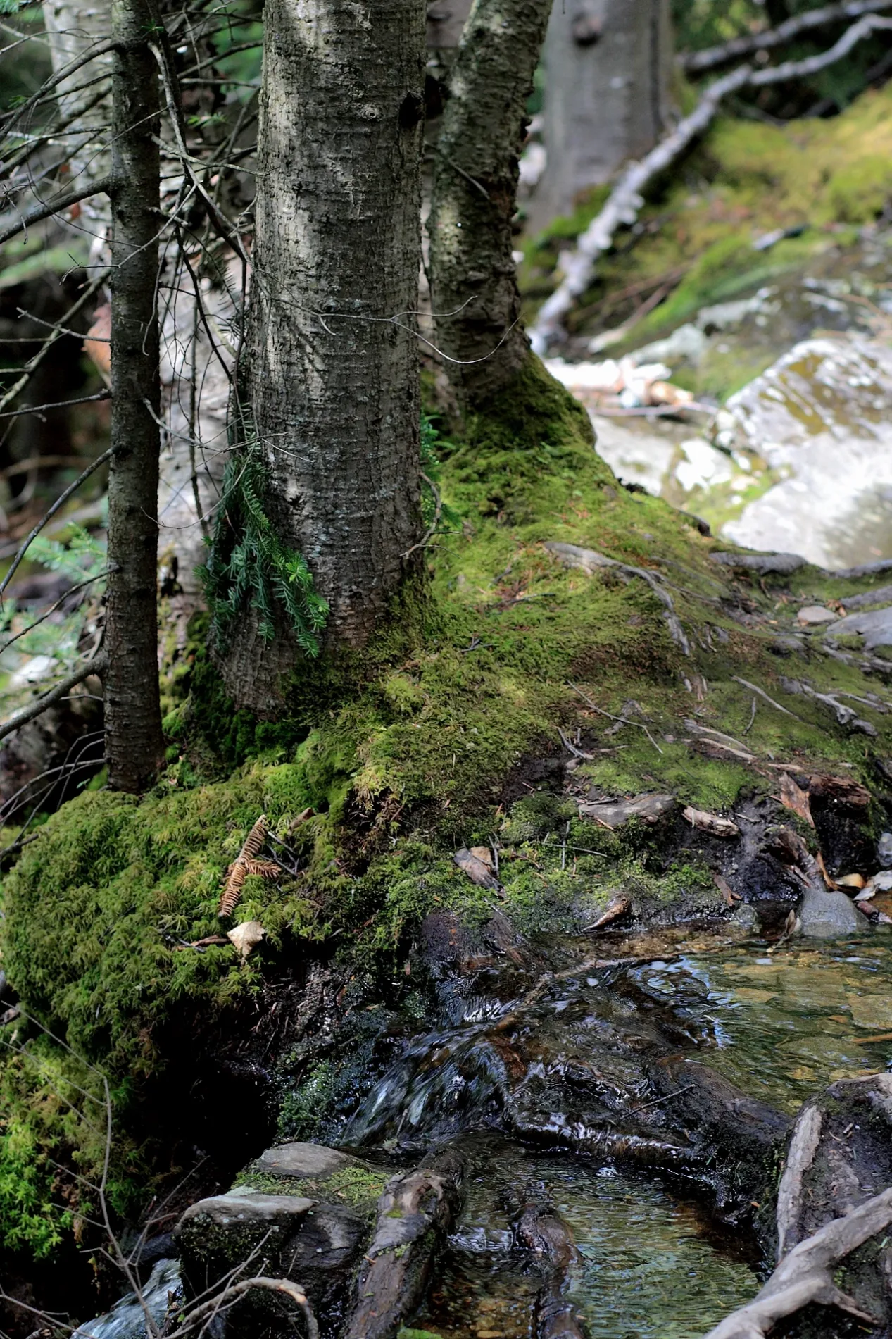
Streets in Orange, New Hampshire
Streets
US 4 (NH)
Northern Rail Trail
Peaslee Road
New Colony Road
Trail
Pike Road
Wheeler Road
Tug Mountain Road
wind farm
Town House Road
Cross Road
Eastman Road
South Ridge Trail
Mowglis Trail
Crag Shelter
West Ridge Trail
Clark Trail
Burnt Hill Road
Ranger Cabin Trail
Skyland Trail
Hanging Ledge Spur
Hurricane Gap TrailHi Cabin
Cardigan Mountain RoadCardigan Mountain State Park
Tuttle Hill Road
River Road
Williams
Kimball Hill Road
Mirror Lake HeightsCemeteries
Towers
Town halls
Waters
 Public transit map Orange Legend
| Railway | |
| Bus | |
| Streetcar |
 Bicycle map Orange Legend
| Bike path | |
| Bike lane on roadway | |
| Cycling allowed on bus lane | |
| Bicycle street | |
| Open to cyclists | |
| Open to cyclists, good path | |
| Cycling prohibited | |
| Cobblestone |
| Long-distance bike route | (depending on scale) | |
| Long-distance bike route |
 Pedestrian map Orange Legend
| Path |
| Long-distance hiking trail | (depending on scale) | |
| Long-distance hiking trail | ||
| Pedestrians prohibited |