
Hurricane Gap Trail in Orange, New Hampshire
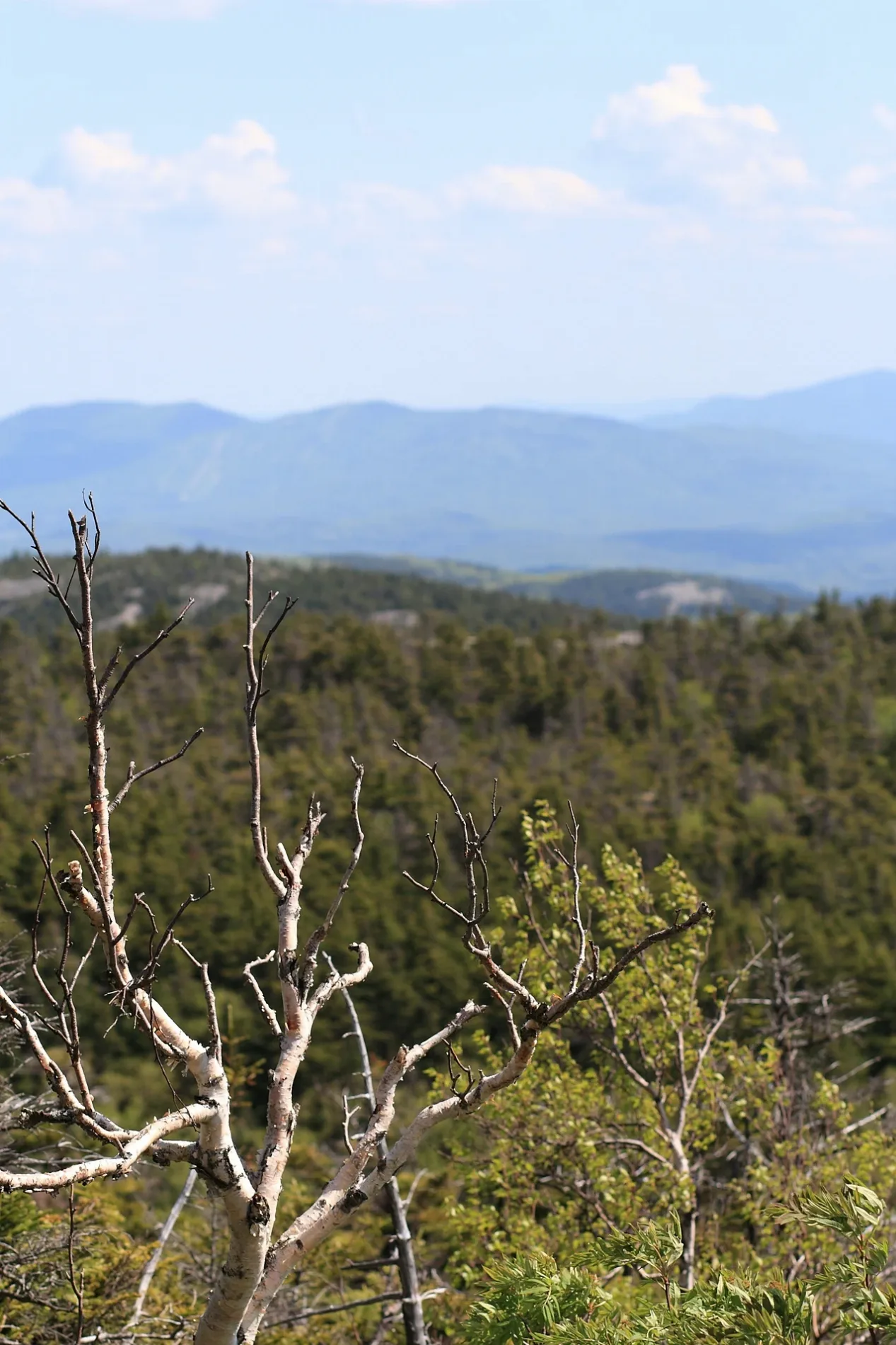
Hurricane Gap Trail in Orange is a path and runs in an east-west direction. Nearby there is a shelter.
- Road Type
- path
- Route
- east-west
Image
Shelters
Streets nearby
Clark Trail350 ft
Ranger Cabin Trail0.3 mi
Alexandria Ski Trail0.4 mi
South Ridge Trail0.4 mi
Cathedral Forest Trail0.6 mi
West Ridge Trail0.6 mi
Vistamont Trail0.7 mi
Ski Route0.8 mi
Manning Trail0.8 mi
Alleyway0.8 mi
Mowglis TrailCrag Shelter
1.0 mi
Kimball Ski Trail1.0 mi
Skyland Trail1.0 mi
Bailey Brook Ski Trail1.0 mi
Dukes Ski Trail1.1 mi
Holt Trail1.1 mi
Whitney Way1.4 mi
Woodland Trail1.4 mi
Cardigan Mountain RoadCardigan Mountain State Park
1.4 mi
Hanging Ledge Spur1.4 mi
Nature Trail1.5 mi
Clark Trail; Woodland Trail1.5 mi
Burnt Hill Road1.6 mi
Back 80 Trail1.6 mi
Back 80 Loop1.9 mi
Peaslee Road1.9 mi
New Colony Road2.1 mi
Clarks Trail2.1 mi
Shem Valley RoadCardigan Lodge, Red School
2.1 mi
Lower Manning Trail2.2 mi
Tug Mountain Road2.3 mi
River Road2.5 mi
Knowles Hill Road2.7 mi
Miller Road2.7 mi
Church Hill Road2.7 mi
Brock Hill Road2.8 mi
Millbrook Road2.9 mi
Cemeteries nearby
Orange Common Cemetery2.2 mi
Tucker Cemetery2.3 mi
Hostels nearby
Cardigan Lodge1.7 mi
Nature reserves nearby
Cardigan Reservation1.8 mi
Welton Falls State Forest2.2 mi
Streams nearby
Bailey Brook1.3 mi
Clark Brook1.4 mi
Brock Brook2.2 mi
Towers nearby
Cardigan Mountain Lookout0.3 mi
Town halls nearby
Orange Town House2.7 mi
Waters nearby
beaver pond1.7 mi
Orange Pond2.6 mi
Public transit map Orange Legend
| Railway | |
| Bus | |
| Streetcar |
Bicycle map Orange Legend
| Bike path | |
| Bike lane on roadway | |
| Cycling allowed on bus lane | |
| Bicycle street | |
| Open to cyclists | |
| Open to cyclists, good path | |
| Cycling prohibited | |
| Cobblestone |
| Long-distance bike route | (depending on scale) | |
| Long-distance bike route |
Pedestrian map Orange Legend
| Path |
| Long-distance hiking trail | (depending on scale) | |
| Long-distance hiking trail | ||
| Pedestrians prohibited |