
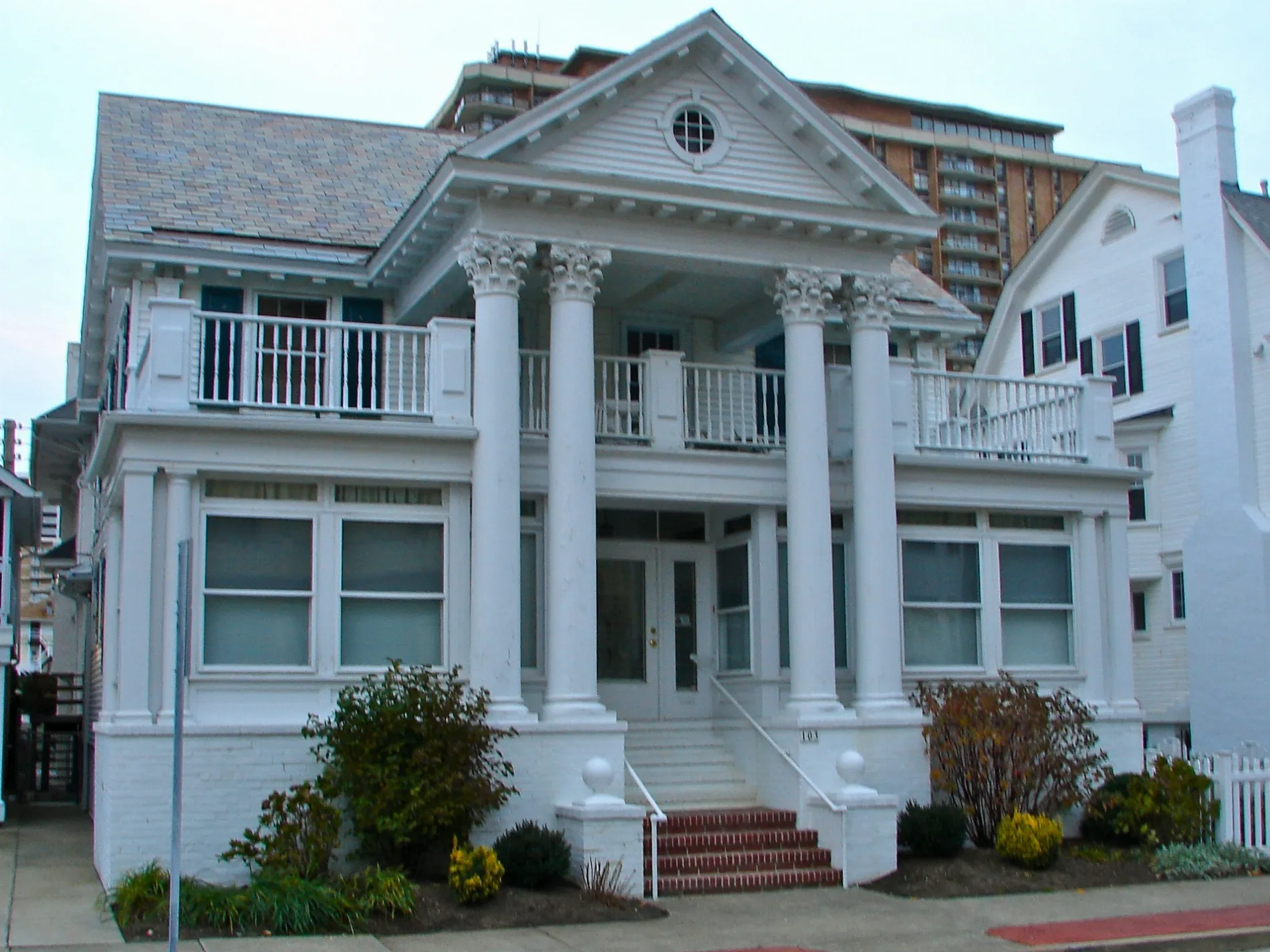
Weymouth Avenue in Ventnor City, New Jersey
Weymouth Avenue in Ventnor City is a residential street. It runs in a southeast-northwest direction starting from Winchester Avenue and crosses Ventnor Avenue and Atlantic Avenue and ends at Ventnor City Boardwalk. Weymouth Avenue is also known as South Weymouth Avenue. Nearby there is a pub. Weymouth Avenue also exists in Egg Harbor Township and Hamilton Township.
- Alternate Name
- North Weymouth Avenue
- Road Type
- residential street
- Route
- southeast-northwest
Image
Pubs
Streets nearby
Winchester Avenue250 ft
Frankfort Avenue350 ft
North Hillside Avenue400 ft
Little Rock Avenue400 ft
Victoria AvenueAnita Metzger Memorial School
400 ft
Nashville Avenue0.1 mi
Surrey Avenue0.1 mi
Surrey Place0.1 mi
Oakland Avenue0.1 mi
Hillside Avenue0.2 mi
Austin Avenue0.2 mi
Suffolk Avenue0.2 mi
Amherst Avenue0.2 mi
Marion Avenue0.2 mi
Atlantic AvenueThe Healthy Hippo, Saint James Elementary School, Atlantic County Library - Ventnor Branch
0.2 mi
Edgewater Avenue0.2 mi
Somerset Avenue0.2 mi
Baton Rouge Avenue0.2 mi
Callender Avenue0.2 mi
Vassar Square0.3 mi
Jackson Avenue0.3 mi
Theresa Place0.3 mi
Newton Avenue0.3 mi
Dudley Avenue0.3 mi
Monmouth AvenueRed Room Cafe
0.4 mi
North Montgomery Avenue0.4 mi
North Dudley Avenue0.4 mi
North Little Rock Avenue0.4 mi
Dorset AvenueVentnor City, Ventnor Heights, Custard's Last Stand, Dorset Hardware, CVS Pharmacy
0.4 mi
Oxford Avenue0.4 mi
Calvert Avenue0.4 mi
Balfour Avenue0.4 mi
Tallahassee Avenue0.4 mi
Ventnor AvenueWawa
0.4 mi
North Derby Avenue0.4 mi
Fremont Avenue0.5 mi
Amenities nearby
Ninja250 ft
Beauty salons nearby
Moon's Nails250 ft
Buildings nearby
Ventnor City Beach Patrol0.3 mi
Chocolate shops nearby
Jagielky's400 ft
Clothing stores nearby
Jules of Margate300 ft
Convenience stores nearby
Nashville Market500 ft
Liquor stores nearby
North Beach Liquors450 ft
Movie theaters nearby
Ventnor Square Theater300 ft
Pet stores nearby
Pet-Point300 ft
Playgrounds nearby
CSURE Children's Park0.3 mi
Recreation grounds nearby
Ventnor Park0.3 mi
Tidal channels nearby
Inside Thorofare0.2 mi
Other nearby
Lower Chelsea0.3 mi
Public transit map Ventnor City Legend
| Railway | |
| Bus | |
| Streetcar |
Bicycle map Ventnor City Legend
| Bike path | |
| Bike lane on roadway | |
| Cycling allowed on bus lane | |
| Bicycle street | |
| Open to cyclists | |
| Open to cyclists, good path | |
| Cycling prohibited | |
| Cobblestone |
| Long-distance bike route | (depending on scale) | |
| Long-distance bike route |
Pedestrian map Ventnor City Legend
| Path |
| Long-distance hiking trail | (depending on scale) | |
| Long-distance hiking trail | ||
| Pedestrians prohibited |