
Mount Calvary Cemetery in Albuquerque
Mount Calvary Cemetery in Albuquerque is a cemetery (Catholic Cemetery Association), Edith Boulevard Northeast 1600 (87102). Mount Calvary Cemetery is also known as Santa Barbara Cemetery.
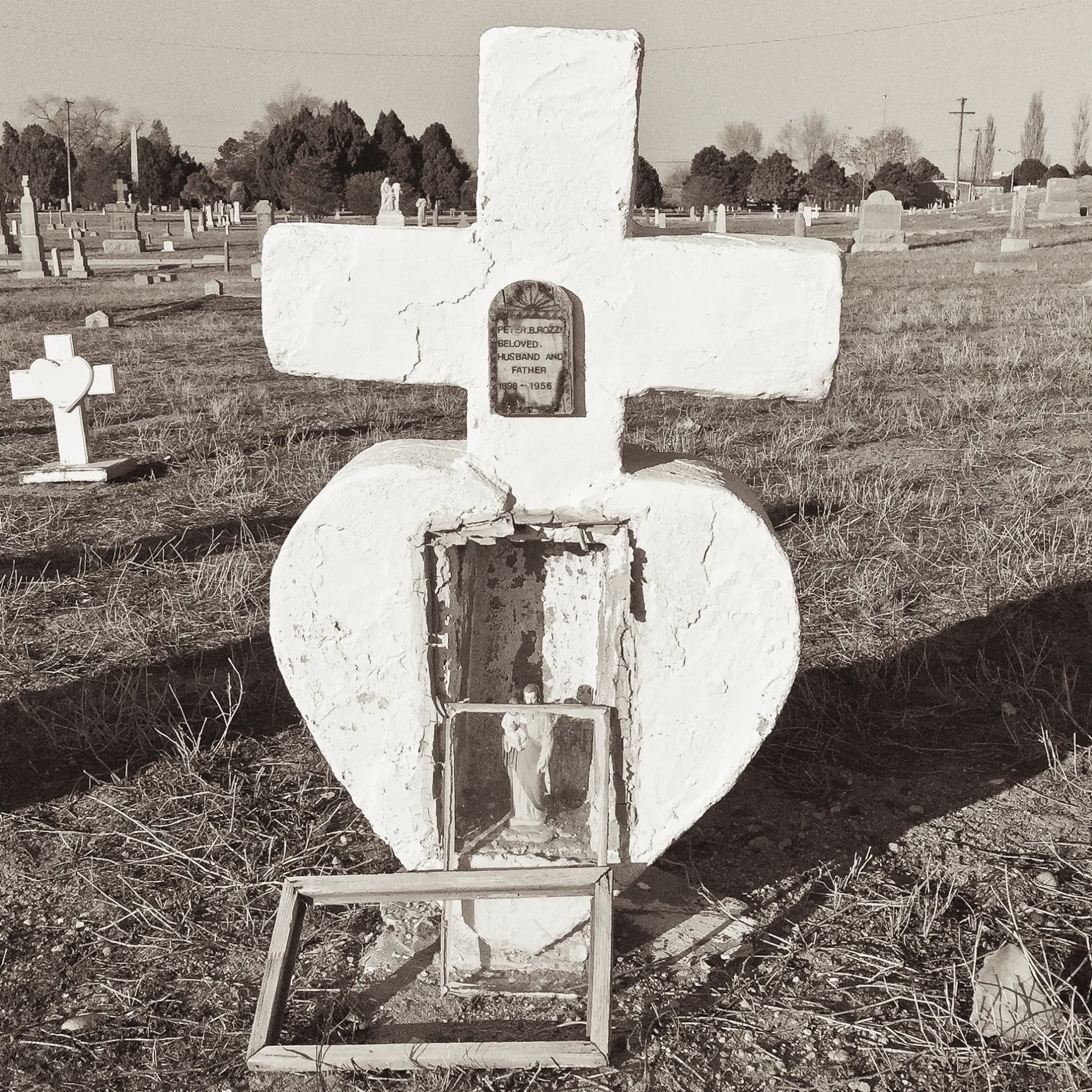
- House Number
- 1600
- Street
- Edith Boulevard Northeast
- Operator
- Catholic Cemetery Association
- Alternate Name
- Santa Barbara Cemetery
- Postal Code
- 87102
- Land Use
- cemetery
Clinics
Schools
Massage therapy clinics
Pubs
Funeral homes
Bus stops
Dairy stores
Theaters
Tourist information centers
Doctor's offices
Cafes
Artworks
Places of worship
Post offices
Auto parts stores
Streets nearby
Locust Place Northeast50 ft
Odelia Road Northeast400 ft
Cordero Avenue Northeast0.1 mi
Indian School Road NortheastEmbudo Trailhead, Redbox, Mobile Screen and Glass, Steps Ahead Learning Center, Circle K, Netherwood Park Church of Christ, St. Paul's Lutheran Church, The Melting Pot, The North Face, Paul Mitchell, the School, Starbucks, Carhartt, B'nai Israel
0.2 mi
Crespin Avenue Northeast0.2 mi
San Ignacio Court Northeast0.2 mi
Sprunk Road Northeast0.3 mi
Camino de Salud NortheastUNM Cancer Center
0.3 mi
Hannett Avenue NortheastPiatanzi, Eubank Animal Clinic, Visiting Angels, Guardian
0.3 mi
Walter Street Northeast0.3 mi
Franciscan Street Northeast0.3 mi
Martinez Drive Northeast0.3 mi
Aspen Avenue NortheastGirard Church, Oral and Maxillofacial Surgery, Our Lady of Perpetual Help
0.3 mi
Stone Street Northeast0.3 mi
Gomez Avenue Northeast0.3 mi
Arno Street NortheastFunky Olive Design Company
0.4 mi
Mountain Road NortheastEarly College Acadamy, Menaul @ Woodward, 5 STAR day spa massage, Ariana Halal Market & Cafe, Best Choice Glass & Door, Liberty Gems & Minerals, Longhair Records, Pizza Hut, Domino's, Valvoline, Menaul @ Broadway
0.4 mi
Kinley Avenue Northeast0.4 mi
High Street NortheastMountain Top Tees
0.4 mi
Edith Boulevard NortheastExtra Space Storage
0.4 mi
Mc Knight Avenue Northeast0.4 mi
Commercial Street Northeast0.4 mi
Freedom Way0.5 mi
East Drive Northeast0.5 mi
Pan American FreewayEl Paso–Los Angeles Limousine Express, 225, Enterprise Bank and Trust
0.5 mi
Rose Drive Northeast0.5 mi
Tulip Drive Northeast0.5 mi
Coronado FreewayThe Daily Grind, Los Pinos Fly & Tackle Shop Shop, Dollar Tree, Walmart Neighborhood Market, Old Navy, Under 25 lbs, Over 25 Lbs, A-1 Self Storage, Albuquerque
0.5 mi
West Frontage Road0.5 mi
Euclid Northeast Avenue0.5 mi
Floral Drive Northeast0.6 mi
Buildings nearby
Leasing Office0.1 mi
Clubhouse0.2 mi
New Mexico Donor Services0.4 mi
AGC New Mexico Career & Economic Center0.4 mi
Clinics nearby
Dialysis Clinic0.4 mi
Commercial buildings nearby
Realtor Building0.5 mi
Community centers nearby
Santa Barbara Martineztown Multigenerational Center0.2 mi
Odd Fellows Hall0.3 mi
Convenience stores nearby
Circle K0.4 mi
Doctor's offices nearby
Albuquerque Center for Rheumatology0.4 mi
Industrial areas nearby
CABQ Street Maintenance Division Satellite 20.4 mi
Parks nearby
Vietnam Veterans Memorial Park550 ft
Martineztown-Santa Barbara Park0.2 mi
Places of worship nearby
San Ignacio Catholic Church0.3 mi
Residential areas nearby
Peaks at Sandia View Apartments0.3 mi
Union 505 Apartments0.3 mi
Social facilities nearby
Odelia0.3 mi
Sports fields nearby
Albuquerque High School Soccer Field0.2 mi
| Located in | Albuquerque |
|---|---|
| Country | United States |
Public transit map Albuquerque Legend
| Railway | |
| Bus | |
| Streetcar |
Bicycle map Albuquerque Legend
| Bike path | |
| Bike lane on roadway | |
| Cycling allowed on bus lane | |
| Bicycle street | |
| Open to cyclists | |
| Open to cyclists, good path | |
| Cycling prohibited | |
| Cobblestone |
| Long-distance bike route | (depending on scale) | |
| Long-distance bike route |
Pedestrian map Albuquerque Legend
| Path |
| Long-distance hiking trail | (depending on scale) | |
| Long-distance hiking trail | ||
| Pedestrians prohibited |