
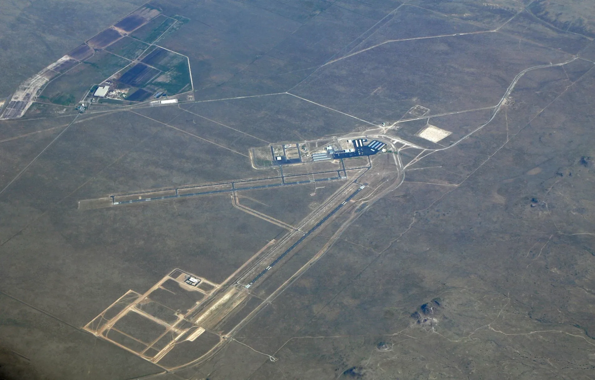
Double Eagle II Airport in Albuquerque, NM 87120
Double Eagle II Airport in Albuquerque, NM 87120 (Bernalillo County) is an airfield (ICAO: KAEG), Atrisco Vista Boulevard Northwest 7401 (87120). Double Eagle II Airport is also known as KAEG. Ⓦ.
- House Number
- 7401
- Postal Code
- 87120
- Street
- Atrisco Vista Boulevard Northwest
Image
Streets nearby
Paseo del Volcan Northwest0.2 mi
Atrisco Vista Boulevard Northwest0.3 mi
Paseo del Volcan0.3 mi
Double Eagle Airport Road Northwest0.6 mi
Utilty Access Road1.3 mi
Aerospace Parkway Road Northwest1.8 mi
Jim McDowell Road1.9 mi
Petroglyph National MonumentAtrisco Vista Trailhead
2.0 mi
Jim McDowell Road Northwest2.1 mi
Paseo del Norte NorthwestRedbox
2.2 mi
Shooting Range Park Road Northwest2.4 mi
Moqui Street2.6 mi
Moqui Street Northwest2.6 mi
Vista Dibujo Road2.6 mi
Piedra Dubujo2.7 mi
Villa Real Road2.7 mi
Scenic Drive2.7 mi
Vista Bosquejo Road2.7 mi
Quiviria Drive Northwest2.8 mi
Proposed Highway Corridor2.9 mi
Retablo Road Northwest2.9 mi
Manresa Drive Northwest2.9 mi
Nueva Pierda Street Northwest2.9 mi
Espaseo Verde Road Northwest2.9 mi
Picos Oeste Street Northwest3.0 mi
Tortosa Drive Northwest3.0 mi
Molas Road Northwest3.0 mi
Artworks nearby
Compass Rose0.7 mi
Buildings nearby
BIA Facility400 ft
FBO Office (KAEG)0.5 mi
Airport Administration & Maintenance Building0.5 mi
Electrical Vault0.5 mi
Covered areas nearby
Shade Cover0.1 mi
Hangars nearby
A400 ft
B500 ft
C0.1 mi
D0.1 mi
E0.2 mi
F0.2 mi
Bode Aviation0.3 mi
West Mesa Aviation0.4 mi
Landfills nearby
Soils Amendment Facility2.4 mi
Nature reserves nearby
Paseo de la Mesa Open Space2.4 mi
Police stations nearby
Sgt. Andrew F. Tingwall Aviation Facility0.7 mi
Residential areas nearby
Montecito Vistas Subdivision2.8 mi
School buildings nearby
Southwest Aeronautics, Mathematics and Science Academy1.7 mi
Social facilities nearby
Westside Emergency Housing Center1.5 mi
Streams nearby
Boca Negra Arroyo2.0 mi
Towers nearby
Double Eagle II Tower0.5 mi
| Elevation | 5837 |
|---|---|
| Located in | New Mexico |
| Country | United States |
 Public transit map Bernalillo County Legend
| Railway | |
| Bus | |
| Streetcar |
 Bicycle map Bernalillo County Legend
| Bike path | |
| Bike lane on roadway | |
| Cycling allowed on bus lane | |
| Bicycle street | |
| Open to cyclists | |
| Open to cyclists, good path | |
| Cycling prohibited | |
| Cobblestone |
| Long-distance bike route | (depending on scale) | |
| Long-distance bike route |
 Pedestrian map Bernalillo County Legend
| Path |
| Long-distance hiking trail | (depending on scale) | |
| Long-distance hiking trail | ||
| Pedestrians prohibited |