
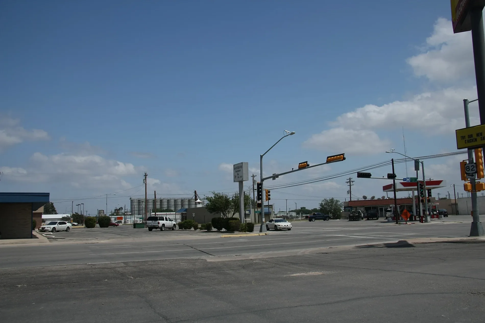
South Love Street in Lovington, New Mexico
South Love Street in Lovington is a residential street. It runs in a north-south direction starting from North Love Street and crosses East Central Avenue, East Avenue A, East Avenue B, East Avenue C, East Avenue D, East Avenue E, East Avenue F, East Avenue G, East Avenue H, East Avenue I and East Avenue J. It ends in a cul-de-sac. Nearby there is a museum.
- Road Type
- local road
- Route
- north-south
Image
Museums
Streets nearby
East Avenue CDomino's
450 ft
East Avenue E450 ft
South East Street0.1 mi
East Avenue B0.1 mi
East Avenue F0.1 mi
South Main AvenueAlon
0.2 mi
East Avenue A0.2 mi
East Avenue G0.2 mi
West Avenue E0.3 mi
East Avenue H0.3 mi
West Avenue F0.3 mi
South 3rd StreetHillcrest Baptist Church
0.3 mi
West Avenue C0.3 mi
West Avenue GMighty Wash
0.4 mi
East Avenue I0.4 mi
West Avenue I0.4 mi
West Avenue BTrinity Baptist Church
0.4 mi
East Avenue J0.4 mi
South 4th StreetRevolution Church of God
0.4 mi
South 1st StreetChurch of the Nazarene
0.4 mi
South 5th Street0.5 mi
West Avenue JLV Nails, Tobacco & Vape, Cricket Wireless
0.5 mi
Auto parts stores nearby
NAPA Auto Parts0.3 mi
Auto repair shops nearby
Lea County Collision Center0.2 mi
Galvan's Auto & Truck Electric0.4 mi
Buildings nearby
Haarmeyer Electric500 ft
Lovington Leader0.2 mi
Rafter Cross Realty0.3 mi
CJ Wireless0.4 mi
Clothing stores nearby
Brito's Western Wear0.3 mi
Community centers nearby
American Legion Post 680.1 mi
Convenience stores nearby
Allsup's250 ft
Courthouses nearby
Lea County Magistrate Courthouse0.2 mi
Dry cleaners nearby
Klean Machine0.4 mi
Fast food restaurants nearby
McDonald's0.1 mi
Pearl's Mexican Cafe0.1 mi
Sonic0.2 mi
Paleteria El Manantial0.2 mi
Ole Jax0.3 mi
Fire stations nearby
Lovington Fire Department0.2 mi
Furniture stores nearby
Aaron's0.1 mi
Pharmacies nearby
Michael's Prescription Corner0.3 mi
Post offices nearby
Lovington Post Office300 ft
Restaurants nearby
Pizza Hut0.1 mi
Panda Buffet0.1 mi
Jimenez Rancho Grande0.2 mi
Social facilities nearby
Bill McKibben Senior Center0.2 mi
Town halls nearby
Lovington City Hall0.2 mi
Variety stores nearby
Family Dollar0.3 mi
Public transit map Lovington Legend
| Railway | |
| Bus | |
| Streetcar |
Bicycle map Lovington Legend
| Bike path | |
| Bike lane on roadway | |
| Cycling allowed on bus lane | |
| Bicycle street | |
| Open to cyclists | |
| Open to cyclists, good path | |
| Cycling prohibited | |
| Cobblestone |
| Long-distance bike route | (depending on scale) | |
| Long-distance bike route |
Pedestrian map Lovington Legend
| Path |
| Long-distance hiking trail | (depending on scale) | |
| Long-distance hiking trail | ||
| Pedestrians prohibited |