
East Main Street in Farmington, New Mexico
East Main Street in Farmington is a three-lane, asphalted secondary road and it runs in an east-west direction and crosses South Commercial Avenue and North Wall Avenue. This street is part of the highway "516". Nearby you can find among others 5 fast food restaurants, 2 restaurants, an auto repair shop and a gas station. East Main Street also exists in Eddy County, Guadalupe County, Lea County and Torrance County.
- Road Type
- secondary road
- Lanes
- 2
- Speed Limit
- 20 mph
- Route
- east-west
Image
Restaurants
Cafes
Doctor's offices
Furniture stores
Fast food restaurants
Pastry shops
Post offices
Gas stations
Auto repair shops
Convenience stores
Ice cream shops
Motels
Streets nearby
North Wall Avenue250 ft
North Orchard AvenueFarmington
350 ft
South Commercial Avenue400 ft
West Main StreetThe Chili Pod, Wendy's, Safeway
450 ft
South Miller Avenue450 ft
East Arrington Street500 ft
East Broadway AvenueSpeedway
550 ft
Hill Street0.1 mi
West Arrington Street0.1 mi
North Allen Avenue0.1 mi
East Animas Street0.1 mi
South Allen Avenue0.1 mi
West Broadway StreetThomas Jefferson Arrington House Historic Site, Speedway, Shell, Quick Mart
0.1 mi
West Animas Street0.1 mi
South Court Avenue0.2 mi
East Cedar Street0.2 mi
South Orchard Avenue0.2 mi
East La Plata Street0.2 mi
South Behrend Avenue0.2 mi
North Court Avenue0.2 mi
West La Plata Street0.2 mi
Shiprock Street0.2 mi
Manana Place0.2 mi
North Behrend Avenue0.2 mi
East Elm Street0.2 mi
West Elm Street0.3 mi
East Maple Street0.3 mi
Shops nearby
Fifth Generation Trading Co0.2 mi
Arts centers nearby
Farmington Indian Center0.2 mi
Buildings nearby
Navajo Trading Co200 ft
Car dealerships nearby
Al's Trailer Sales0.2 mi
Clinics nearby
Health Department0.2 mi
Commercial buildings nearby
Sherwin-Williams200 ft
Community centers nearby
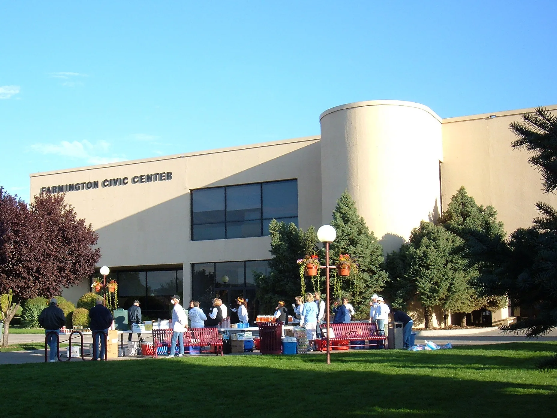
Farmington Civic Center0.2 mi
Courthouses nearby
11th Judicial District Attorney's Office of New Mexico - Div. 10.2 mi
Ditches nearby
North Farmington Ditch0.1 mi
Fast food restaurants nearby
Blake's Lotaburger0.2 mi
Galleries nearby
Three Rivers Art Center (TRAC)0.1 mi
Motels nearby
Economy Inn Farmington0.1 mi
Museums nearby
E3 Children's Museum & Science Center0.2 mi
Museum Of Navajo Art & Culture0.2 mi
Parks nearby
Orchard Plaza Park350 ft
Farmington Intertribal Indian Organization0.2 mi
Places of worship nearby
San Juan Unitarian Universalist Fellowship0.2 mi
Residential areas nearby
PIC Apartments0.2 mi
Restaurants nearby
Olive Tree Restaurant300 ft
Social facilities nearby
Income Support Division0.2 mi
Front Line Mission0.2 mi
Echo Food Bank0.2 mi
Public transit map Farmington Legend
| Railway | |
| Bus | |
| Streetcar |
Bicycle map Farmington Legend
| Bike path | |
| Bike lane on roadway | |
| Cycling allowed on bus lane | |
| Bicycle street | |
| Open to cyclists | |
| Open to cyclists, good path | |
| Cycling prohibited | |
| Cobblestone |
| Long-distance bike route | (depending on scale) | |
| Long-distance bike route |
Pedestrian map Farmington Legend
| Path |
| Long-distance hiking trail | (depending on scale) | |
| Long-distance hiking trail | ||
| Pedestrians prohibited |