
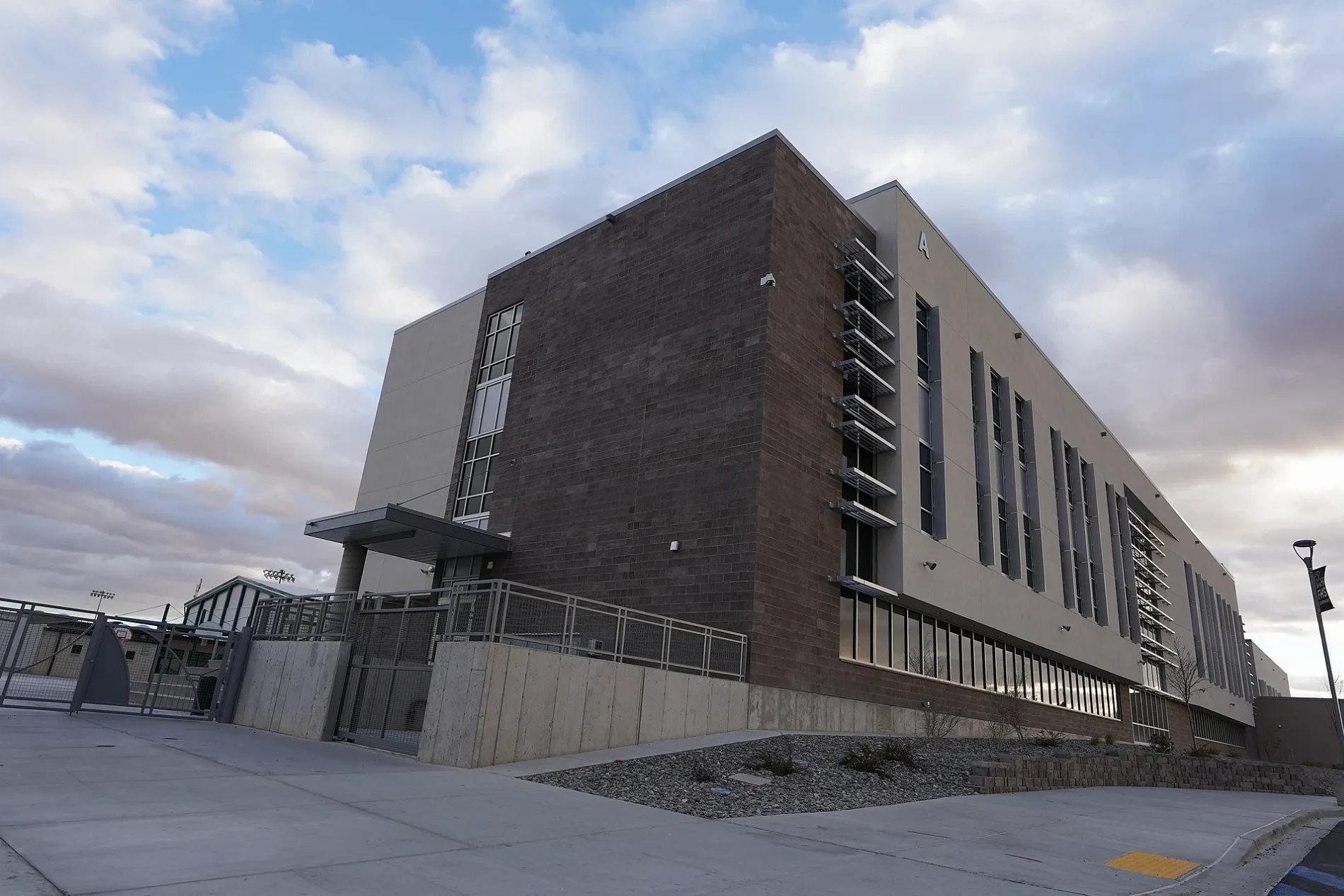
Ladera Drive in Farmington, New Mexico
Ladera Drive in Farmington is a residential street. It runs in a northeast-southwest direction starting from Crescent Avenue and crosses North Sunset Avenue and Sunset Avenue and ends at 25th Street. Ladera Drive also exists in Valencia County.
- Road Type
- residential street
- Route
- northeast-southwest
Image
Schools
Dentist offices
Places of worship
Restaurants
Tire dealers
Gas stations
Car washes
Clinics
Motels
Car dealerships
Convenience stores
Banks
Pharmacies
Police stations
Furniture stores
Supermarkets
Streets nearby
Northwood Drive350 ft
25th Street400 ft
North Sunset Avenue0.1 mi
Crescent Avenue0.1 mi
Sunset Avenue0.1 mi
East 30th StreetSpeedway, Speedy Wash, San Juan College 30th Street Education Center
0.2 mi
North Dustin Avenue0.2 mi
Northwood Circle0.2 mi
26th Street0.2 mi
West 27th Street0.2 mi
Ridgecrest Drive0.2 mi
East 28th Street0.2 mi
Sunset Place0.2 mi
Vista Circle0.3 mi
31st Street0.3 mi
West 31st Street0.3 mi
Pontiac Drive0.3 mi
Lynwood Drive0.3 mi
North Suntuoso Court0.3 mi
Western Avenue0.3 mi
East 20th StreetJimmy John's, Speedway, Little Caesars
0.3 mi
Summit Drive0.3 mi
Sunset Avenue Northwest0.3 mi
West 20th Street0.4 mi
Brookside Drive0.4 mi
Brookside Circle0.4 mi
McDonald Road0.4 mi
Parkland Circle0.4 mi
Iva Drive0.4 mi
North Orchard AvenueFarmington
0.5 mi
East 18th Street0.5 mi
East 17th Street0.5 mi
Buildings nearby
Coronado A0.2 mi
Coronado B0.2 mi
Coronado C0.2 mi
Coronado D0.3 mi
Cafes nearby
Starbucks0.5 mi
Fast food restaurants nearby
Subway0.4 mi
Schlotzsky's0.4 mi
DQ Grill & Chill0.4 mi
Parks nearby
Civitan Park0.4 mi
Places of worship nearby
The Church of Jesus Christ of Latter-day Saints0.1 mi
Community of Christ0.1 mi
Emmanuel Baptist Church0.4 mi
School buildings nearby
Farmington High School500 ft
Streams nearby
Butler Arroyo0.4 mi
Swimming pools nearby
Bisti Bay at Brookside Park0.5 mi
Variety stores nearby
Dollar General0.4 mi
Waters nearby
City Reservoir0.3 mi
Public transit map Farmington Legend
| Railway | |
| Bus | |
| Streetcar |
Bicycle map Farmington Legend
| Bike path | |
| Bike lane on roadway | |
| Cycling allowed on bus lane | |
| Bicycle street | |
| Open to cyclists | |
| Open to cyclists, good path | |
| Cycling prohibited | |
| Cobblestone |
| Long-distance bike route | (depending on scale) | |
| Long-distance bike route |
Pedestrian map Farmington Legend
| Path |
| Long-distance hiking trail | (depending on scale) | |
| Long-distance hiking trail | ||
| Pedestrians prohibited |