
North Lorena Avenue in Farmington, New Mexico
North Lorena Avenue in Farmington is a residential street. It runs in a north-south direction starting from West Ross Street and crosses West La Plata Street and ends at West Arrington Street.
- Road Type
- residential street
- Route
- north-south
Image
Hospitals
Schools
Attractions
Nursing homes
Furniture stores
Gas stations
Supermarkets
Police stations
Car dealerships
Convenience stores
Restaurants
Clinics
Motels
Streets nearby
West Arrington Street250 ft
North Auburn Avenue0.1 mi
North Schwartz Avenue0.2 mi
South Auburn Avenue0.2 mi
North Locke Avenue0.2 mi
West Ross Street0.2 mi
Brimhall Place0.2 mi
West Apache StreetSpeedway, West Apache mini storage
0.2 mi
South Locke Avenue0.2 mi
North Behrend Avenue0.2 mi
South Behrend Avenue0.3 mi
North Allen Avenue0.3 mi
West La Plata Street0.3 mi
South Allen Avenue0.3 mi
North Lincoln Avenue0.3 mi
West Main StreetThe Chili Pod, Wendy's, Safeway
0.4 mi
West Comanche Street0.4 mi
Circle Drive0.4 mi
Gladeview Drive0.4 mi
Taylor Drive0.4 mi
North Orchard AvenueFarmington
0.4 mi
East Apache Street0.4 mi
Paralee Drive0.5 mi
West Hopi Street0.5 mi
Shops nearby
Fifth Generation Trading Co0.3 mi
Community centers nearby
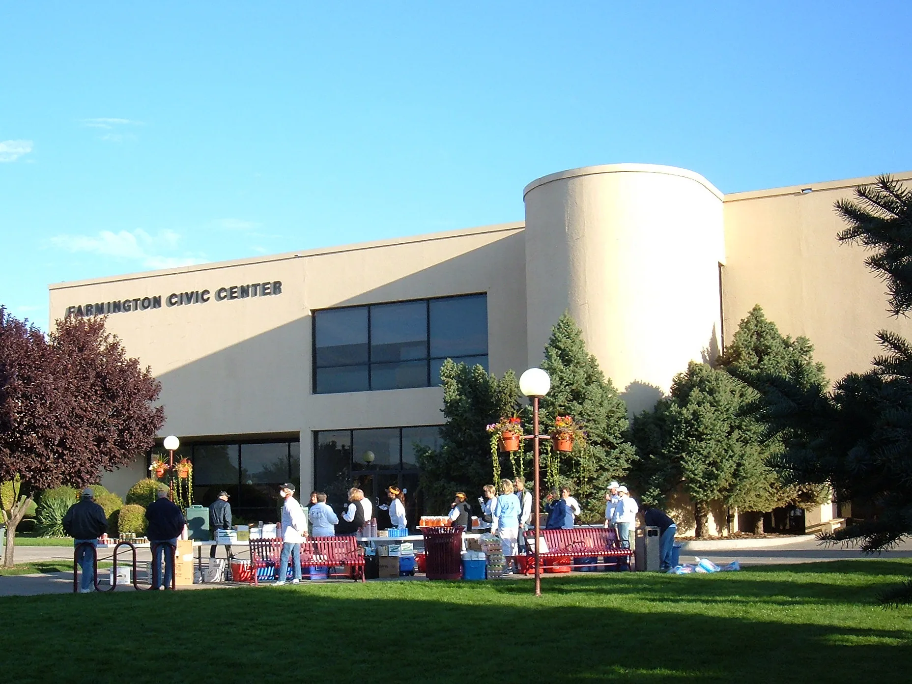
Farmington Civic Center0.3 mi
Ditches nearby
North Farmington Ditch0.2 mi
Fire stations nearby
Farmington Fire Department Station 1450 ft
Galleries nearby
Three Rivers Art Center (TRAC)0.3 mi
Museums nearby
Museum Of Navajo Art & Culture0.3 mi
E3 Children's Museum & Science Center0.4 mi
Parks nearby
U.S. West Park0.3 mi
Elmer F. Taylor Park of LDS0.4 mi
Places of worship nearby
Christ Church350 ft
First Baptist Church450 ft
Cope Memorial Chapel0.1 mi
First Indian Baptist Church0.2 mi
The Church of Jesus Christ of Latter-day Saints0.3 mi
San Juan Unitarian Universalist Fellowship0.3 mi
Sacred Heart Catholic Church0.4 mi
Saint Johns Episcopal Church0.4 mi
Residential areas nearby
PIC Apartments0.3 mi
Restaurants nearby
Mikasa Japanese0.2 mi
Rivers nearby
Farmington Glade0.4 mi
Schools nearby
Apache Elementary School0.3 mi
Sacred Heart Catholic School0.3 mi
Social facilities nearby
New Mexico Workforce Connection Center200 ft
Big Brothers Big Sisters of San Juan County0.2 mi
Front Line Mission0.2 mi
Public transit map Farmington Legend
| Railway | |
| Bus | |
| Streetcar |
Bicycle map Farmington Legend
| Bike path | |
| Bike lane on roadway | |
| Cycling allowed on bus lane | |
| Bicycle street | |
| Open to cyclists | |
| Open to cyclists, good path | |
| Cycling prohibited | |
| Cobblestone |
| Long-distance bike route | (depending on scale) | |
| Long-distance bike route |
Pedestrian map Farmington Legend
| Path |
| Long-distance hiking trail | (depending on scale) | |
| Long-distance hiking trail | ||
| Pedestrians prohibited |