
Achilles Street in Rochester, New York
Achilles Street in Monroe County is a residential street and it runs as a one-way street in a West direction starting from Stillson Street and ends at Liberty Pole Way.
- Road Type
- residential street
- Route
- east-west
Image
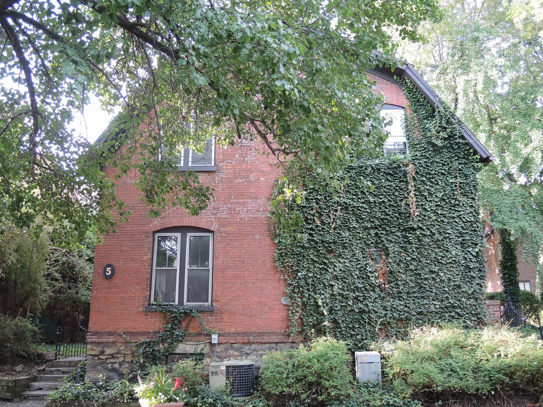
Streets nearby
Stillson Street300 ft
East Main StreetMain & Aqueduct, Peach Blossom, Squatcho's, Main & State, Morton's The Steakhouse, Starbucks, Rochester Auto Museum, Main & Scio, Canandaigua National Bank & Trust, Convention District, La Bola, The Mercantile on Main, Lifeline Auto/Tires, Eastman Gardens, DTLR, Main & Franklin, Main & Birch, Main & Union, Main & Minges, Main & Opp Minges, Main & 1199 Main, Midtown District, Red Zone Pizza, Seasons' Noodle, RoCoCo Café, Frenchman Street, Family Dollar, Main & Pitkin, Hatch Recital Hall, Main & Gibbs, Main & Stillson, Aker Club, Main & Prince, Jim's on Main, Main & Alexander, Guys and Dolls, Joey's, Main & RTS, Main & Mustard, Main & Beechwood, Main & 1154 Main, East High School, Main & Ohio, Main & Illinois, Main & Durham, Main & Packard, Main & Winton, Main & Kansas, Main & Akron, Main & Wisconsin, Clownboy Coffee, Main & Arch, Main & Bowman, Main & Quincy, Main & Herkimer, Main & Barnum, East Main Street, EMMA - Business and Neighborhood Association, Main & Culver
300 ft
Liberty Pole PlazaThe Focus Theater
350 ft
Liberty Pole WayHarro East Ballroom
400 ft
Pleasant StreetSaint Josephs High School, World Wide News, Greyhound Stop
450 ft
Andrew Langston WayI ❤️ ROC
500 ft
Amity Alley0.1 mi
Euclid StreetAM:FM, Action for a Better Community
0.1 mi
North Chestnut StreetChestnut & Andrews, Chestnut & University, Chestnut & Main
0.1 mi
Cortland Street0.1 mi
Grove Street0.1 mi
Franklin Court0.1 mi
Chestnut StreetMinuteman Press
0.1 mi
Atlas Street0.1 mi
Gibbs StreetEastman School, Kodak Hall at Eastman Theatre, Sibley Music Library, Eastman Community Music School (Messinger Hall), Max of Eastman Place, Java's, Eastman Living Center
0.1 mi
Elm StreetBranca, food trucks, The Grove
0.2 mi
Franklin Street0.2 mi
Franklin Square0.2 mi
Lawn StreetChrist Church
0.2 mi
Dalton Place0.2 mi
Andrews StreetRochester Fire Dept. Headquarters, RFD Engine 17 / Rescue 11 / Hazmat 1 and 2, Andrews & Franklin, Andrews & Liberty Pole, House of Whacks
0.2 mi
University AvenueTavern58 at Gibbs, University & Union, The Factory Hairdressing, Animal Hospital of Rochester, University & Culver, University & Gleason Works, University & Oliver, Axe of Kindness Tattoo, Full Moon Vista Bike & Sport, REV BBQ, University & East Blvd, Creative WorkshopArt School, Gallery Store of the Memorial Art Gallery, University & Goodman, Oracle, MAG, Two Lines Up Excentric - Twelve Feet, Millennium Bench, Lover's Rainbow, Versus, Untitled, Dango, University & Prince, University & Strathallan, Joe Bean Coffee Roasters, Moo'd Burger Bar, University & Blossom, Craft Company No. 6, Image City Photography Gallery, Just Juice, Balance, Chubby & Firefighter, Big Pencil (Writers & Books), Pretty Apothecary, University & Atlantic, University & Merriman, University & Portsmouth, Staple Vintage, University & 1357 University, University & Rundel, University & Alexander
0.2 mi
Apartment buildings nearby
University Place Apartments100 ft
Buildings nearby
40 Franklin Street350 ft
Miller Center500 ft
One East Avenue500 ft
Messinger Hall0.1 mi
Alta Vista0.1 mi
RG&E Building0.2 mi
Commercial buildings nearby
Monroe County Savings Bank Building200 ft
Temple Building200 ft
Sibley Triangle Building300 ft
45 East Avenue500 ft
Democrat & Chronicle Media Group0.1 mi
Sibley Square0.1 mi
Windstream0.2 mi
Courthouses nearby
New York State Appellate Court500 ft
Hotels nearby
Hotel Cadillac0.2 mi
Richford Hotel0.2 mi
Office buildings nearby
Maximum Wireless0.2 mi
Parking lots nearby
St. Joseph Garage0.1 mi
Mortimer Street Garage0.2 mi
Parks nearby
Midtown Commons0.1 mi
Parcel 50.1 mi
Pleasant Street/ St. Joseph's Park0.1 mi
Schiller Park0.2 mi
Residential areas nearby
The Neisner at East End0.1 mi
Ruins nearby
St. Joseph's Church and Rectory0.2 mi
Theaters nearby
Eastman Theatre0.1 mi
Public transit map City of Rochester Legend
| Railway | |
| Bus | |
| Streetcar |
Bicycle map City of Rochester Legend
| Bike path | |
| Bike lane on roadway | |
| Cycling allowed on bus lane | |
| Bicycle street | |
| Open to cyclists | |
| Open to cyclists, good path | |
| Cycling prohibited | |
| Cobblestone |
| Long-distance bike route | (depending on scale) | |
| Long-distance bike route |
Pedestrian map City of Rochester Legend
| Path |
| Long-distance hiking trail | (depending on scale) | |
| Long-distance hiking trail | ||
| Pedestrians prohibited |