
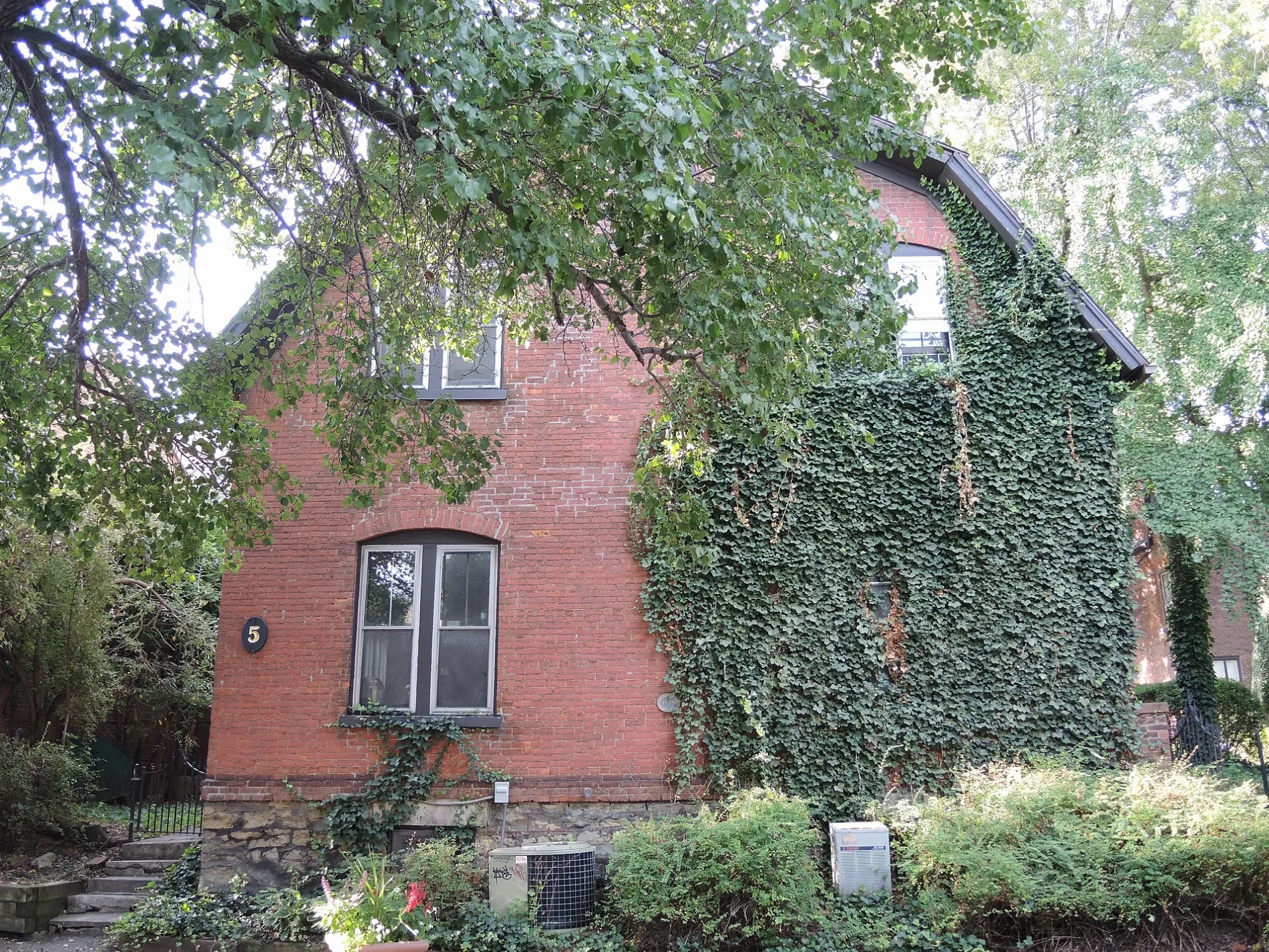
Gibbs Street in Rochester, New York
Gibbs Street in Monroe County is an asphalted residential street. It runs in a north-south direction starting from University Avenue and crosses Selden Street, Grove Street and East Main Street and ends at East Avenue. Nearby you can find among others a theater, a library, a school and a restaurant. The nearest stops are Eastman School and Eastman Living Center. Gibbs Street also exists in Saint Lawrence County.
- Road Type
- residential street
- Route
- north-south
Image
Cafes
Bus stops
Schools
Streets nearby
Grove Street300 ft
Barrett PlaceKilbourn Hall
400 ft
Stillson Street0.1 mi
Selden Street0.1 mi
Euclid StreetFuego Coffee Roasters
0.1 mi
Achilles Street0.2 mi
North Chestnut Street0.2 mi
Dalton Place0.2 mi
Liberty Pole WayHarro East Ballroom
0.2 mi
Liberty Pole PlazaRIT City Art Space
0.2 mi
Andrew Langston WayI ❤️ ROC
0.2 mi
Atlas Street0.2 mi
Elm StreetBranca, food trucks
0.2 mi
Franklin Street0.2 mi
Amity Alley0.2 mi
Franklin Court0.2 mi
Chestnut StreetRTS Broad St. Park and Ride, Puppy's Game Café
0.2 mi
Cortland Street0.2 mi
North StreetNorth & Clifford, Small World Books
0.2 mi
Franklin Square0.3 mi
South Clinton AvenueInnovation Square, Valero, Sunoco, The Cub Room, Firehouse Saloon, Swillburger, Pizza Wizard, Bookeater, Pinnacle Apartments, Crisp Rochester, Zemeta Ethiopian Restaurant, UN Cafe and Hookah Lounge, Jonzey's Closet, S. Clinton Laundry, Clinton & Goodman, Butterjoy, Napa Wood Fired Pizzeria
0.3 mi
Andrews StreetHouse of Whacks, Rochester Fire Dept. Headquarters, RFD Engine 17 / Rescue 11 / Hazmat 1 and 2
0.3 mi
Pleasant StreetSaint Josephs High School, World Wide News, Greyhound Stop
0.3 mi
North Clinton AvenueUptown Mini Mart, Ridge-Clinton Plaza, Rochester, Lilac Coin Laundry, Clinton & Clifford, Quick Mini Mart
0.3 mi
Apartment buildings nearby
University Place Apartments0.1 mi
Bars nearby
The Montage Music Hall0.2 mi
Buildings nearby
Miller Center250 ft
Eastman School of Music300 ft
Messinger Hall350 ft
RG&E Building0.1 mi
One East Avenue0.2 mi
40 Franklin Street0.2 mi
63-65 Chestnut Street0.2 mi
Tower 280 At Midtown0.2 mi
Sibley Square0.3 mi
200 East Main0.3 mi
Buildings under construction nearby
Alta Vista0.2 mi
Commercial buildings nearby
Monroe County Savings Bank Building0.1 mi
Temple Building0.2 mi
Democrat & Chronicle Media Group0.2 mi
Windstream0.2 mi
Courthouses nearby
New York State Appellate Court400 ft
Office buildings nearby
Maximum Wireless0.2 mi
Parking lots nearby
St. Joseph Garage0.3 mi
Mortimer Street Garage0.3 mi
Parks nearby
Midtown Commons0.2 mi
Midtown Parcel 50.2 mi
Schiller Park0.3 mi
Sports centers nearby
Metrocenter YMCA350 ft
Theaters nearby
Eastman Theatre200 ft
Public transit map City of Rochester Legend
| Railway | |
| Bus | |
| Streetcar |
Bicycle map City of Rochester Legend
| Bike path | |
| Bike lane on roadway | |
| Cycling allowed on bus lane | |
| Bicycle street | |
| Open to cyclists | |
| Open to cyclists, good path | |
| Cycling prohibited | |
| Cobblestone |
| Long-distance bike route | (depending on scale) | |
| Long-distance bike route |
Pedestrian map City of Rochester Legend
| Path |
| Long-distance hiking trail | (depending on scale) | |
| Long-distance hiking trail | ||
| Pedestrians prohibited |