
Rano Street in Rochester, New York
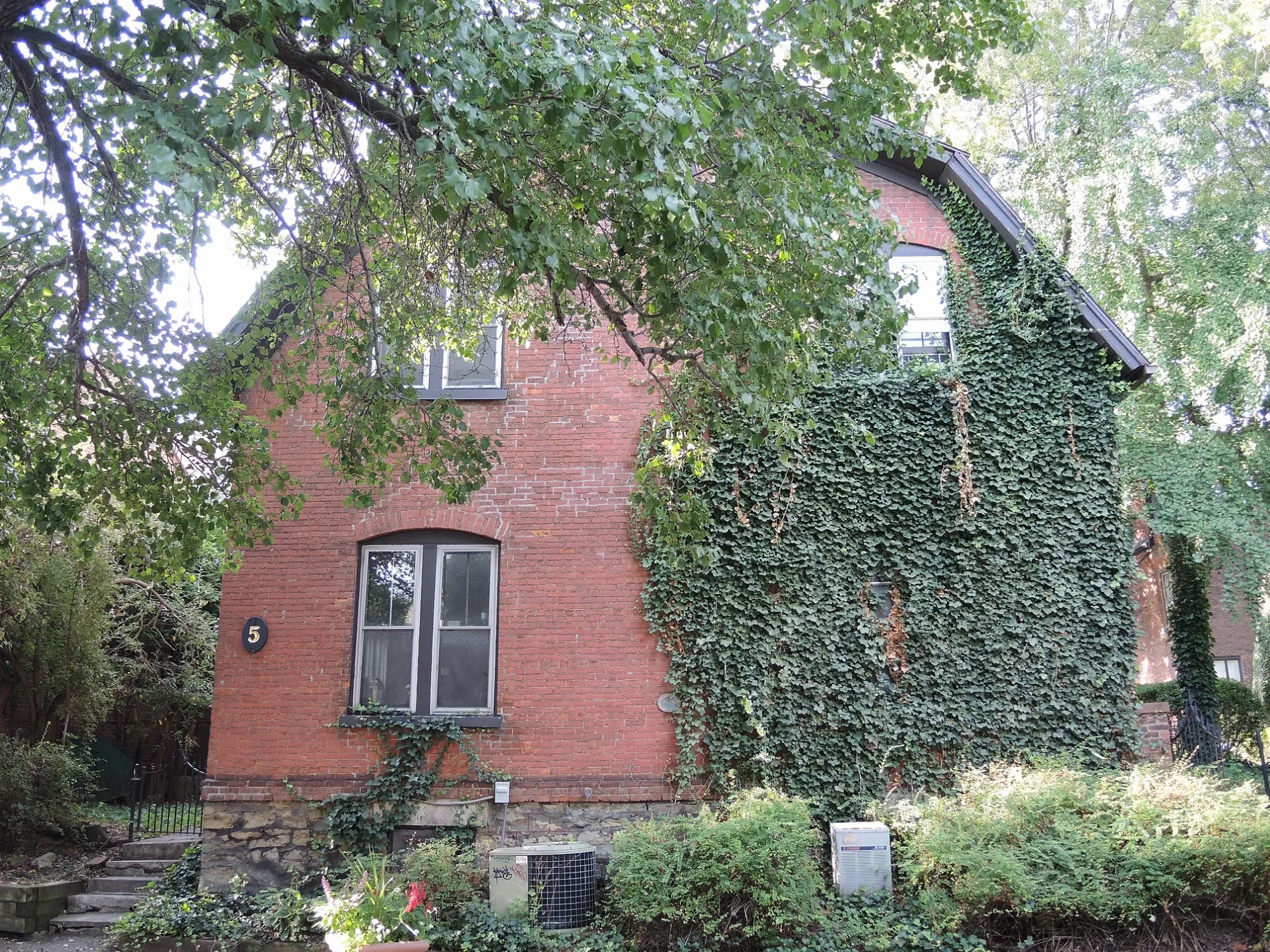
Rano Street in Monroe County is a service road and runs in a southeast-northwest direction starting from Gibbs Street and ends in a cul-de-sac. Rano Street also exists in Erie County.
- Road Type
- service road
- Route
- southeast-northwest
Image
Bus stops
Places of worship
Pubs
Stations
Restaurants
Schools
Bars
Cafes
Theaters
Fire stations
Bike rentals
Libraries
Artworks
Streets nearby
Gibbs StreetKodak Hall at Eastman Theatre, Sibley Music Library, Eastman Community Music School (Messinger Hall), Max of Eastman Place, Java's, Eastman School, Eastman Living Center
50 ft
Delevan Street350 ft
Dalton Place400 ft
Selden Street450 ft
Schlitzer Street450 ft
Cumberland Street500 ft
Lyndhurst Street0.1 mi
North StreetNorth & Clifford, Small World Books
0.1 mi
Inner Loop0.1 mi
University AvenueThe Factory Hairdressing, Animal Hospital of Rochester, University & Culver, Full Moon Vista Bike & Sport, REV BBQ, Creative WorkshopArt School, Gallery Store of the Memorial Art Gallery, University & Goodman, MAG, Two Lines Up Excentric - Twelve Feet, Joe Bean Coffee Roasters, Craft Company No. 6, Image City Photography Gallery, Just Juice, Balance, Akimbo Bookshop, Chubby & Firefighter, Big Pencil (Writers & Books), Tavern58 at Gibbs, Staple Vintage, Bachelor Forum
0.1 mi
Central AvenueTrailways - Rochester
0.1 mi
Grove Place0.1 mi
Windsor Street0.1 mi
Scio Street0.2 mi
Richmond StreetPeppaPot, Richmond's
0.2 mi
Beecher Street0.2 mi
Bohrer Alley0.2 mi
Mc Farlin Street0.2 mi
Grauwiller Street0.2 mi
Weld Street0.2 mi
Woodward Street0.2 mi
Carrier Alley0.2 mi
Parker Alley0.2 mi
Bakers Lane0.3 mi
Pitkin Street0.3 mi
Brotsch Place0.3 mi
Finney Street0.3 mi
East Main StreetPeach Blossom, Squatcho's, Morton's The Steakhouse, Starbucks, Rochester Auto Museum, Convention District, Eastman Gardens, DTLR, Main & Union, Fastrac, Midtown District, Family Dollar, Canandaigua National Bank & Trust, Hatch Recital Hall, Eastman School, Gibbs Street, DGX, Jim's on Main, Guys and Dolls, Delta Sonic, Mythic Treasures, Joey's, Main & Beechwood, East High School, Main & Winton, Clownboy Coffee, Lifeline Auto/Tires, Main & RTS Station
0.3 mi
Davis Street0.3 mi
Ontario StreetMount Carmel School
0.3 mi
Hetzel Alley0.3 mi
Hudson AvenueHudson & North, R Community Bike Inc, Delta Sonic, Hudson & Norton, Hudson & Bernard, Hudson & Alphonse, Pilo's Cafe Market, Madd Cutts Barbershop, Canopy Coin Laundry II, Hudson & Clifford
0.3 mi
Skuse Street0.3 mi
Gosnell Street0.4 mi
Lays Alley0.4 mi
Newell Alley0.4 mi
Mudge Place0.4 mi
Lewis Street0.4 mi
North Union StreetDelta Sonic Car Wash, Union & Lyndhurst, Union & Pennsylvania, South Marketview Heights
0.4 mi
Elliott Place0.4 mi
Hartford Street0.4 mi
Aikenhead Alley0.4 mi
Augusta Street0.4 mi
Portland AvenuePortland & Clifford, Portland & Carter, Portland & Wesley
0.4 mi
Apartment buildings nearby
VOC Liberty Landing0.1 mi
Clinics nearby
Planned Parenthood450 ft
Convenience stores nearby
Fastrac Cafe0.3 mi
Railways nearby
Rochester Subdivision0.5 mi
CSX Rochester Subdivision0.5 mi
Public transit map City of Rochester Legend
| Railway | |
| Bus | |
| Streetcar |
Bicycle map City of Rochester Legend
| Bike path | |
| Bike lane on roadway | |
| Cycling allowed on bus lane | |
| Bicycle street | |
| Open to cyclists | |
| Open to cyclists, good path | |
| Cycling prohibited | |
| Cobblestone |
| Long-distance bike route | (depending on scale) | |
| Long-distance bike route |
Pedestrian map City of Rochester Legend
| Path |
| Long-distance hiking trail | (depending on scale) | |
| Long-distance hiking trail | ||
| Pedestrians prohibited |