
Ford Street in Town of Van Buren Township, New York
Ford Street in Onondaga County is a residential street. It runs in a north-south direction starting from Tappan Street and crosses Massey Place and Gale Place and ends at Downer Street. Ford Street also exists in Orleans County, Saint Lawrence County, Suffolk County, Schenectady County and Jefferson County.
- Road Type
- residential street
- Route
- north-south
Image
Gas stations
Recycling stations
Supermarkets
Car washes
Pubs
Places of worship
Fast food restaurants
Variety stores
Restaurants
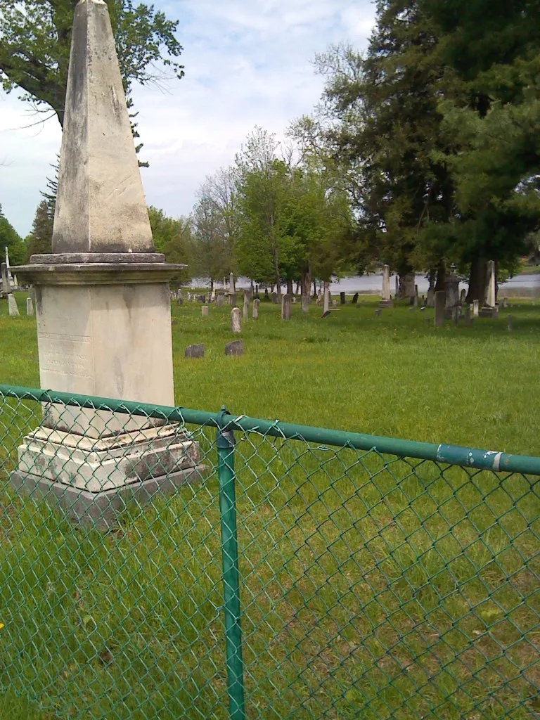
Cemeteries
Banks
Convenience stores
Beauty salons
Museums
- Shacksboro Museum (Web) at Canton Street 46 (13027) – approx. 0.5 mi.
Self storages
Streets nearby
Frawley Drive300 ft
Massey Place350 ft
Gale Place500 ft
Wilkinson Place0.1 mi
Monica Place0.2 mi
Division Street0.2 mi
Pebblewood Lane0.2 mi
Mc Harrie Street0.3 mi
Stonewood Lane0.3 mi
Cook Drive0.3 mi
Tappan Street0.3 mi
Gentry Street0.4 mi
Downer StreetCommunity Wesleyan Church, Family Dollar, M&T Bank, Fastrac Cafe, Speedway, Speedy Wash, Subway, Dunkin' Donuts, Pizza Hut
0.4 mi
Conifer Drive0.4 mi
Seneca Street0.4 mi
Southwest TrailLock E24
0.4 mi
North Street0.4 mi
River Street0.5 mi
Landrush Way0.5 mi
Meigs RoadSolvay Bank
0.5 mi
Triangle Place0.5 mi
Charlotte Street0.5 mi
West Genesee StreetBaldwinsville, Bliss Bridal and Formal Wear, Inc
0.5 mi
Canton StreetShacksboro Museum
0.5 mi
Water StreetLock E24
0.5 mi
Mildred Avenue0.5 mi
Spensieri Avenue0.5 mi
Grove Street0.6 mi
Oswego StreetThe Red Room Salon, Sheehan's Appliances, Dani's Dessert and Wine Bar, Pizza Man, That Hair Place, Angry Garlic, Seneca Savings
0.6 mi
Denio Street0.6 mi
Buildings nearby
Baldwinsville Village Hall0.6 mi
Canals nearby
Erie Canal0.4 mi
Cemeteries nearby
Saint Mary's Cemetery0.2 mi
Riverside Cemetery0.3 mi
Dams nearby
Lock 24 Dam Erie Canal0.5 mi
Drugstores nearby
Rite Aid0.2 mi
Hair salons nearby
Baldwinsville Barber Shop0.6 mi
Hotels nearby
Microtel Inn & Suites by Wyndham Baldwinsville/Syracuse0.3 mi
The Red Mill Inn0.5 mi
Parks nearby
Mercer Park0.4 mi
Places of worship nearby
First United Methodist Church0.5 mi
First Baptist Church0.6 mi
Rivers nearby
Seneca River0.4 mi
Sports fields nearby
Field 10.2 mi
Field 20.2 mi
Field 40.3 mi
Field 30.3 mi
Theaters nearby
Bud Light Amphitheater at Paper Mill Island0.5 mi
Other nearby
Baldwinsville0.6 mi
Public transit map Town of Van Buren Legend
| Railway | |
| Bus | |
| Streetcar |
Bicycle map Town of Van Buren Legend
| Bike path | |
| Bike lane on roadway | |
| Cycling allowed on bus lane | |
| Bicycle street | |
| Open to cyclists | |
| Open to cyclists, good path | |
| Cycling prohibited | |
| Cobblestone |
| Long-distance bike route | (depending on scale) | |
| Long-distance bike route |
Pedestrian map Town of Van Buren Legend
| Path |
| Long-distance hiking trail | (depending on scale) | |
| Long-distance hiking trail | ||
| Pedestrians prohibited |