
Penny Lane in Blowing Rock, North Carolina
Penny Lane in Blowing Rock is an asphalted residential street and it runs in a northeast-southwest direction starting from Galax Lane and ends in a cul-de-sac. Penny Lane also exists in Cabarrus County, Carteret County, New Hanover County, Onslow County and Orange County.
- Road Type
- residential street
- Route
- northeast-southwest
Image
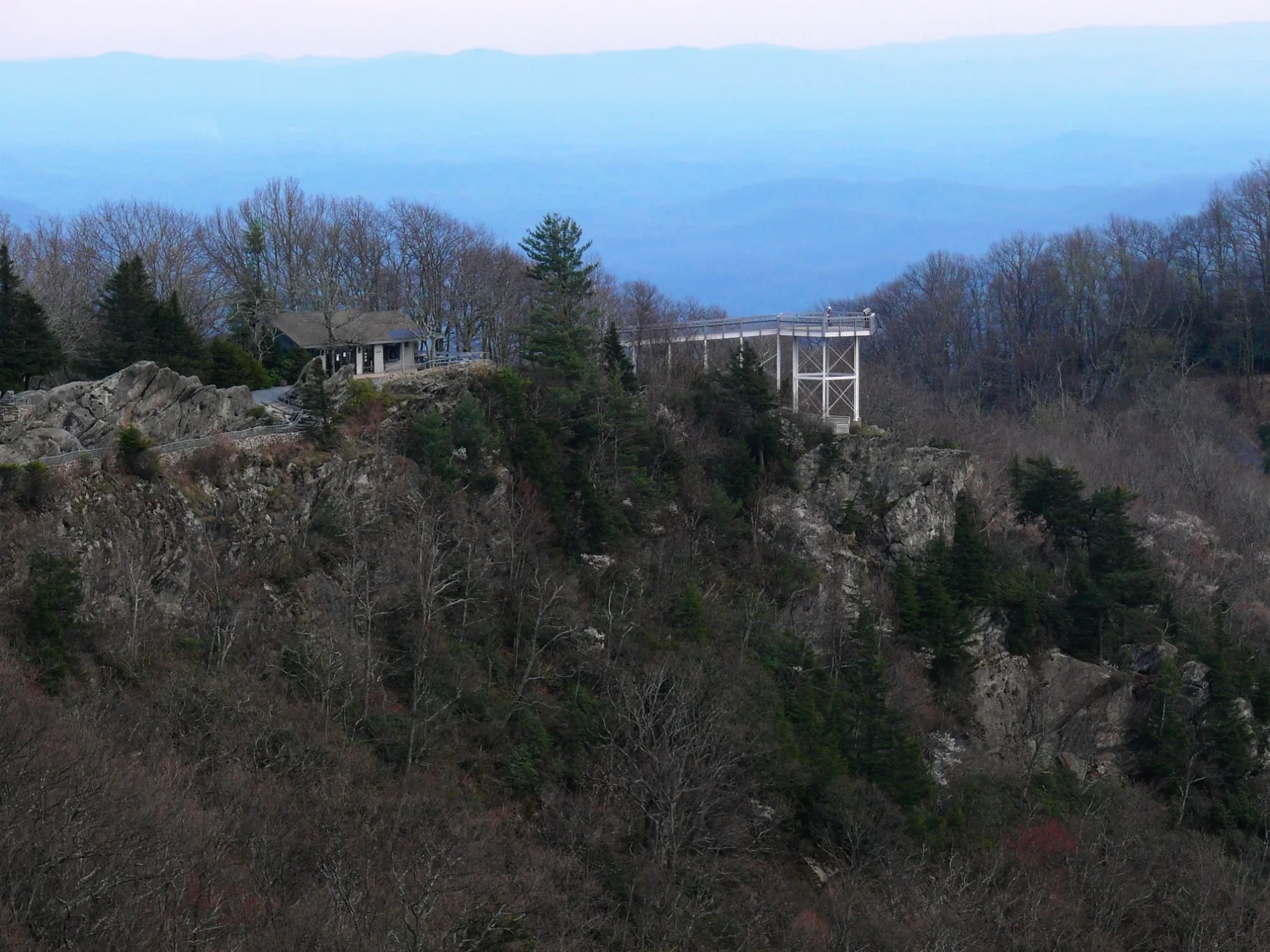
Pubs
Cafes
Bike shops
Parking lots
Wine shops
Restaurants
Places of worship
Liquor stores
Supermarkets
Vending machines
Clothing stores
Furniture stores
Motels
Theaters
Jewelry stores
Streets nearby
Galax Lane300 ft
Hemlock Lane0.1 mi
Green Hill Road0.1 mi
Tarry Acres Circle0.1 mi
Lenoir Turnpike0.2 mi
Gideon Ridge Road0.2 mi
West Green Hill Drive0.2 mi
Volky Lane0.2 mi
Oak Street0.3 mi
The Rock Road0.3 mi
Gideon Ridge LaneRestaurant at Gideon Ridge
0.3 mi
Green Hill Circle0.3 mi
Pinnacle AvenueCanyons Restaurant
0.3 mi
Grandfather View RoadGreen Hill
0.3 mi
Blackberry Lane0.3 mi
Cliff Lane0.3 mi
Cone Orchard Lane0.4 mi
Cliff Drive0.4 mi
Rockledge Drive0.4 mi
Blowing Rock BoulevardBlowing Rock Estates, Blowing Rock Tire & Auto, Blue Ridge Vistas Motel, Blue Ridge Mountain Stop, Pure, Longford Church, Saunders Old Country Store, The Latin Twist Cafe, Bailey Camp, Harrison Cemetery, Greene's Trading Post
0.4 mi
Fairway 11 Court0.4 mi
Green Hill Woods0.4 mi
Sourwood Lane0.4 mi
Robbins Ridge Trail0.5 mi
Fairway 12 Court0.5 mi
Fairway Lane0.5 mi
The Pines0.5 mi
Harmon Lane0.6 mi
Country Club Drive0.6 mi
Andrea Lane0.6 mi
Wonderland Drive0.6 mi
Edge Hill Lane0.6 mi
Woodbine Way0.7 mi
Country Club Lane0.7 mi
Forbes Lane0.7 mi
Wonderland Woods Road0.7 mi
Goforth Road0.7 mi
Rankin RoadMount Bethel Church
0.7 mi
Wonderland Woods Drive0.8 mi
Little Woods Lane0.8 mi
Heritage Lane0.8 mi
Laurel Grove Lane0.8 mi
Ovens Lane0.8 mi
Buildings nearby
Blowing Rock Country Club Clubhouse0.4 mi
Dams nearby
Blowing Rock Country Club Dam0.7 mi
Hotels nearby
Green Park Inn0.2 mi
Places of worship nearby
Church of the Epiphany350 ft
Tourist information centers nearby
The Blowing Rock Visitor Center0.4 mi
Gorge Annex0.5 mi
Public transit map Blowing Rock Legend
| Railway | |
| Bus | |
| Streetcar |
Bicycle map Blowing Rock Legend
| Bike path | |
| Bike lane on roadway | |
| Cycling allowed on bus lane | |
| Bicycle street | |
| Open to cyclists | |
| Open to cyclists, good path | |
| Cycling prohibited | |
| Cobblestone |
| Long-distance bike route | (depending on scale) | |
| Long-distance bike route |
Pedestrian map Blowing Rock Legend
| Path |
| Long-distance hiking trail | (depending on scale) | |
| Long-distance hiking trail | ||
| Pedestrians prohibited |