
South Academy Street in Cary, North Carolina
South Academy Street in Cary is a two-lane, asphalted secondary road. It runs in a north-south direction starting from North Academy Street and crosses East Chatham Street, West Chatham Street, Waldo Street, Zev Summit Lane, East Park Street, West Park Street and Charlie Gaddy Lane and ends at Dry Avenue. Nearby you can find among others a restaurant, a tourist information, a marketplace and a cafe. The bus lines 5, 6 and 301 serve this stop. South Academy Street also exists in Beaufort County, Cleveland County, Duplin County, Gaston County and Iredell County.
- Road Type
- secondary road
- Lanes
- 2
- Speed Limit
- 25 mph
- Route
- north-south
Image
Delis
Bus stops
- bus lines 5, 6, 301
Marketplaces
Streets nearby
Zev Summit Lane50 ft
Waldo StreetThe Perfect Piece
450 ft
Mayton View Lane500 ft
Charlie Gaddy Lane500 ft
Park Station Lane0.1 mi
Flat Rail Trail0.1 mi
West Chatham StreetOnce in a Blue Moon Bakery and Cafe, Chatham Street Wine Market, The Walk Up, Kingdom Tobacco & Vapor, May Tailor & Cleaners, Inc., West Chatham Street & Dixon Avenue, The Matthews House, West Chatham Street & Willow Street, West Chatham Street & West Park Street, Bethel Baptist Church
0.1 mi
SkywalkL'île Folie
0.2 mi
Awesome StreetLittle Free Library
0.2 mi
Park Thorough Street0.2 mi
Kildaire Farm RoadKiosk 2, Downtown Cary Park Guest Services, Kildaire Farm Road & Cary Parkway, Kildaire Farm Road & Cornwall Road, Kildaire Farm Road at WakeMed Cary Hospital, NextCare Urgent Care, Kildaire Farm Road & Maynard Road, Kildaire Farm Road & Commonwealth Court, Kildaire Farm Road & Wrenn Drive, VEG, Kildaire Farm Road & Lavar Drive, Kildaire Farm Road & Troon Village Lane, Kildaire Farm Road & McEnroe Court, Kildaire Farm Road & Queensferry Road, Cary Family Dental, Truist, Valero, V Pizza, The Butcher's Market, Cookie Cutters, Sugar Buzz Bakery, Great Grapes, Kildaire Farm Road & Farmington Woods Drive, Kildaire Farm Road & High Meadow Drive, Instanbul Restaurant, Kildaire Farm Road at Mayfair Plaza, Terrys Floor Fashions, Kildaire Farm Road & Kilmayne Drive, Kildaire Farm Road & Executive Circle, Kildaire Farm Road & Glasgow Road
0.2 mi
West Park Street0.2 mi
Manhattan Court0.2 mi
South West Street0.2 mi
Faculty AvenueCary Elementary School
0.3 mi
Page Street0.3 mi
Arts centers nearby
Cary Arts Center0.2 mi
Bakeries nearby
La Farm Bakery0.2 mi
Buildings nearby
Alisa Huffman MSW, JD Family & Elder Law0.1 mi
Home for Entertaining0.1 mi
Gathering House0.1 mi
Ivey Ellington House0.1 mi
Cary Clean Team0.2 mi
Carpet stores nearby
Contract Carpet Outlet0.1 mi
Clothing stores nearby
Lana Addison Bridal400 ft
Construction sites nearby
The Jordan400 ft
Grasslands nearby
Gathering Garden0.1 mi
Great Lawn0.1 mi
Park Street Courts0.1 mi
Frantz Square0.2 mi
Hotels nearby
Park Street Cottage300 ft
The Mayton Inn450 ft
Libraries nearby
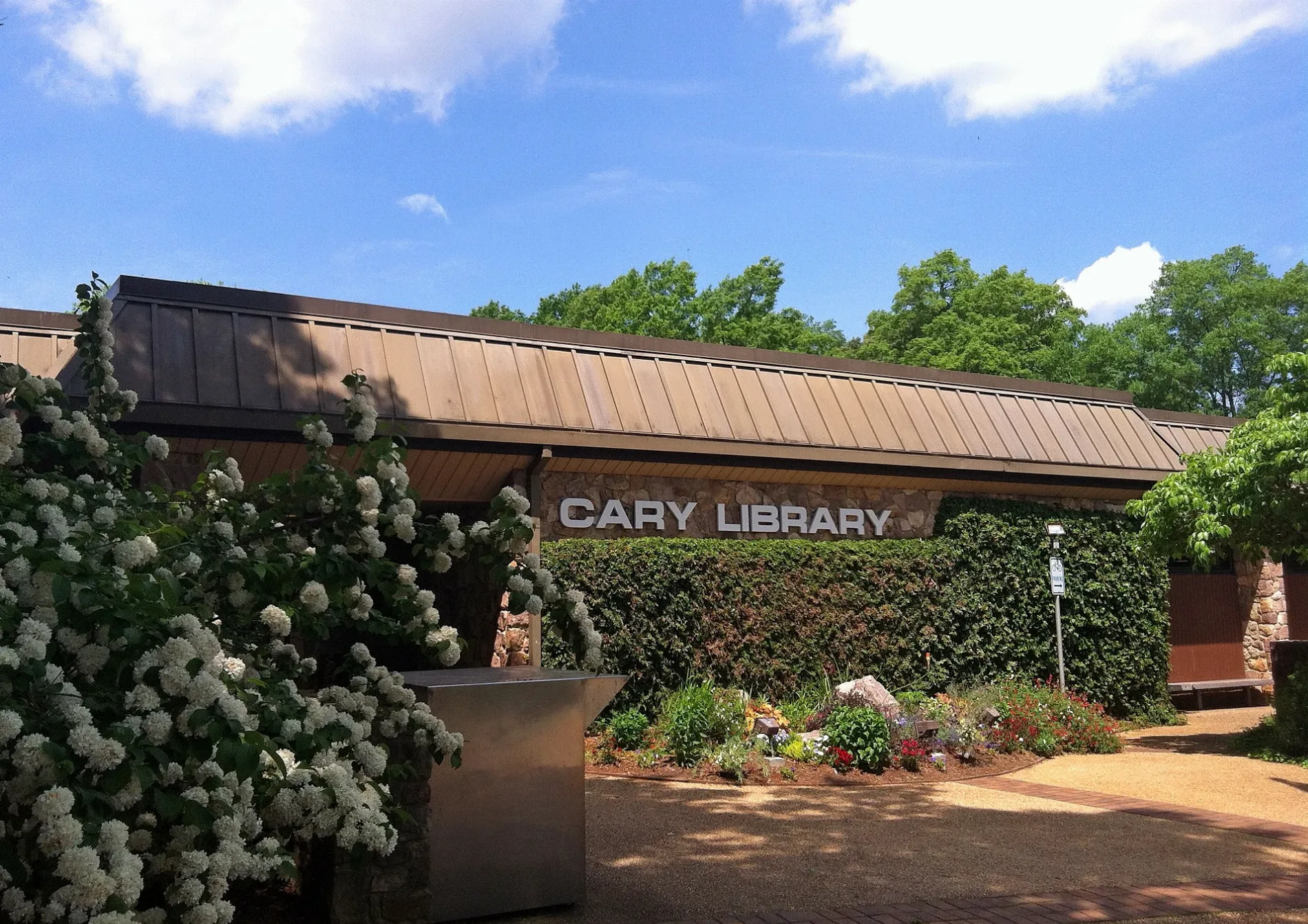
Cary Regional Library0.2 mi
Parking lots nearby
Town of Cary Library Parking Deck0.2 mi
Parks nearby
Old Library Park0.1 mi
Downtown Cary Park0.2 mi
Places of worship nearby
First Baptist Church, Cary250 ft
Playgrounds nearby
Sprayground0.1 mi
The Nest Splash Pad0.1 mi
The Nest0.2 mi
Post offices nearby
Cary Post Office300 ft
Pubs nearby
Cotton House Craft Brewers450 ft
Residential areas nearby
Krendle Woods0.2 mi
Russell Hills0.3 mi
Retail buildings nearby
Academy Pavilion0.1 mi
School buildings nearby
Cary Elementary School0.3 mi
Theaters nearby
The Cary Theater550 ft
Great Lawn Pavilion0.1 mi
Other nearby
Willow Isle0.2 mi
Public transit map Cary Legend
| Railway | |
| Bus | |
| Streetcar |
Bicycle map Cary Legend
| Bike path | |
| Bike lane on roadway | |
| Cycling allowed on bus lane | |
| Bicycle street | |
| Open to cyclists | |
| Open to cyclists, good path | |
| Cycling prohibited | |
| Cobblestone |
| Long-distance bike route | (depending on scale) | |
| Long-distance bike route |
Pedestrian map Cary Legend
| Path |
| Long-distance hiking trail | (depending on scale) | |
| Long-distance hiking trail | ||
| Pedestrians prohibited |