
Center Church Road in Davidson County, North Carolina
Center Church Road in Davidson County is a local road. It runs in a northeast-southwest direction starting from Arnold Road and crosses Daisy Lane, Weaver Road, Cecil Road, Lynda Lane, Cynthia Lane, Pickett Drive, Cranford Street and North 1st Street and ends at Old US Highway 52. Center Church Road also exists in Alamance County, Alexander County, Cumberland County, Lee County and Rockingham County.
- Road Type
- local road
- Speed Limit
- 55 mph
- Route
- northeast-southwest
Image
Places of worship
Streets nearby
Pickett Drive350 ft
Cranford Street500 ft
Old US Highway 52Welcome, Welcome Church of God, Bank of North Carolina, Exxon, Sunoco, Welcome Food Mart
0.2 mi
North 1st Street0.3 mi
Wesley Street0.3 mi
North Leonard Road0.3 mi
Charlie Hinkle Road0.3 mi
Maple Street0.3 mi
Cynthia Lane0.3 mi
North 2nd Street0.4 mi
Industial Drive0.4 mi
Sidney Craver Road0.4 mi
Homer Leonard Road0.4 mi
Tina Drive0.4 mi
Lynda Lane0.4 mi
Johns Road0.4 mi
Virginia Road0.4 mi
Lincoln Street0.4 mi
Lexington Avenue0.4 mi
Austin Drive0.5 mi
Cecil Road0.5 mi
Welcome Street0.5 mi
Salem Road0.5 mi
Chapman Drive0.5 mi
Hill Drive0.5 mi
Shelton Avenue0.6 mi
Leonard RoadEbenezer United Methodist Church
0.6 mi
Homer Street0.6 mi
State Road 29120.6 mi
Middle Creek Court0.6 mi
Candlewood DriveFood Lion, Walgreens, Subway, Bojangles'
0.7 mi
Frog Pond Drive0.8 mi
Kepley Craver Avenue0.8 mi
Weaver Wagner Lane0.8 mi
Welcome-Arcadia RoadWeathervane Winery
0.8 mi
Auto parts stores nearby
Advance Auto Parts0.3 mi
Buildings nearby
Center Methodist Church450 ft
Welcome Elementary School0.2 mi
Richard Petty Motorsports0.3 mi
Richard Childress Racing0.5 mi
ECR Engines0.5 mi
Welcome Tire & Automotive0.6 mi
Cemeteries nearby
Center Methodist Cemetery0.3 mi
Fast food restaurants nearby
Bojangles'0.6 mi
McDonald's0.6 mi
Museums nearby
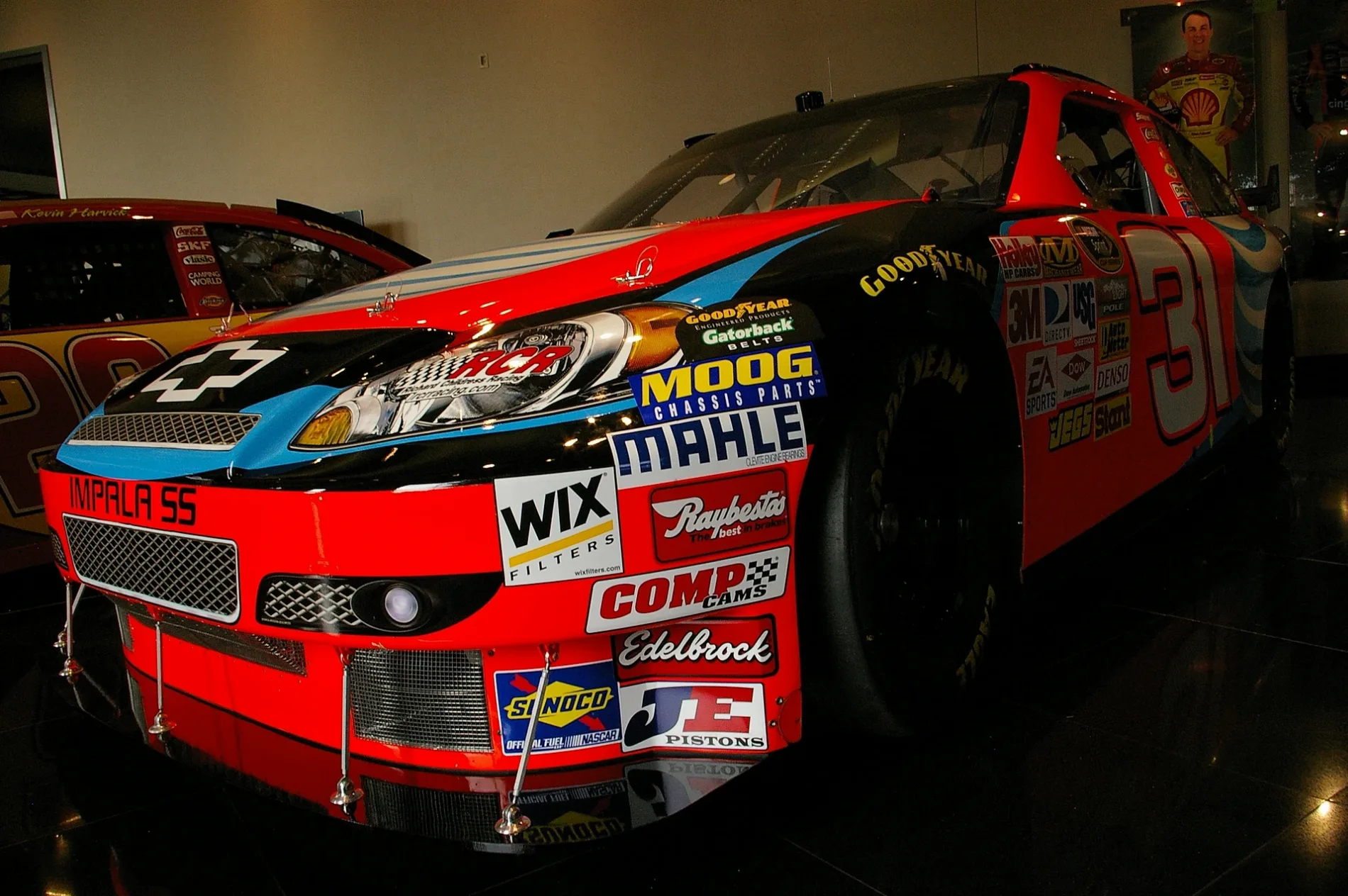
Richard Childress Racing Museum0.3 mi
Sports centers nearby
Welcome Athletic Complex0.1 mi
Streams nearby
Swearing Creek0.7 mi
Swimming pools nearby
Welcome Swimming Pool0.3 mi
 Public transit map Davidson County Legend
| Railway | |
| Bus | |
| Streetcar |
 Bicycle map Davidson County Legend
| Bike path | |
| Bike lane on roadway | |
| Cycling allowed on bus lane | |
| Bicycle street | |
| Open to cyclists | |
| Open to cyclists, good path | |
| Cycling prohibited | |
| Cobblestone |
| Long-distance bike route | (depending on scale) | |
| Long-distance bike route |
 Pedestrian map Davidson County Legend
| Path |
| Long-distance hiking trail | (depending on scale) | |
| Long-distance hiking trail | ||
| Pedestrians prohibited |