
Clyde Hayes Drive in Winston-Salem, North Carolina
Clyde Hayes Drive in Winston-Salem is a residential street and runs in an east-west direction starting from Old Town Drive and ends in a cul-de-sac.
- Road Type
- residential street
- Route
- east-west
Image
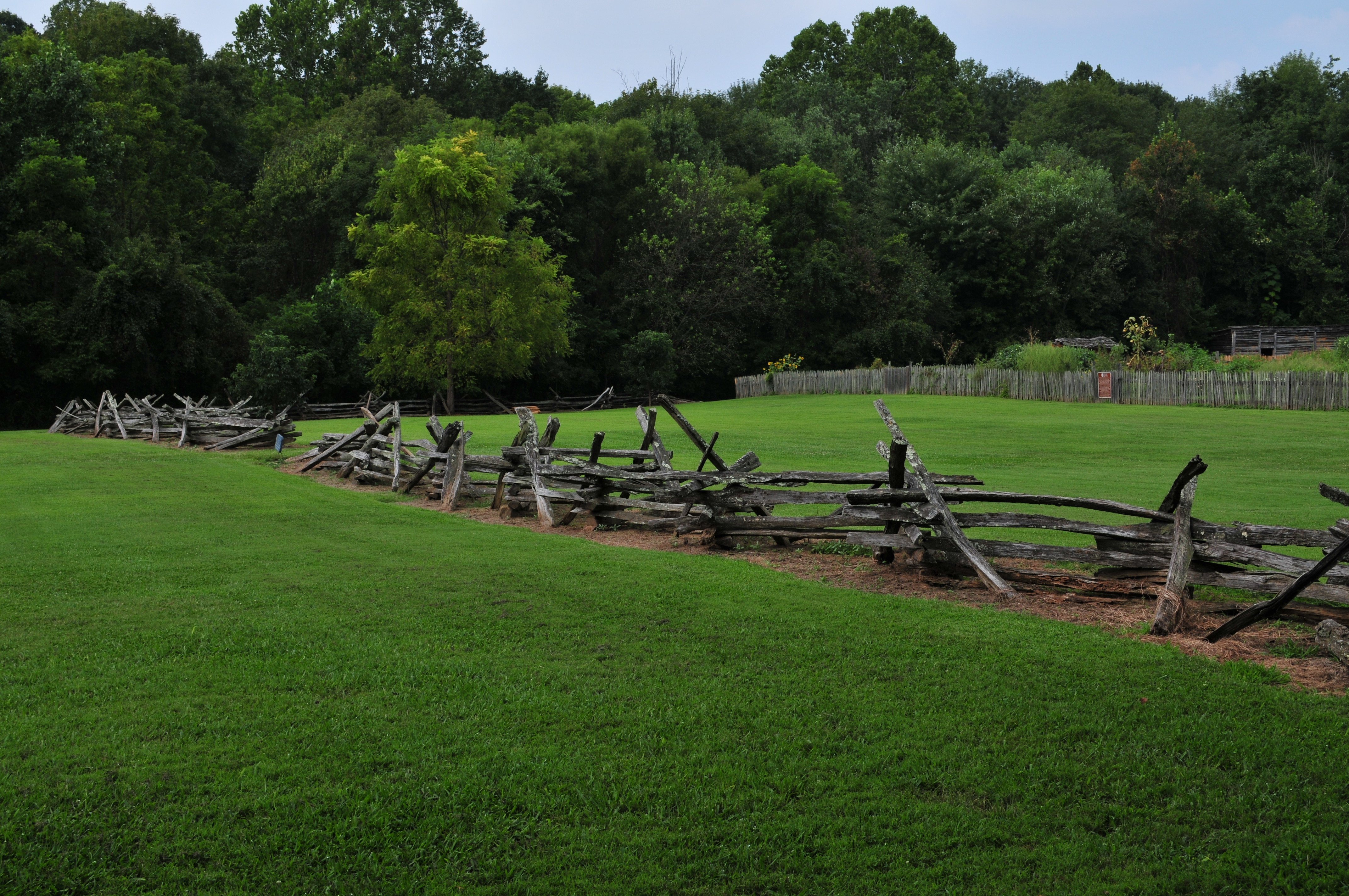
Places of worship
Supermarkets
Clothing stores
Car washes
Bike shops
Restaurants
Museums
- Bethabara Visitor Center (free of charge, Web) at Bethabara Road 2147 (27106) – approx. 0.3 mi.
Dentist offices
Bakeries
Gas stations
Fast food restaurants
Convenience stores
Trophy shops
Variety stores
Pet stores
Streets nearby
Old Town Drive0.1 mi
Dawn Street0.2 mi
Bethabara Park BoulevardGoodwill
0.2 mi
God's Acre Cemetery Trail0.2 mi
Bethabara Greenway0.2 mi
Woodsong Lane0.2 mi
Minart Drive0.2 mi
Bethabara RoadBethabara Visitor Center, Bethabara Church, Oldtown
0.3 mi
Woodsong CourtQuail Pointe
0.3 mi
Linda Circle0.3 mi
Edith Avenue0.3 mi
Mill Creek Trail0.3 mi
Seville Street0.3 mi
Bethania Station RoadBethania Station
0.3 mi
Brian Center Lane0.4 mi
Brian Center Court0.4 mi
Millrace Trail0.4 mi
Bonbrook Drive0.4 mi
Woodcreek Road0.4 mi
Bethabara Hills Drive0.4 mi
Midkiff Road0.4 mi
Antietam Drive0.4 mi
Bethabara Park Boulevard Northwest0.4 mi
Harpers Ferry Road0.4 mi
Ingle Street0.4 mi
Bonbrook Circle0.5 mi
Antietam Court0.5 mi
Old Town Road0.5 mi
Indiana AvenueIndiana Avenue & Patterson Avenue, Indiana Avenue & 30th Street Kara Facility, Indiana Avenue & 30th Street, Menz Fashion, Citgo, Piney Grove School, Alspaugh, Carolina Christian College
0.5 mi
Bethabara Hills Court0.5 mi
Woods Road0.5 mi
Echo Glen Drive0.5 mi
Reynolda RoadMaple Springs Church, Mi Pueblo, East Coast Wings + Grill, Ken's Bike Shop, Panera Bread, Marco's Pizza, Old Town, Speedway
0.5 mi
Briarcliff Road0.6 mi
Bathabara Hills Court0.6 mi
Columbine DriveWinston Salem Family Dental Care
0.6 mi
Oldtown DriveWaldo's Wings, Subway, Cicis, Mama Zoe Michael's, Crown Trophy
0.6 mi
Zuni Court0.7 mi
Bars nearby
Pine Tree Tavern0.5 mi
Cemeteries nearby
God's Acre Cemetery0.1 mi
Old Town Cemetery0.2 mi
Fast food restaurants nearby
Panera Bread0.6 mi
McDonald's0.7 mi
Parks nearby
Bethabara Park0.1 mi
Historic Bethabara Park0.3 mi
Places of worship nearby
Bethabara Moravian Church0.4 mi
Railways nearby
K-Line0.3 mi
Rivers nearby
Mill Creek0.1 mi
Streams nearby
Monarcas Creek0.4 mi
Public transit map Winston-Salem Legend
| Railway | |
| Bus | |
| Streetcar |
Bicycle map Winston-Salem Legend
| Bike path | |
| Bike lane on roadway | |
| Cycling allowed on bus lane | |
| Bicycle street | |
| Open to cyclists | |
| Open to cyclists, good path | |
| Cycling prohibited | |
| Cobblestone |
| Long-distance bike route | (depending on scale) | |
| Long-distance bike route |
Pedestrian map Winston-Salem Legend
| Path |
| Long-distance hiking trail | (depending on scale) | |
| Long-distance hiking trail | ||
| Pedestrians prohibited |