
Durham County, North Carolina
Durham County is located in North Carolina. About 300,952 people live here. Between 2010 and 2020, the population grew from 267,587 to 324,833. The area covers about 771.0 square kilometers. The region is divided into 2 Municipalities and 5 Subregions. The region was founded in 1881. The name originates from Bartlett S. Durham (American businessman) Durham County is county in North Carolina, United States. More information at dconc.gov.
Durham County – Facts
| Population | 324833 |
|---|---|
| Area | 771 km² |
| Subregions | 7 |
| Named after | Bartlett S. Durham |
| Year built | 1881 |
| Located in | North Carolina |
| Country | United States |
| Native name | Durham County |
| Website | https://www.dconc.gov/ |
Data source: Wikidata (CC0)
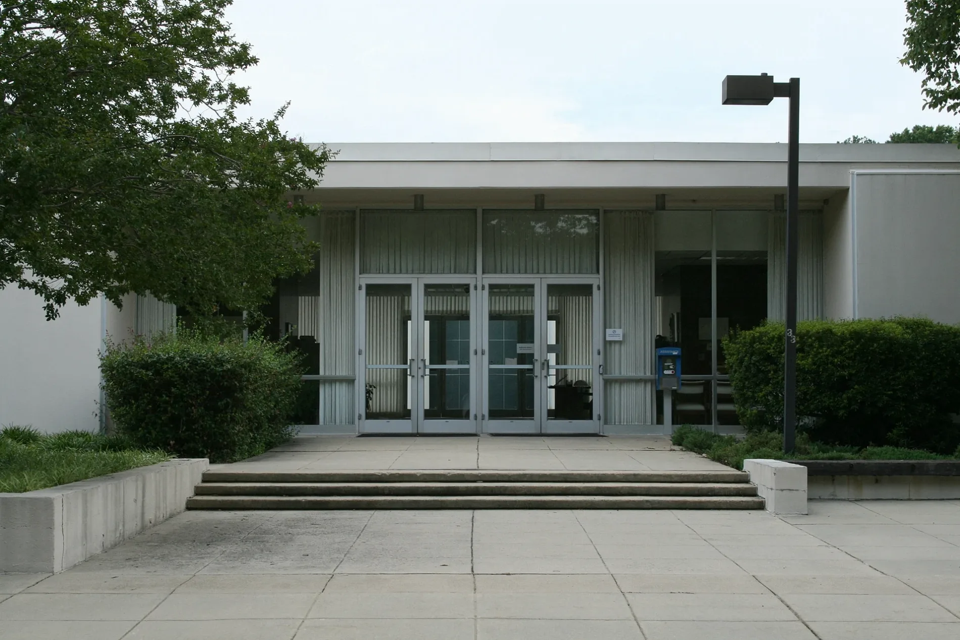
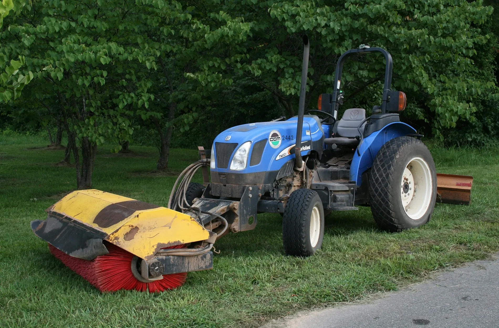
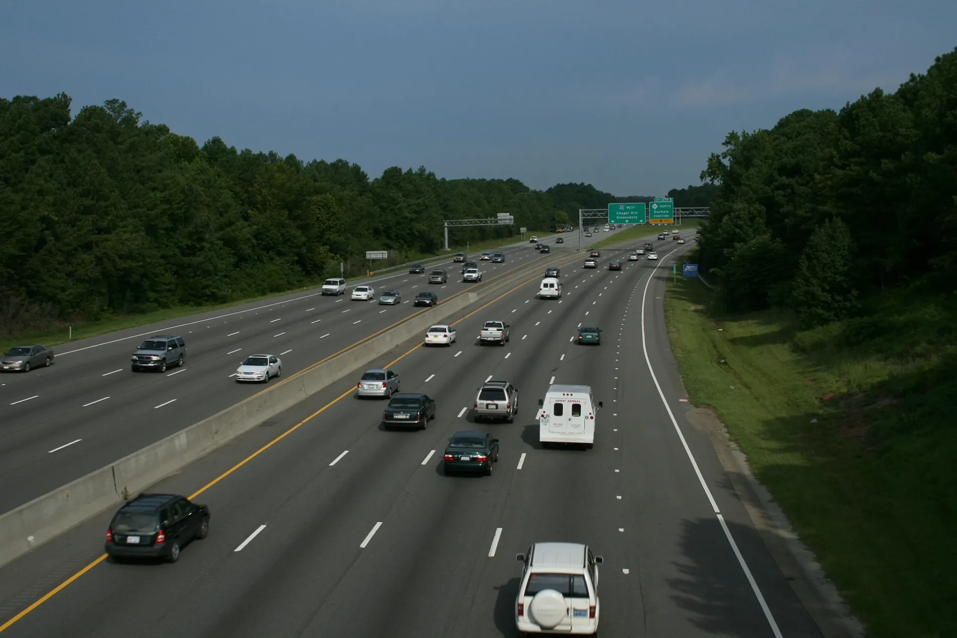
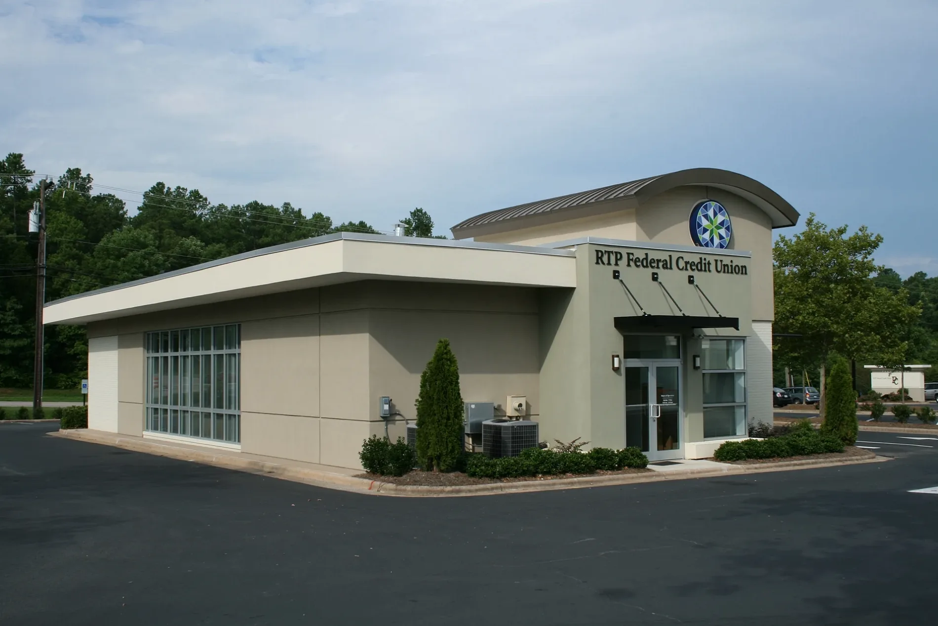
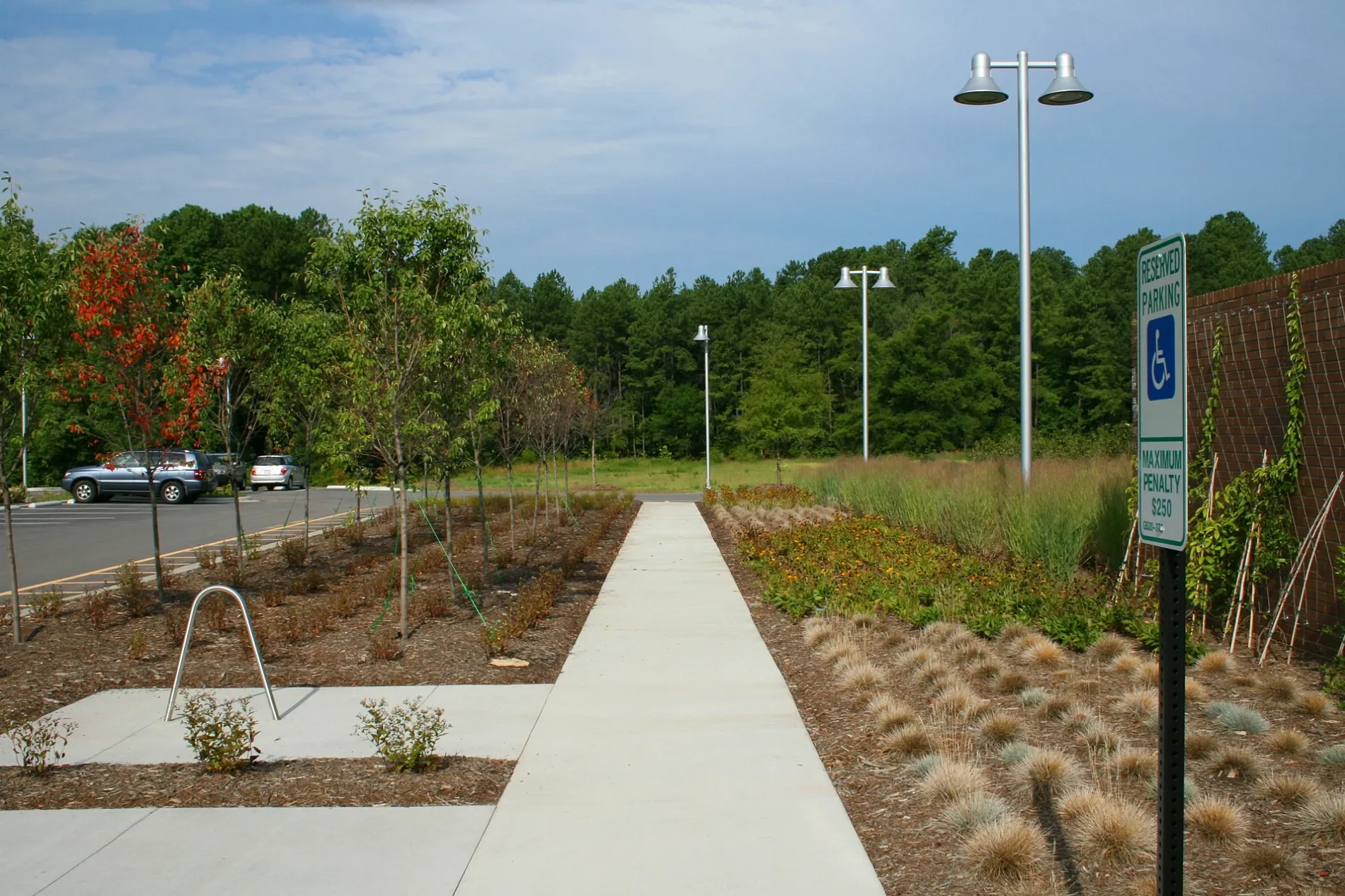
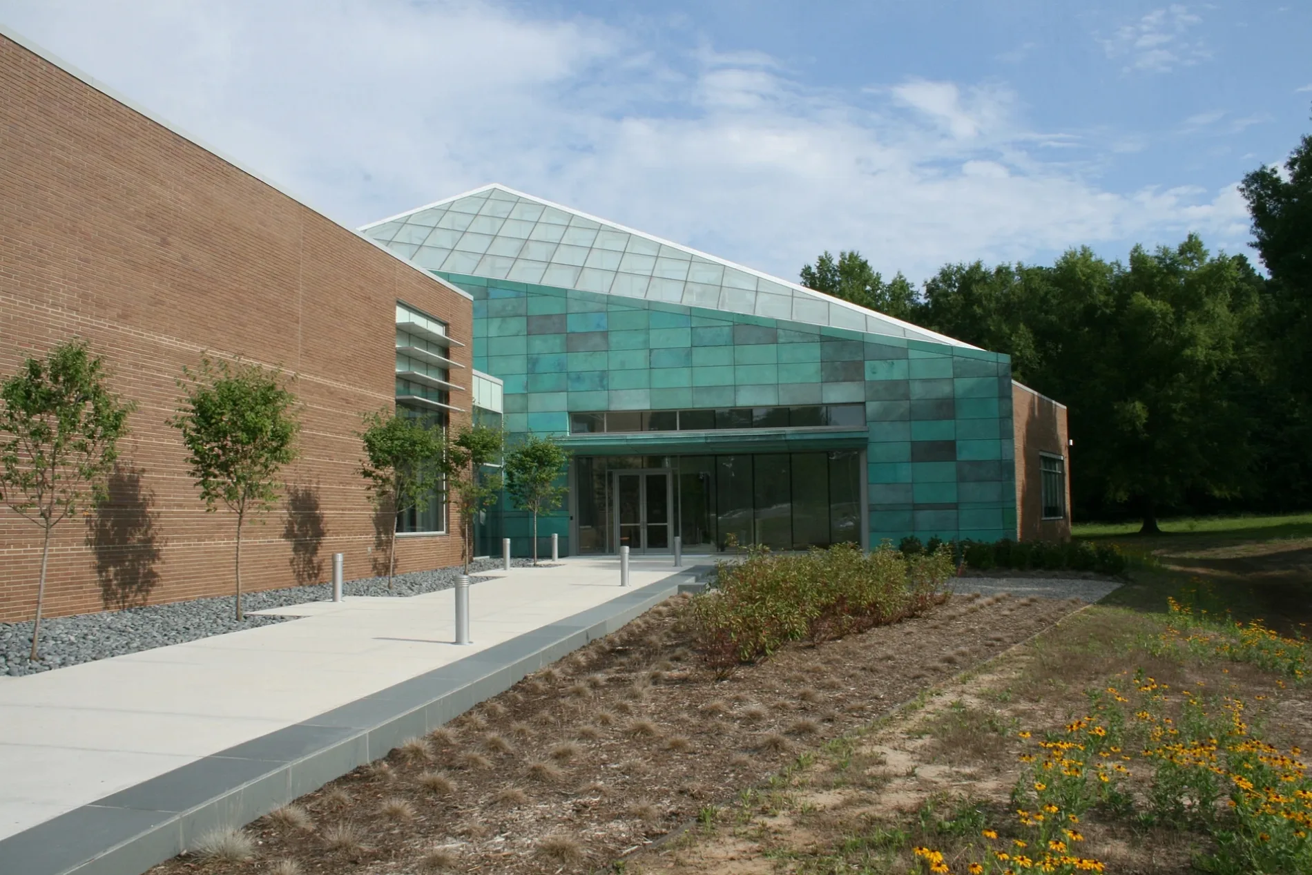
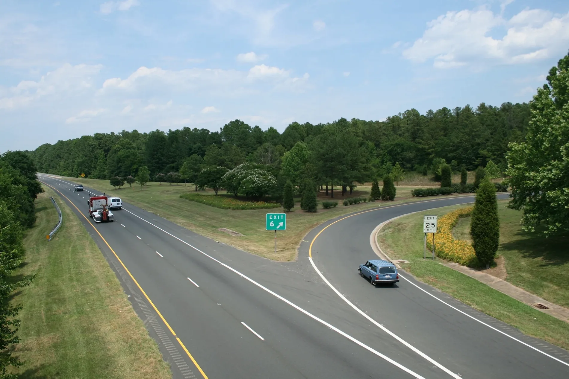
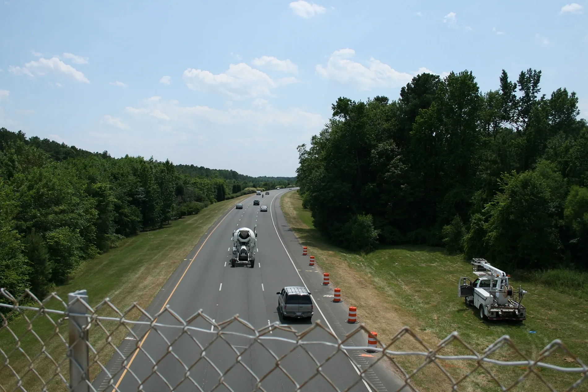
Photos from Durham County
Municipalities and Neighborhoods in Durham County, North Carolina
Durham
Old West Durham
Walltown
Watts-Hospital Hillandale
Trinity Heights
Trinity Park
Northgate Park
Duke Park
Old North Durham
Croasdaile Farm
Croasdaile
American Village
Carillon Forest
Colony Park
Welcome Circle
Burch Avenue
Coles Pond
Waterford
Anderson St. / Wrightwood Park
Forest Acres
Spring Valley
Myers Park/Beechgrove
Archer Woods
Huckleberry Heights
Westwood Estates
 Public transit map Durham County Legend
 | Railway | |
| Bus | |
| Streetcar |
 Bicycle map Durham County Legend
 | Bike path | |
| Bike lane on roadway | |
| Cycling allowed on bus lane | |
| Bicycle street | |
| Open to cyclists | |
| Open to cyclists, good path | |
| Cycling prohibited | |
| Cobblestone |
| Long-distance bike route | (depending on scale) | |
| Long-distance bike route |
 Pedestrian map Durham County Legend
 | Path |
| Long-distance hiking trail | (depending on scale) | |
| Long-distance hiking trail | ||
| Pedestrians prohibited |