
Harris Street in Hendersonville, North Carolina
Harris Street in Hendersonville is a residential street. It runs in a north-south direction starting from Ashe Street and crosses Martin Luther King Junior Boulevard, 5th Avenue East and B Street and ends at 4th Avenue East. Harris Street also exists in Brunswick County, Cabarrus County, Chatham County, Cleveland County and Craven County.
- Road Type
- residential street
- Route
- north-south
Image
Bakeries
Event venues
Fast food restaurants
Butcher shops
Bike shops
Banks
Pubs
Bars
Tattoo studios
Hair salons
Secondhand stores
Interior decorators
Gas stations
Jewelry stores
Art galleries
Doctor's offices
Pet grooming salons
Veterinary clinics
Cafes
Candy stores
Streets nearby
Walnut Tree Circle300 ft
South Walnut Tree Street400 ft
Jonas Street500 ft
B Street0.1 mi
Martin Luther King Junior Boulevard0.1 mi
Maple StreetCabbage Rose Venue
0.1 mi
5th Avenue EastGillians Gallery, Carolina Mountain Artists Guild
0.1 mi
Barker StreetThe Brandy Bar
0.1 mi
Pace Street0.2 mi
Boxcar Street0.2 mi
Four Seasons BoulevardExxon, Applebee's, Champion Credit Union
0.2 mi
Cherry Street0.2 mi
4th Avenue EastMineral & Lapidary Museum, La Magia, The Fountainhead Book Store, Tribal Trends, Jane Asher's Antiques & Fine Traditions, Mean Mustard's Cafe, Old Towne Market, The Corner Pocket
0.2 mi
North Pine Street0.2 mi
Williams Street0.2 mi
Beech StreetShakedown Kava Lounge
0.2 mi
7th Avenue EastUnderground Baking Co., The Blood and Brews Tattoo Studio, Junk And Disorderly Resale, Stacey's Grooming, Bright and Beautiful Salon, Marco's Pizza, M & M Meatlocker, Marathon, Telco Community Credit Union - Hendersonville Branch
0.2 mi
Track Street0.3 mi
Elm Street0.3 mi
North King Street0.3 mi
Woodcock Drive0.3 mi
8th Avenue EastSouthern Appalachian Brewery
0.3 mi
6th Avenue East0.3 mi
Oklawaha Greenway0.3 mi
North Edwards StreetMacon Bank
0.3 mi
North Grove StreetAll Saints Animal Hospital, Patchwork Community Care
0.3 mi
Ashe Street0.4 mi
Towhee Drive0.4 mi
Lynn Street0.4 mi
Bearcat BoulevardThe Charleston Inn
0.4 mi
Locust StreetSycamore Cycles, Key Associates
0.4 mi
9th Avenue East0.4 mi
Goldfinch Drive0.4 mi
Robinson Terrace0.4 mi
Attractions nearby
Southern X7930.2 mi
Historical Downtown0.3 mi
Banks nearby
HomeTrust Bank0.3 mi
Bars nearby
Cantina Phoenix0.3 mi
Bear Falls Wine Company0.4 mi
Buildings nearby
Guidon Brewing Company0.3 mi
Team ECCO Aquarium & Shark Lab0.4 mi
Downtown Hendersonville - Main Street Program0.4 mi
Courthouses nearby
Henderson County Courthouse0.3 mi
Ice cream shops nearby
Celtic Creamery WNC0.3 mi
Parks nearby
Dr. Martin Luther King Jr. Memorial Park0.3 mi
Railways nearby
Blue Ridge Southern (W-Line)0.2 mi
Hendersonville Siding0.4 mi
Restaurants nearby
White Duck Taco Shop0.2 mi
Train stations nearby
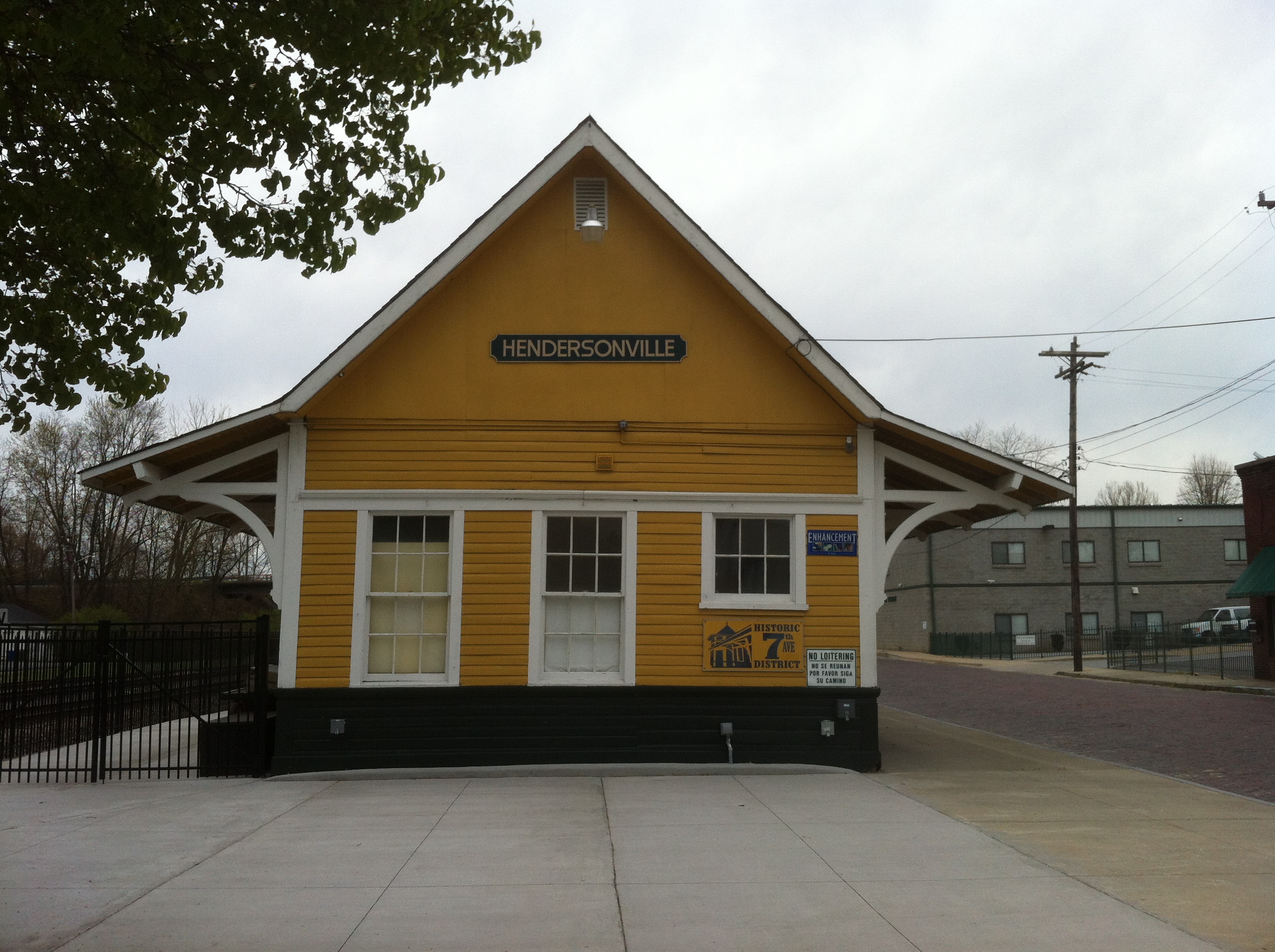
Hendersonville Depot0.2 mi
Public transit map Hendersonville Legend
| Railway | |
| Bus | |
| Streetcar |
Bicycle map Hendersonville Legend
| Bike path | |
| Bike lane on roadway | |
| Cycling allowed on bus lane | |
| Bicycle street | |
| Open to cyclists | |
| Open to cyclists, good path | |
| Cycling prohibited | |
| Cobblestone |
| Long-distance bike route | (depending on scale) | |
| Long-distance bike route |
Pedestrian map Hendersonville Legend
| Path |
| Long-distance hiking trail | (depending on scale) | |
| Long-distance hiking trail | ||
| Pedestrians prohibited |