
7th Avenue West in Hendersonville, North Carolina
7th Avenue West in Hendersonville is a three-lane main road (Road number US 64). It runs as a one-way street in an east-west direction starting from 7th Avenue East and crosses North Main Street and North Church Street and ends at Buncombe Street. This street is part of the highway "64". Nearby there is a bank.
- Road Type
- main road
- Speed Limit
- 20 mph
- Lanes
- 3
- Route
- east-west
Image
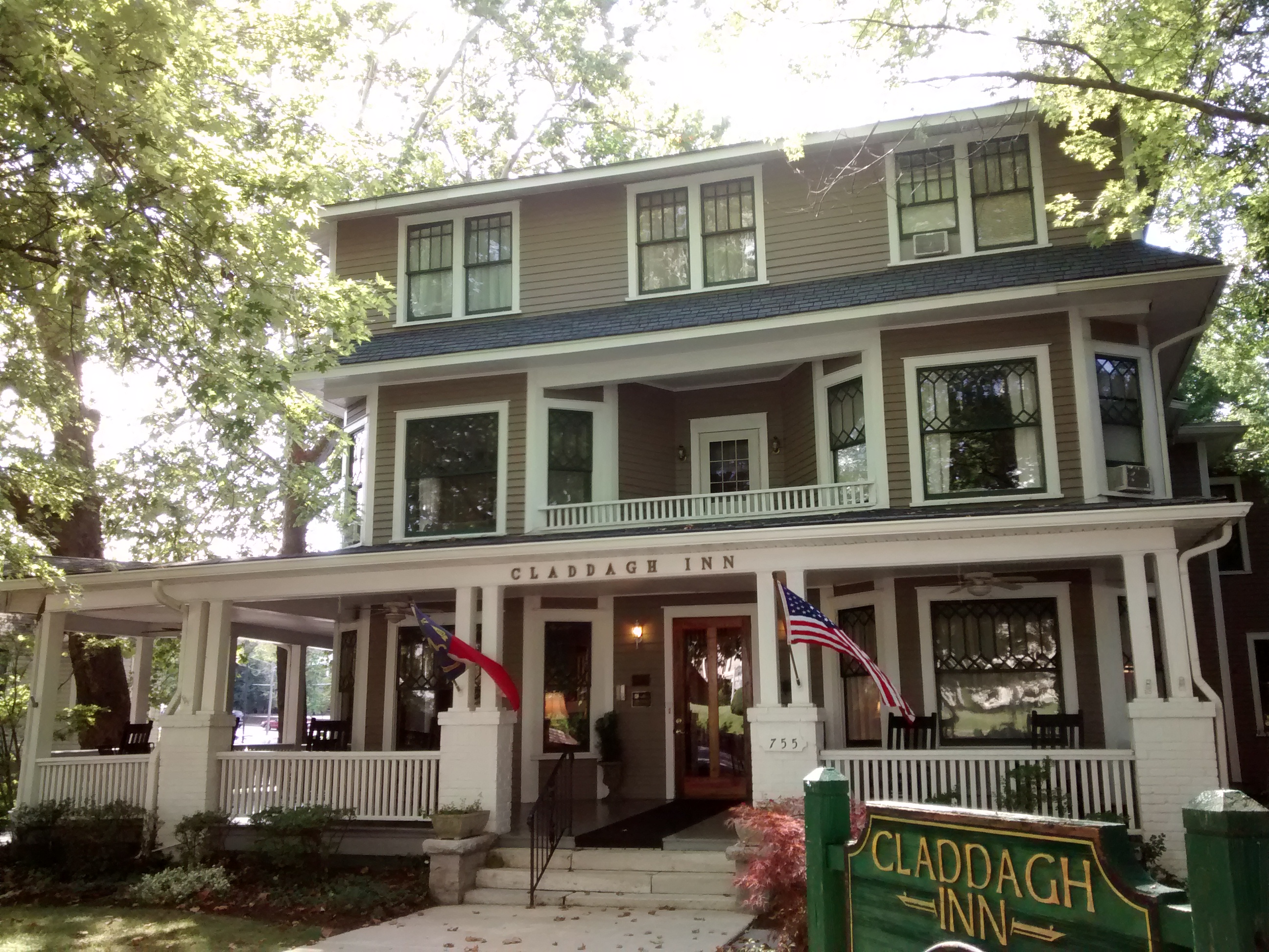
Banks
Streets nearby
North Wall StreetMcFarland Old Fashioned Bakery, Mean Mr Mustard's Cafe, Narnia Studios, Linda Spry Design Interiors, Marble Slab Creamery, Mountain Song Gallery, Shelley's Jewelry, Swanson's & Sons LLC
400 ft
7th Avenue EastMarathon, Underground Baking Co., The Blood and Brews Tattoo Studio, Junk And Disorderly Resale, Stacey's Grooming, Bright and Beautiful Salon, Marco's Pizza, M & M Meatlocker, Telco Community Credit Union - Hendersonville Branch
500 ft
6th Avenue East500 ft
North Church StreetCAKES DU-JOUR
0.1 mi
6th Avenue WestImmaculata Catholic School, Hendersonville
0.1 mi
5th Avenue EastGillians Gallery, Carolina Mountain Artists Guild
0.1 mi
North Edwards StreetMacon Bank
0.1 mi
North Grove StreetAll Saints Animal Hospital, Patchwork Community Care
0.1 mi
Buncombe Street0.1 mi
Bearcat BoulevardThe Charleston Inn
0.2 mi
North Main StreetBlack Bear Coffee Co., First Citizens Bank, Asheville Savings Bank, Black Rose Pub, Forest Commercial Bank, GypsyHeart, La Vida Loca, Mezzaluna, T's Blue Note, DAD'S C.A.T.S., Four Seasons Hospice, Moon on Main, Wag! A Unique Pet Boutique, Dancing Bear Toys, Kilwins Chocolates, Silver Fox Gallery, Village Green Antique Mall, Goldsmith By Rudi, The Dugout, Young Designs LLC, Wickwire Fine Art Folk Art, Vessel
0.2 mi
North King Street0.2 mi
Track Street0.2 mi
8th Avenue EastSouthern Appalachian Brewery
0.2 mi
Four Seasons BoulevardExxon, Applebee's, Champion Credit Union
0.2 mi
Locust StreetSycamore Cycles, Key Associates
0.2 mi
Lynn Street0.3 mi
Boxcar Street0.3 mi
9th Avenue East0.3 mi
Laurel Street0.3 mi
Oakland Street0.3 mi
Asheville Highway0.3 mi
Algeria Street0.4 mi
Patton Street0.4 mi
Highland Avenue0.4 mi
Attractions nearby
Historical Downtown0.1 mi
Southern X7930.2 mi
Banks nearby
First Bank300 ft
First Citizens Bank450 ft
HomeTrust Bank0.1 mi
Bars nearby
Bear Falls Wine Company0.2 mi
Buildings nearby
Downtown Hendersonville - Main Street Program350 ft
Team ECCO Aquarium & Shark Lab0.1 mi
Guidon Brewing Company0.3 mi
Department stores nearby
Mast General Store Hendersonville550 ft
Fire stations nearby
Hendersonville Fire Department0.2 mi
Florists nearby
Narnia Studios0.2 mi
Hotels nearby
The Charleston Inn400 ft
Ice cream shops nearby
Celtic Creamery WNC0.1 mi
Motels nearby
1898 Waverly Inn550 ft
Places of worship nearby
Reformation Presbyterian Church300 ft
First United Methodist Church0.1 mi
Restaurants nearby
Umi150 ft
Pop's Diner0.2 mi
White Duck Taco Shop0.3 mi
Sports halls nearby
Jim Pardue Gymnasium0.3 mi
Stadiums nearby
Deitz Field0.3 mi
Train stations nearby
Hendersonville Depot0.2 mi
Vacation apartments nearby
Braeburn Bungalow0.3 mi
Public transit map Hendersonville Legend
| Railway | |
| Bus | |
| Streetcar |
Bicycle map Hendersonville Legend
| Bike path | |
| Bike lane on roadway | |
| Cycling allowed on bus lane | |
| Bicycle street | |
| Open to cyclists | |
| Open to cyclists, good path | |
| Cycling prohibited | |
| Cobblestone |
| Long-distance bike route | (depending on scale) | |
| Long-distance bike route |
Pedestrian map Hendersonville Legend
| Path |
| Long-distance hiking trail | (depending on scale) | |
| Long-distance hiking trail | ||
| Pedestrians prohibited |