
Mayhew in Iredell County, North Carolina
Mayhew in Iredell County is a service road (private). It runs in a north-south direction starting from Landis Highway and ends at Landis Highway.
- Road Type
- service road
- Route
- north-south
Image
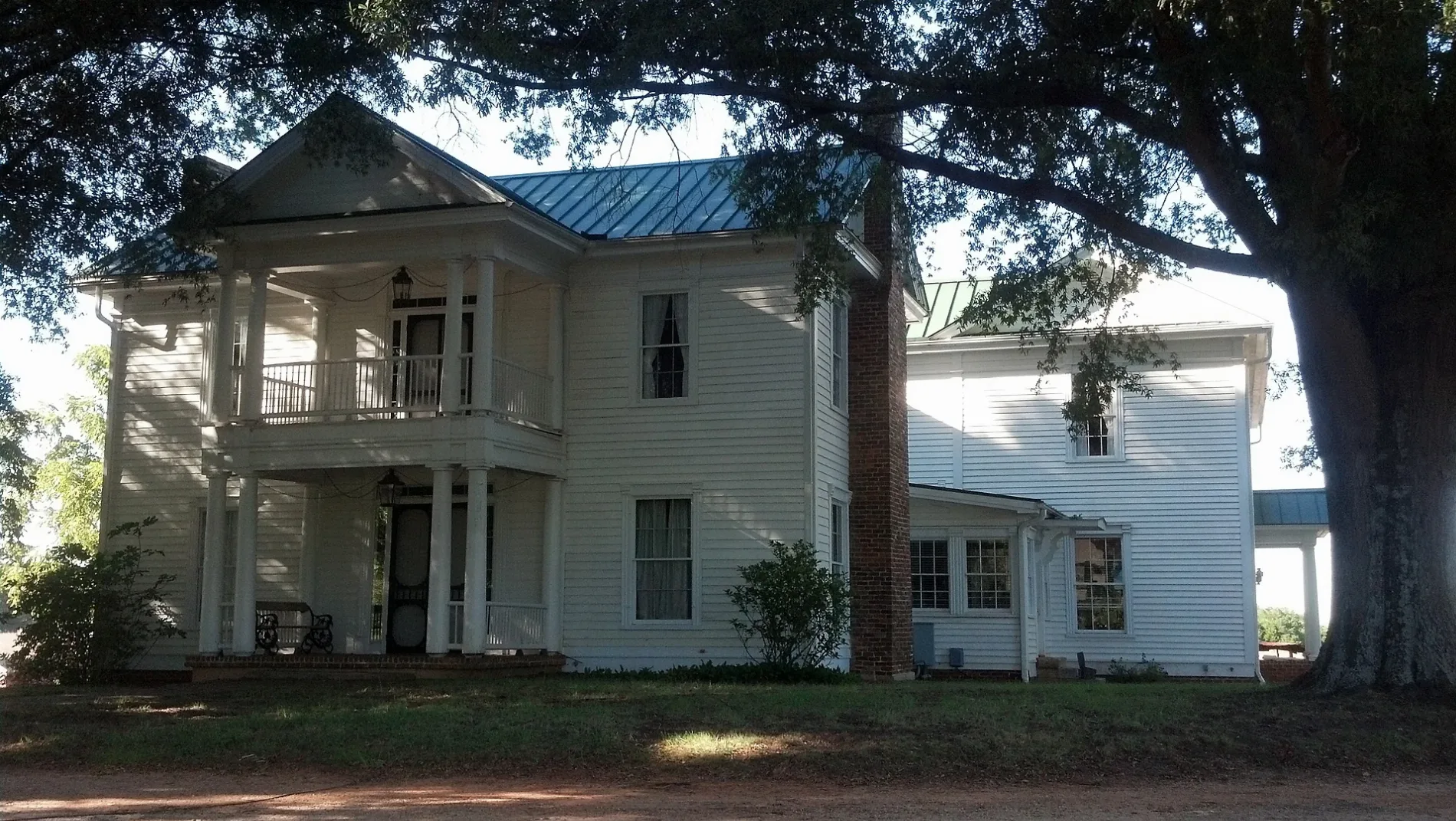
Streets nearby
Ivygate Lane0.1 mi
Picwyck Drive0.2 mi
Downy Thistle Lane0.2 mi
Oak Meadow Road0.3 mi
Avalon Reserve Drive0.3 mi
Elysian Estate Court0.3 mi
Alexander Acres Road0.4 mi
Paradise Hills Circle0.4 mi
Forest Edge Road0.4 mi
Empyrean Loop0.4 mi
Azalea Road0.5 mi
Corina Lane0.5 mi
Kipka Lane0.5 mi
Oak Ridge Farm HighwayValero, CashPoints, J Booth Salon
0.5 mi
Cricklewood Lane0.5 mi
Vandenbrook Lane0.5 mi
Moore Farm Lane0.6 mi
Weeping Spring Drive0.6 mi
Knight Lane0.6 mi
Rougemont Lane0.6 mi
East Neel Ranch Road0.6 mi
Double Rose Lane0.6 mi
East Warfield Drive0.6 mi
Glenfield Drive0.7 mi
Cherry Grove Drive0.7 mi
Wiggins Road0.7 mi
Cornelian Court0.7 mi
Forest Walk Way0.7 mi
Landis Highway0.7 mi
Bite Size Lane0.7 mi
Chertsey Drive0.7 mi
Colborne Drive0.7 mi
Summrow Court0.8 mi
Pineridge Drive0.8 mi
Oakridge Farm HighwayPebbles Automotive, Silly Chickens Lodge, Corner Crafts And More
0.8 mi
Willow Valley Drive0.8 mi
Laurel Glen Drive0.8 mi
Winterbell Drive0.9 mi
Granados Lane0.9 mi
Cardinal Berry Court0.9 mi
Northbridge Drive0.9 mi
Blackberry Creek Lane0.9 mi
Mcknight Lane0.9 mi
London Avenue0.9 mi
Fallon Lane1.0 mi
Ashcraft Drive1.0 mi
Farmland nearby
Carrigan Farms0.4 mi
Parks nearby
North Main Park0.8 mi
Variety stores nearby
Dollar General0.4 mi
 Public transit map Iredell County Legend
| Railway | |
| Bus | |
| Streetcar |
 Bicycle map Iredell County Legend
| Bike path | |
| Bike lane on roadway | |
| Cycling allowed on bus lane | |
| Bicycle street | |
| Open to cyclists | |
| Open to cyclists, good path | |
| Cycling prohibited | |
| Cobblestone |
| Long-distance bike route | (depending on scale) | |
| Long-distance bike route |
 Pedestrian map Iredell County Legend
| Path |
| Long-distance hiking trail | (depending on scale) | |
| Long-distance hiking trail | ||
| Pedestrians prohibited |