
Turner Street in Mooresville, North Carolina
Turner Street in Mooresville is a residential street and runs in a north-south direction starting from Williams Street and ends at West Statesville Avenue. Turner Street also exists in Davidson County, Wake County, Guilford County, Halifax County and Lincoln County.
- Road Type
- residential street
- Route
- north-south
Image
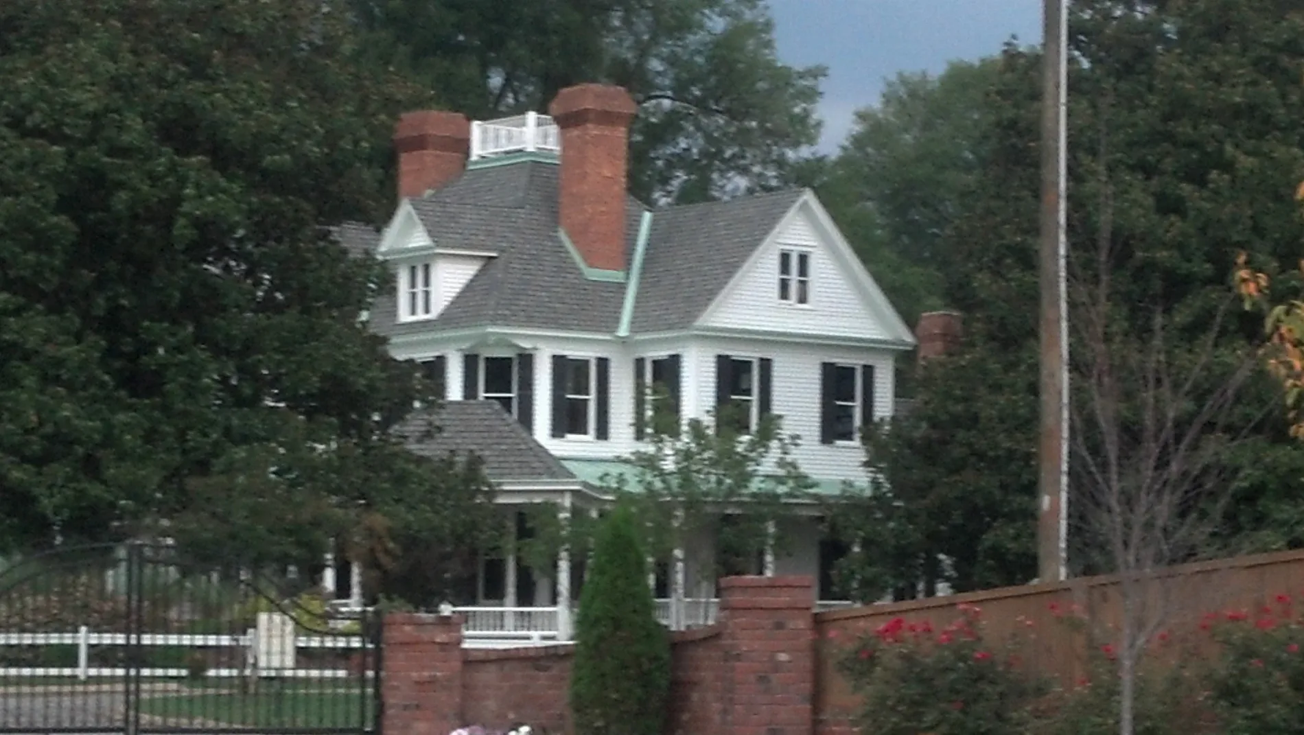
Fast food restaurants
Tattoo studios
Supermarkets
Antique stores
Variety stores
Pharmacies
Restaurants
Banks
Auto parts stores
Bed stores
Liquor stores
Car dealerships
Car washes
Gas stations
Cafes
Auto repair shops
Police stations
Convenience stores
Streets nearby
School Street400 ft
Piedmont Point Drive0.1 mi
North Broad StreetBace Barbershop, Finishline Car Wash, Chase
0.1 mi
Ashe Alley0.1 mi
Williams Street0.2 mi
Ashe Street0.2 mi
Cascade Main Street0.2 mi
Joseph Lane0.2 mi
Agape Drive0.3 mi
Rebecca Jane Drive0.3 mi
Burke Circle0.3 mi
Lisa Carol Drive0.3 mi
Patterson Avenue0.3 mi
Walnut Street0.3 mi
Plaza LaneWill Gonzalez Tattoos
0.3 mi
Selma Drive0.3 mi
Tara Lynn Drive0.4 mi
Creekridge Circle0.4 mi
Boger Street0.4 mi
Brunswick Street0.4 mi
West Statesville AvenueKangaroo Express
0.4 mi
Oak Ridge Farm HighwayOutlet Mattresses, Going Twice, A And B Auto Body Repair, Champion Car Company, All About You Nails And Spa
0.4 mi
Troutman Avenue0.4 mi
Lee Street0.4 mi
Biltmore Street0.4 mi
Plyler Street0.4 mi
Brookwood Drive0.4 mi
West McNeely Avenue0.5 mi
Mackey Avenue0.5 mi
Oak Street0.5 mi
Willow Avenue0.5 mi
Cascade Road0.5 mi
Logan Street0.5 mi
Nash Court0.5 mi
West Park Avenue0.5 mi
Spencer Street0.5 mi
Tennyson Court0.5 mi
Tunnel Road0.5 mi
Brookwood StreetPark Avenue United Methodist Church
0.6 mi
North Academy Street0.6 mi
Spencer Avenue0.6 mi
Gum Street0.6 mi
Buildings nearby
Mooresville DMV Drivers License Office0.2 mi
Cemeteries nearby
Green Acres Cemetery0.1 mi
Fast food restaurants nearby
McDonald's0.5 mi
Garage areas nearby
Mooresville Mini Storage0.5 mi
Parks nearby
Lee Street Park0.4 mi
Magla Park0.5 mi
Pharmacies nearby
Cannon Pharmacy0.4 mi
Public transit map Mooresville Legend
| Railway | |
| Bus | |
| Streetcar |
Bicycle map Mooresville Legend
| Bike path | |
| Bike lane on roadway | |
| Cycling allowed on bus lane | |
| Bicycle street | |
| Open to cyclists | |
| Open to cyclists, good path | |
| Cycling prohibited | |
| Cobblestone |
| Long-distance bike route | (depending on scale) | |
| Long-distance bike route |
Pedestrian map Mooresville Legend
| Path |
| Long-distance hiking trail | (depending on scale) | |
| Long-distance hiking trail | ||
| Pedestrians prohibited |