
Jackson County Airport in Sylva, NC 28779
Jackson County Airport in Sylva, NC 28779 (Jackson County) is an airfield. Ⓦ.
- Operator
- Jackson County Airport Authority
Image
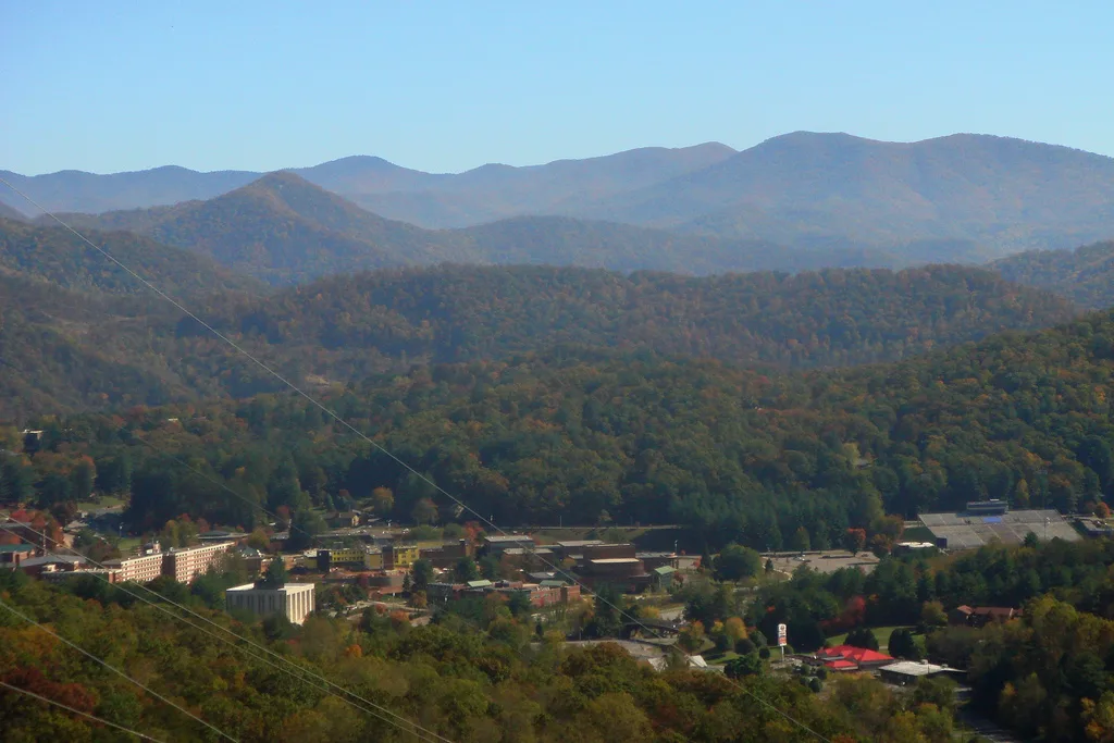
Streets nearby
Airport Road0.2 mi
Upper Long Branch0.3 mi
Lower Long Branch0.3 mi
Burning Ridge Drive0.3 mi
Corkscrew0.4 mi
Little Savannah Connector0.4 mi
Gribble Gap Loop0.4 mi
HHS Connector0.4 mi
Little Savannah RoadLittle Savannah Church, HHS Overflow, Helm Apartments, Exxon
0.5 mi
Travelers Nest0.5 mi
Badger Trail0.5 mi
Dr Killian Road0.6 mi
Cullowhee Connector0.6 mi
Ben Cook Road0.7 mi
Tigerlily Court0.7 mi
Roscoe Lewis Drive0.7 mi
Husk DriveHusk Apartments
0.7 mi
Unterga Trail0.7 mi
Rushmore Drive0.7 mi
Citadel Drive0.8 mi
Carrot Drive0.8 mi
Apartment buildings nearby
1830.7 mi
1710.7 mi
1550.7 mi
2850.7 mi
1570.7 mi
1450.7 mi
1150.7 mi
3150.8 mi
45110.8 mi
560.8 mi
1330.8 mi
3550.8 mi
1210.8 mi
540.8 mi
550.8 mi
160.8 mi
970.8 mi
360.8 mi
930.8 mi
45390.8 mi
150.8 mi
290.8 mi
Buildings nearby
45150.8 mi
Fire stations nearby
Cullowhee Volunteer Fire Department Station 10.6 mi
Residential areas nearby
Hampton Little Savannah0.7 mi
Streams nearby
Long Branch0.7 mi
University buildings nearby
Health and Human Sciences Building0.5 mi
Other nearby
Husk Pool0.8 mi
| Elevation | 870.8 m |
|---|---|
| Located in | Jackson County |
| Country | United States |
| Website | https://www.ncdot.gov/divisions/aviation/Pages/nc-airports.aspx |
 Public transit map Jackson County Legend
| Railway | |
| Bus | |
| Streetcar |
 Bicycle map Jackson County Legend
| Bike path | |
| Bike lane on roadway | |
| Cycling allowed on bus lane | |
| Bicycle street | |
| Open to cyclists | |
| Open to cyclists, good path | |
| Cycling prohibited | |
| Cobblestone |
| Long-distance bike route | (depending on scale) | |
| Long-distance bike route |
 Pedestrian map Jackson County Legend
| Path |
| Long-distance hiking trail | (depending on scale) | |
| Long-distance hiking trail | ||
| Pedestrians prohibited |