
Altapass Highway in Spruce Pine, NC 28777
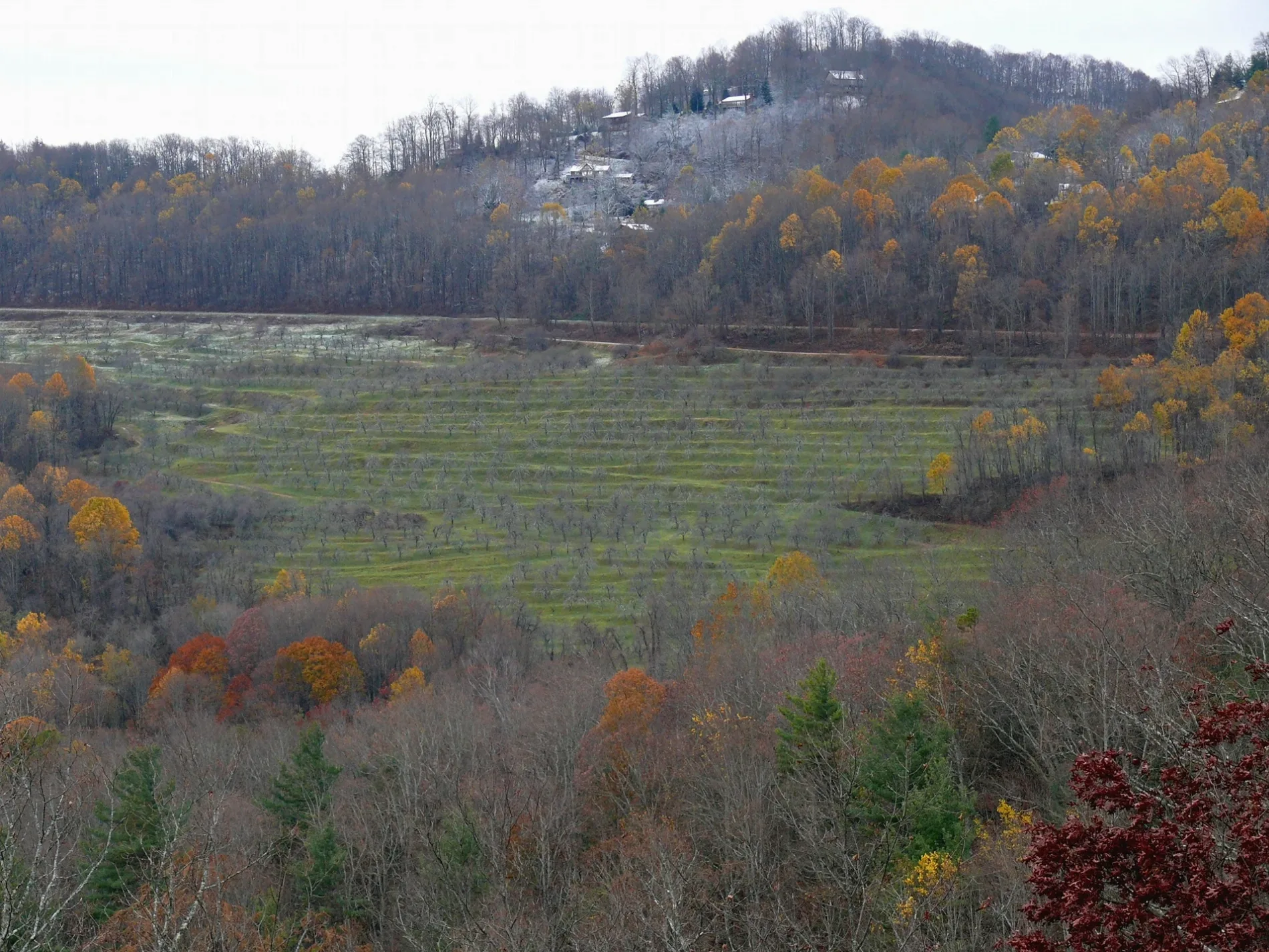
Altapass Highway in Spruce Pine, NC 28777 (McDowell County) is an asphalted local road. It runs in an east-west direction starting from Blue Ridge Parkway and ends at Peppers Creek Road. Altapass Highway also exists in Mitchell County.
- Road Type
- local road
- Speed Limit
- 45 mph
- Route
- east-west
Image
Streets nearby
Orchard RoadThe Apple Core Grill
0.1 mi
Robinson Road0.4 mi
Maple Road0.4 mi
Altapass Church of God Road0.5 mi
Holman Hill Road0.5 mi
Blue Ridge ParkwayNorth Cove Valley Overlook, North Toe River Valley (MP 318.4), View Mount Mitchell Overlook (MP 349.9), Laurel Knob Overlook (MP 349.2), Bear Den Overlook (MP 323.0), Heffner Gap Overlook (MP 325.9), Table Rock Overlook (MP 329.8), The Loops Overlook
0.5 mi
Brown RoadAltapass
0.6 mi
Peppers Creek RoadPepper Creek Church
0.7 mi
Apple Lane0.9 mi
Altapass HighwayAltapass Church of God, Hare Trigger Gunsmithing, Parkway Fire & Rescue
1.0 mi
Continental Divide Road1.0 mi
Jacksontown RoadThe Barn Store & More
1.0 mi
Garland Road1.0 mi
Barney McKinney Road1.2 mi
Rose Creek TrailOvermountain Victory National Historic Trail
1.2 mi
Hefner Road1.2 mi
Sweet Tea Drive1.3 mi
Branch Road1.3 mi
Davenport Road1.3 mi
Old Hall Store Road1.4 mi
Wallace Avenue1.4 mi
Springtime Drive1.4 mi
Allen Lane1.4 mi
Muscadine Drive1.4 mi
Halltown Road1.4 mi
Teller Trail1.4 mi
Cook Lane1.5 mi
State Road 12911.5 mi
Di-Carve Road1.5 mi
Arnolds Knob1.5 mi
Henredon Road1.6 mi
Carpenter Road1.6 mi
Wipprecht Drive1.7 mi
George McKinney Circle1.7 mi
Vance Farm Road1.7 mi
Ettas Lane1.7 mi
Jolt Wagon Trail1.8 mi
Eastridge Drive1.9 mi
Cemeteries nearby
McKinney Cemetery0.2 mi
Biddix Cemetery0.9 mi
Davenport Cemetery1.6 mi
Farm stores nearby
The Orchard at Altapass0.9 mi
Railways nearby
Blue Ridge Subdivision0.4 mi
Rivers nearby
North Toe River1.7 mi
Streams nearby
Little Rose Creek0.3 mi
Smith Branch1.1 mi
Cathis Creek1.5 mi
Roses Creek1.8 mi
Reddick Branch1.9 mi
Pepper Creek2.1 mi
 Public transit map McDowell County Legend
| Railway | |
| Bus | |
| Streetcar |
 Bicycle map McDowell County Legend
| Bike path | |
| Bike lane on roadway | |
| Cycling allowed on bus lane | |
| Bicycle street | |
| Open to cyclists | |
| Open to cyclists, good path | |
| Cycling prohibited | |
| Cobblestone |
| Long-distance bike route | (depending on scale) | |
| Long-distance bike route |
 Pedestrian map McDowell County Legend
| Path |
| Long-distance hiking trail | (depending on scale) | |
| Long-distance hiking trail | ||
| Pedestrians prohibited |