
Blands' Knob in Mitchell County, North Carolina
Blands' Knob in Mitchell County is a residential street.
- Road Type
- residential street
Image
Streets nearby
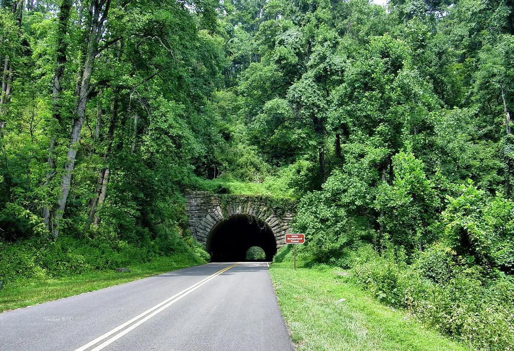
Little Switzerland Tunnel0.1 mi
Blands Knob0.2 mi
Debose Road0.2 mi
High Ridge RoadLittle Switzerland Trading Company, Spruced Boutique
0.3 mi
Dobb Brown Lane0.3 mi
Grassy Creek Falls Road0.4 mi
Simmons Ridge Road0.5 mi
Possum Trot Road0.5 mi
Chestnut Grove Church Road0.5 mi
Red Fox Lane0.5 mi
Valley Farm RoadSwitzerland Cafe and General Store
0.5 mi
Laurel Lane0.5 mi
Fox Run Road0.5 mi
Orchard Lane0.6 mi
Lynn Gap Road0.6 mi
Velvis Hollifield Road0.7 mi
Ginseng Drive0.7 mi
Glory Trail0.7 mi
Leatherwood Lane0.8 mi
Grassy Mountain Road0.8 mi
Old Chestnut Grove Church Road0.8 mi
Wrenlock Drive0.8 mi
Doctor Howell Road0.9 mi
Dover Lane1.0 mi
Bearwallow RoadLittle Switzerland Books & Beans
1.0 mi
Burnett Cemetery Road1.1 mi
Blue Ridge Parkway1.1 mi
Rich Knob Road1.1 mi
Fred Self Road1.2 mi
Crabtree RoadBlack Mountain Church
1.2 mi
Hollydale Drive1.2 mi
Old Dale Road1.2 mi
Waites Hollifield Road1.3 mi
Turkey Crossing Drive1.3 mi
Osborn Knob Road1.5 mi
Cemeteries nearby
Burnett Cemetery1.1 mi
Dams nearby
Lowery Pond Dam0.6 mi
Hotels nearby
Switzerland Inn0.4 mi
La Petite Chalet0.5 mi
Big Lynn Lodge0.7 mi
Ice cream shops nearby
The Swiss Shoppe0.4 mi
Post offices nearby
Little Switzerland Post Office0.6 mi
Restaurants nearby
Chalet Restaurant0.4 mi
Streams nearby
North Fork Grassy Creek1.0 mi
Buchanan Creek1.1 mi
East Fork Big Crabtree Creek1.2 mi
Three Mile Creek1.2 mi
Sycamore Branch1.3 mi
Bartlett Creek1.5 mi
 Public transit map Mitchell County Legend
 | Railway | |
| Bus | |
| Streetcar |
 Bicycle map Mitchell County Legend
 | Bike path | |
| Bike lane on roadway | |
| Cycling allowed on bus lane | |
| Bicycle street | |
| Open to cyclists | |
| Open to cyclists, good path | |
| Cycling prohibited | |
| Cobblestone |
| Long-distance bike route | (depending on scale) | |
| Long-distance bike route |
 Pedestrian map Mitchell County Legend
 | Path |
| Long-distance hiking trail | (depending on scale) | |
| Long-distance hiking trail | ||
| Pedestrians prohibited |