
Blue Ridge Road in Mitchell County, North Carolina
Blue Ridge Road in Mitchell County is a residential street. It runs in a northeast-southwest direction starting from Alpine Drive. Blue Ridge Road also exists in Catawba County, Wake County, Randolph County, Surry County and Transylvania County.
- Road Type
- residential street
- Route
- northeast-southwest
Image
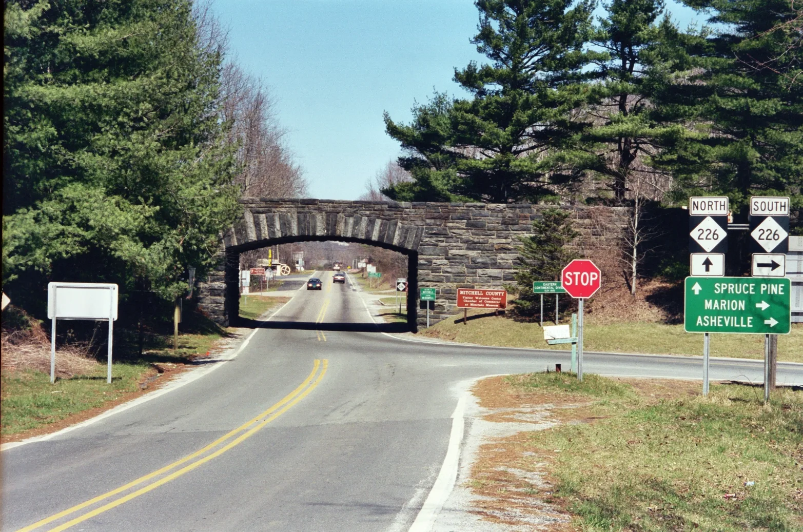
Streets nearby
Alpine Drive0.1 mi
Glockenspiel Way0.2 mi
Stony Crest Drive0.2 mi
Lucerne Strasse Road0.3 mi
Lookout Lane0.3 mi
Lugano Strasse0.3 mi
Hollifield Road0.3 mi
Upper Cercle Des Alpes0.4 mi
Hidden Lane0.4 mi
Lower Circle Des Alpes Road0.4 mi
Orchard TrailOvermountain Victory National Historic Trail
0.4 mi
Bern Via0.4 mi
Four Wheel Drive0.5 mi
Old Dula Road0.5 mi
Wide Drive0.7 mi
Blue Ridge ParkwayNorth Toe River Valley (MP 318.4), View Mount Mitchell Overlook (MP 349.9), Laurel Knob Overlook (MP 349.2), North Cove Valley Overlook, Bear Den Overlook (MP 323.0), Heffner Gap Overlook (MP 325.9), Table Rock Overlook (MP 329.8), The Loops Overlook
0.7 mi
Gillespie Gap TrailOvermountain Victory National Historic Trail
0.8 mi
Leatherwood Lane0.9 mi
Meadow View RoadBlue Ridge Soap Shed
0.9 mi
Mary Ann Lane0.9 mi
Dula Road0.9 mi
Ginseng Drive1.0 mi
Lynn Gap Road1.0 mi
Ponderosa Drive1.0 mi
Old NC Highway 2261.1 mi
Chelsea Lane1.1 mi
Windy Hill Drive1.2 mi
Samuel Quinn Trail1.2 mi
Tom Bell Road1.2 mi
Fox Den Lane1.3 mi
Looking Glass Drive1.4 mi
Triple J Park1.4 mi
Antique stores nearby
Early's Country Store0.5 mi
Buildings nearby
McGee Brothers Machine & Welding Co1.3 mi
Dams nearby
Lowery Pond Dam1.0 mi
Fast food restaurants nearby
Burger King1.2 mi
Florists nearby
Becky's Flowers & Gifts0.6 mi
Hotels nearby
Skyline Village Inn0.3 mi
Big Lynn Lodge1.0 mi
Jewelry stores nearby
Nature's Wonders0.4 mi
Rio Doce Gem Mine0.7 mi
Marketplaces nearby
Parkway Flea & Farmers Market0.5 mi
Museums nearby
Museum of North Carolina Minerals0.3 mi
Restaurants nearby
Puerto Nuevo Mexican & Seafood Restaurant1.3 mi
Streams nearby
Cox Creek0.7 mi
Mace Branch0.9 mi
Reddick Branch1.1 mi
East Fork Grassy Creek1.2 mi
Rag Creek1.3 mi
 Public transit map Mitchell County Legend
| Railway | |
| Bus | |
| Streetcar |
 Bicycle map Mitchell County Legend
| Bike path | |
| Bike lane on roadway | |
| Cycling allowed on bus lane | |
| Bicycle street | |
| Open to cyclists | |
| Open to cyclists, good path | |
| Cycling prohibited | |
| Cobblestone |
| Long-distance bike route | (depending on scale) | |
| Long-distance bike route |
 Pedestrian map Mitchell County Legend
| Path |
| Long-distance hiking trail | (depending on scale) | |
| Long-distance hiking trail | ||
| Pedestrians prohibited |