
Penland School Road in Bakersville, NC 28705
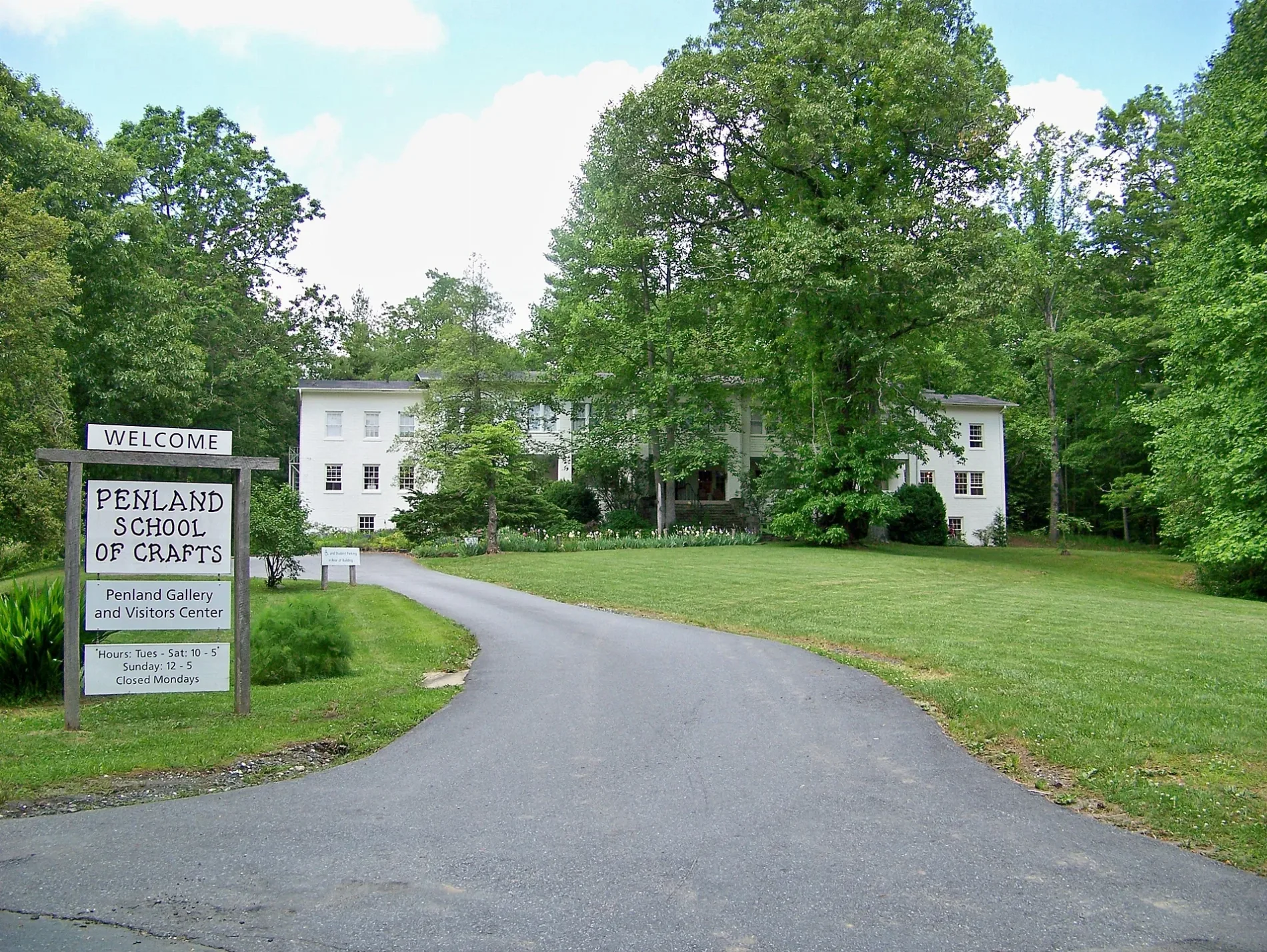
Penland School Road in Bakersville, NC 28705 (Mitchell County) is a local road (also known as State Road 1164). It runs in a north-south direction starting from Conley Ridge Road and crosses Beacon Church Road, Copley Place, Cnly Rdg Road and Lucy Morgan Lane and ends at Penland Road. Penland School Road is also known as State Road 1164. Nearby you can find 2 schools and a cafe.
- Alternate Name
- State Road 1164
- Road Type
- local road
- Route
- north-south
Image
Streets nearby
Copley Place550 ft
Road to Heavens Above0.1 mi
Ebner Lane0.2 mi
Barely RoadPenland Supply Store
0.2 mi
Beacon Church Road0.2 mi
Hardly A Road0.3 mi
Cnly Rdg Road0.3 mi
Leah Drive0.4 mi
Stewart Road0.5 mi
Penland RoadPenland, Car Wash
0.5 mi
Summer Downs0.6 mi
Lucy Morgan Lane0.6 mi
Breezeway Drive0.7 mi
Conley Ridge Road0.7 mi
Flat Rock Circle0.7 mi
Sparks Road0.8 mi
Robinhood Way South0.8 mi
Pitman Road0.9 mi
Clinchfield Drive0.9 mi
Camelot Drive0.9 mi
Baileys Peak Road1.0 mi
River Road1.1 mi
Kates Lane1.2 mi
Land for SALE1.2 mi
Jarrett Drive1.3 mi
Bear Creek Road1.3 mi
Grace Ridge Road1.3 mi
Jarrett Road1.3 mi
Ashland Mountain Road1.3 mi
Snow Creek RoadWing, Lily Branch Church, Courtney Martin Pottery, Snow Creek Pottery
1.3 mi
Greenberry RoadNormanville
1.4 mi
Turbyfill Road1.4 mi
Wing RoadLedger
1.5 mi
Ledger Drive1.5 mi
Maple Leaf Lane1.5 mi
Cabin in the Laurel Road1.5 mi
Duncan Loop1.5 mi
Buildings nearby
Mitchell County Schools1.5 mi
Cemeteries nearby
Conley Cemetery0.3 mi
Convenience stores nearby
P & R Grocery1.5 mi
Fire stations nearby
Ledger Volunteer Fire Department1.5 mi
Places of worship nearby
Ledger Baptist Church1.5 mi
Bear Creek Baptist Church1.5 mi
Railways nearby
Blue Ridge Subdivision1.0 mi
Rivers nearby
North Toe River1.1 mi
Streams nearby
Stewart Branch0.5 mi
Bear Creek0.8 mi
Little Bear Creek1.2 mi
Cranberry Branch1.3 mi
 Public transit map Mitchell County Legend
| Railway | |
| Bus | |
| Streetcar |
 Bicycle map Mitchell County Legend
| Bike path | |
| Bike lane on roadway | |
| Cycling allowed on bus lane | |
| Bicycle street | |
| Open to cyclists | |
| Open to cyclists, good path | |
| Cycling prohibited | |
| Cobblestone |
| Long-distance bike route | (depending on scale) | |
| Long-distance bike route |
 Pedestrian map Mitchell County Legend
| Path |
| Long-distance hiking trail | (depending on scale) | |
| Long-distance hiking trail | ||
| Pedestrians prohibited |