
East Peterson Street in Spruce Pine, North Carolina
East Peterson Street in Spruce Pine is a residential street and it runs in a southeast-northwest direction starting from Summit Avenue and ends in a cul-de-sac.
- Road Type
- residential street
- Route
- southeast-northwest
Image
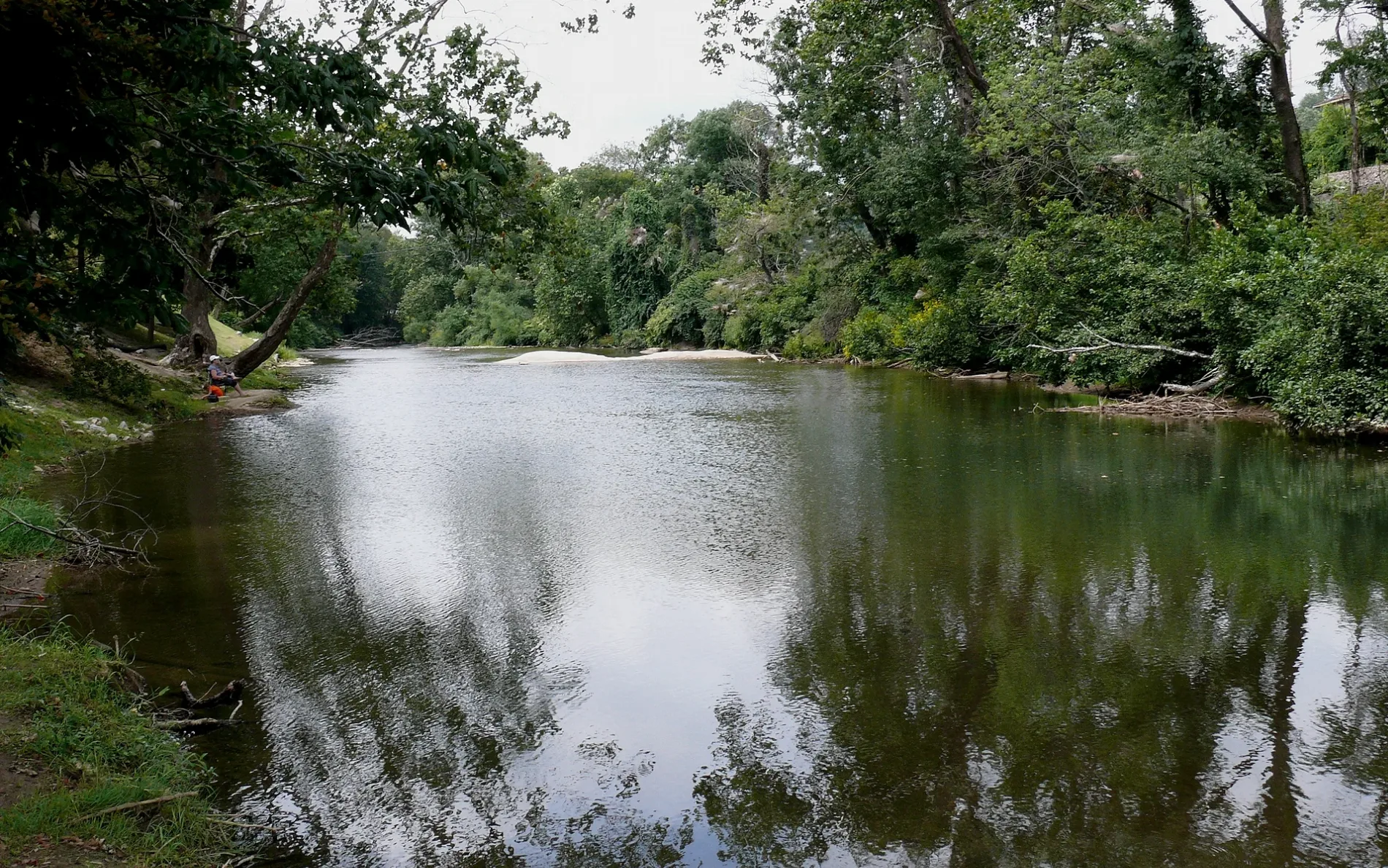
Furniture stores
Massage therapy clinics
Cafes
Outdoor stores
Bars
Artworks
Places of worship
Galleries
- Toe River Arts (Web) at Oak Avenue 269 (28777) – approx. 0.2 mi.
Tourist information centers
Hair salons
Restaurants
Antique stores
Craft stores
Music stores
Florists
Pubs
Streets nearby
Summit AvenueOhana Massage Mind, Spirit, & Bodywork, United Community Bank
250 ft
Peach Street300 ft
Pinebridge Avenue0.1 mi
Cross Street0.1 mi
Peterson Street0.1 mi
Fairy Avenue0.1 mi
West Tappan Street0.1 mi
English Street0.1 mi
Hilltop Lane0.1 mi
East Tappan StreetFirst Baptist Church
0.1 mi
Spring Street0.2 mi
Topaz StreetArt & Frame Store
0.2 mi
Crystal StreetMajestic Music, The Market on Oak
0.2 mi
Locust StreetSpruce Pine, Bueno Blend, Mosaic Mural, Live Oak Gastropub, Hef's Restaurant, Treasure in the Pines, Spruce Pine Main Street Visitor Center, DT's Blue Ridge Java, El Ranchero Restaurant, Bangkok Station, Avril's Creative Craft, The Ark, Herman's Antique
0.2 mi
Link StreetHair Craft, Gustoso Ristorante, Bierdock Brewery, Spruce Pine Florist
0.2 mi
Riverside Drive0.2 mi
Oak AvenueThe Tropical Grill, Wells Fargo, Central Baptist Church, The Cat's Meow, L&L Furniture, Southwest Trading Store, Toe River Arts, The Dispensary, Blue Mountain Retail, Keen Outdoors, No Regerts, Greg's Cards, Shear Attraction, Spruce Pine Motel, Rocks and Things, Moondust Lounge, Treats Studio, SPMS Billboard, Fox and the Fig, 670 Oak, French Broad Vintage, Lakeview Mercantile and Gardens, City Drive-In, Summit Repair Shop, Jonathan's Used Appliances, Blue Ridge Paint & Body Shop Inc., Alpine Motors, Spruce Pine Tire Services, Uplifting Deals, United States Postal Service, 50's Classic Diner, Habitat for Humanity, Blalock Cemetery
0.2 mi
Highland Avenue0.2 mi
Hazel Avenue0.3 mi
Diamond Avenue0.3 mi
North Dale Street0.3 mi
Balsam Avenue0.3 mi
Pine Avenue0.3 mi
Valley Road0.3 mi
East Valley RoadSpruce Pine Police Department, Spruce Pine Fire Department
0.3 mi
Willis Street0.3 mi
Sunrise Street0.3 mi
English Road0.3 mi
Opal Street0.3 mi
Greenwood RoadLemon Tree Inn, Highway Patrol
0.4 mi
Spruce Avenue0.4 mi
Fortner DriveLamar's Auto Services
0.4 mi
Dogwood Lane0.4 mi
Hillcrest Circle0.4 mi
Boone Street0.5 mi
Phillips Lane0.5 mi
Stroup Road0.5 mi
Lynn Street0.5 mi
Sunnybrook Drive0.5 mi
Hostels nearby
Richmond Inn Bed & Breakfast0.3 mi
Libraries nearby
Spruce Pine Public Library0.3 mi
Parks nearby
Central (Pocket) Park0.2 mi
Riverside Park0.2 mi
Clock Park0.3 mi
Schools nearby
Mayland Community College Cosmetic Arts Center0.2 mi
Streams nearby
Beaver Creek0.2 mi
English Creek0.3 mi
Supermarkets nearby
Ingles0.3 mi
Train stations nearby
CSX Working Depot0.2 mi
Public transit map Spruce Pine Legend
| Railway | |
| Bus | |
| Streetcar |
Bicycle map Spruce Pine Legend
| Bike path | |
| Bike lane on roadway | |
| Cycling allowed on bus lane | |
| Bicycle street | |
| Open to cyclists | |
| Open to cyclists, good path | |
| Cycling prohibited | |
| Cobblestone |
| Long-distance bike route | (depending on scale) | |
| Long-distance bike route |
Pedestrian map Spruce Pine Legend
| Path |
| Long-distance hiking trail | (depending on scale) | |
| Long-distance hiking trail | ||
| Pedestrians prohibited |