
Rollings Acres in Semora, NC 27343
Rollings Acres in Semora, NC 27343 (Person County) is a residential street. It runs in a north-south direction starting from Foxlair Trail.
- Road Type
- residential street
- Route
- north-south
Image
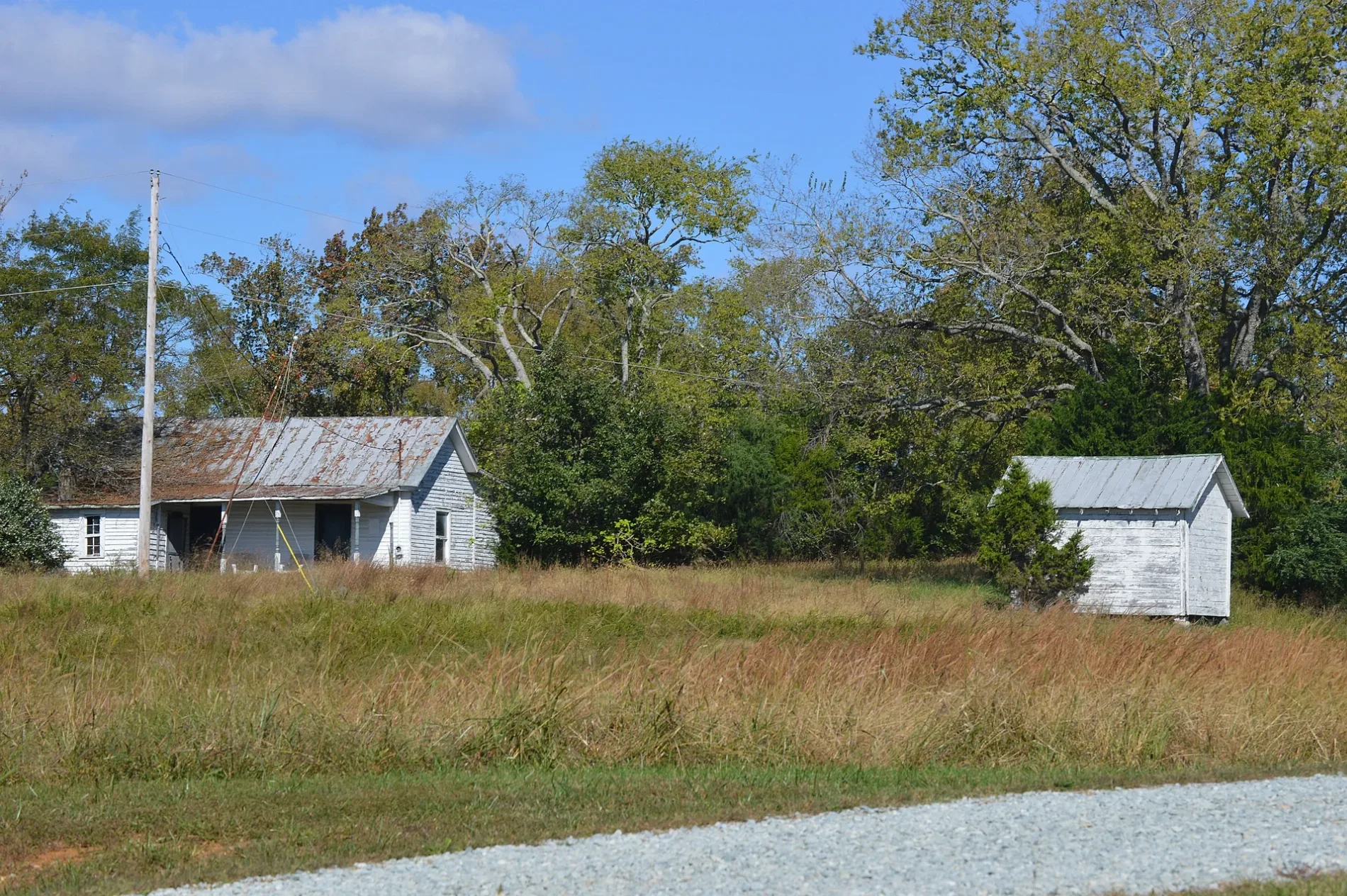
Streets nearby
Foxlair Trail250 ft
Deer Run Trail0.3 mi
Wild Turkey Drive0.3 mi
Phifer Lane0.4 mi
Quail Roost0.5 mi
Hobart Drive0.5 mi
Rabbit Path Lane0.5 mi
Zion Level Church RoadZion Level Baptist Church
0.6 mi
Saint George Lane0.6 mi
Rainey Ridge Road0.6 mi
Jaybird Lane0.7 mi
Whipporwill Lane0.7 mi
Lawrence Barker Road0.7 mi
Possum Trot0.7 mi
Coon Ridge Trail0.8 mi
Semora RoadConcord Grill, Concord
0.8 mi
Kelly Brewer RoadOlive Grove Church
0.8 mi
Audobon Drive0.8 mi
Barefoot Landing0.8 mi
State Road 13130.8 mi
Talley Pointe Drive0.9 mi
Cedar Crest0.9 mi
Summerlyn Place0.9 mi
Stillwood Lane0.9 mi
Beaver Dam Road1.0 mi
Pointer Road1.0 mi
Forest Shore Drive1.1 mi
Cottage Lane1.1 mi
Pointer Drive1.1 mi
State Road 13921.2 mi
South Pointe Trail1.2 mi
Erroll Court1.2 mi
Swink Lane1.2 mi
Piney Lane1.3 mi
Eugene Court1.3 mi
Pecan Trail1.3 mi
Oakley Ridge Road1.3 mi
Joe Baldwin Road1.3 mi
Baldwin-Bradsher Road1.3 mi
Scott Road1.4 mi
Warren Lane1.4 mi
State Road 13111.4 mi
Cottonwood Trail1.4 mi
Cemeteries nearby
Zion Level Baptist Church Cemetery0.8 mi
Commercial buildings nearby
Remax Premiere Realty0.5 mi
Parks nearby
Hyco Lake0.9 mi
Rivers nearby
Hyco River1.2 mi
Streams nearby
Cobbs Creek1.0 mi
Cane Creek1.0 mi
 Public transit map Person County Legend
| Railway | |
| Bus | |
| Streetcar |
 Bicycle map Person County Legend
| Bike path | |
| Bike lane on roadway | |
| Cycling allowed on bus lane | |
| Bicycle street | |
| Open to cyclists | |
| Open to cyclists, good path | |
| Cycling prohibited | |
| Cobblestone |
| Long-distance bike route | (depending on scale) | |
| Long-distance bike route |
 Pedestrian map Person County Legend
| Path |
| Long-distance hiking trail | (depending on scale) | |
| Long-distance hiking trail | ||
| Pedestrians prohibited |