
Jefferson Street in Bethel, North Carolina
Jefferson Street in Bethel is a residential street. It runs in an east-west direction starting from Smith Street and crosses Chatham Circle, Woolard Street, Pitt Street, South James Street and South Main Street and ends at East Jefferson Street. Jefferson Street also exists in Pasquotank County, Burke County, Cleveland County, Columbus County and Cumberland County.
- Road Type
- residential street
- Route
- east-west
Image
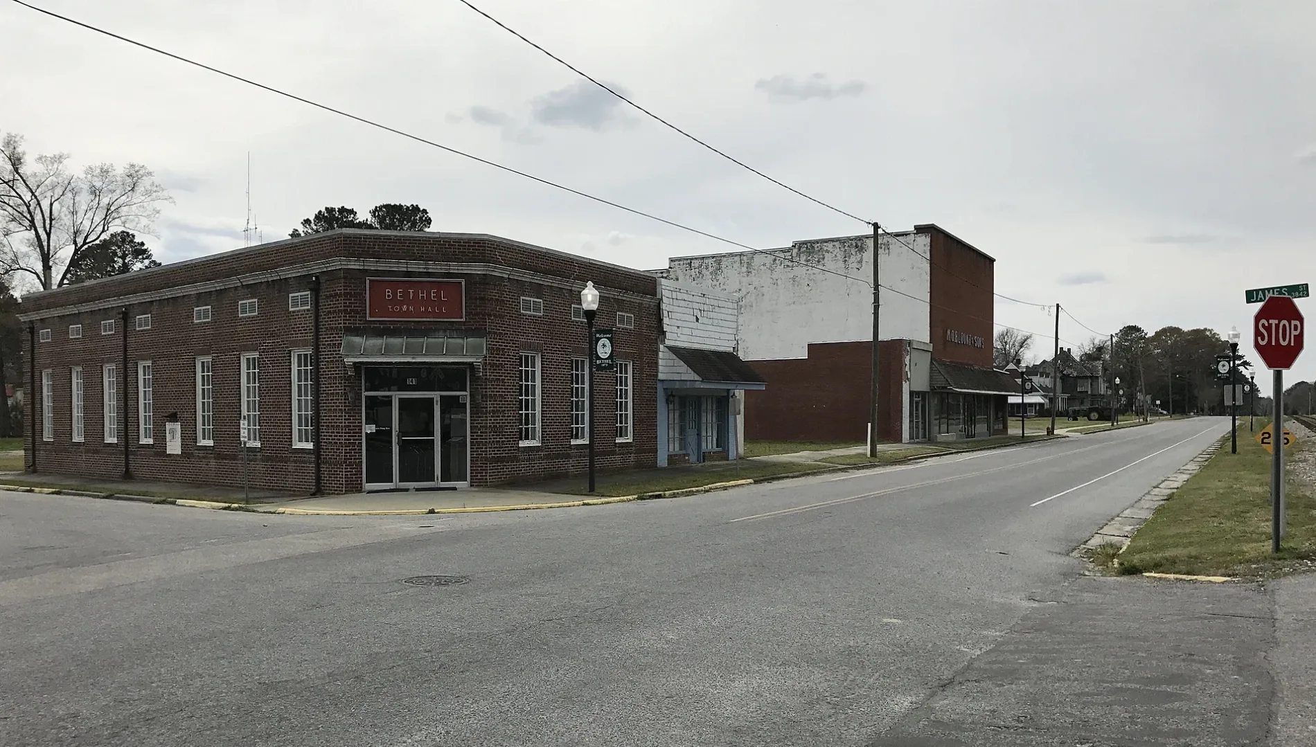
Town halls
Police stations
Variety stores
Restaurants
Pharmacies
ATMs
Convenience stores
Schools
Hardware stores
Post offices
Auto parts stores
Streets nearby
South James Street50 ft
Chatham Circle0.1 mi
Pitt Street0.1 mi
West Church Street0.2 mi
East Jefferson Street0.2 mi
East Washington StreetThrifty Mart Inc
0.2 mi
Woolard Street0.2 mi
Church Alley0.2 mi
East Street0.2 mi
West Railroad StreetBethel, Town Hall
0.2 mi
West Andrews StreetBethel Pharmacy Inc
0.2 mi
North James StreetBethel Elementary School, Bethel Police Department
0.2 mi
Crawford Street0.2 mi
Smith Street0.2 mi
North Main StreetCash Points
0.2 mi
East Andrews StreetLa Casetta Italian Restaurant
0.2 mi
Ives Street0.2 mi
East Church StreetMB Grill
0.3 mi
Church Street0.3 mi
Edward Earl Dennis Street0.3 mi
Parker Court0.3 mi
Collie Lane0.3 mi
2nd Street0.3 mi
Short Street0.3 mi
Barnhill Street0.3 mi
Market StreetUnited States Postal Service
0.3 mi
Dante Lane0.3 mi
Jenkins Street0.3 mi
South Main StreetDa-Nite Lunch, GBodyLED, Crawfords Hardware
0.3 mi
Smith Speir LaneDollar General
0.3 mi
Southeast Railroad Street0.4 mi
Lindberg Lane0.4 mi
Lincoln Street0.4 mi
Pippen Lane0.4 mi
New Street0.4 mi
Moore Drive0.4 mi
Nelson Street0.4 mi
West Moore Drive0.4 mi
Norfolk Street0.4 mi
Cecil Street0.5 mi
Cherry Street0.5 mi
McWhorter Street0.5 mi
Carson Avenue0.6 mi
Cullifer Street0.6 mi
West Washington Street0.6 mi
Whitehurst Street0.6 mi
Robinson Street0.6 mi
Rives Street0.7 mi
Libraries nearby
Blount Library0.2 mi
Public transit map Bethel Legend
| Railway | |
| Bus | |
| Streetcar |
Bicycle map Bethel Legend
| Bike path | |
| Bike lane on roadway | |
| Cycling allowed on bus lane | |
| Bicycle street | |
| Open to cyclists | |
| Open to cyclists, good path | |
| Cycling prohibited | |
| Cobblestone |
| Long-distance bike route | (depending on scale) | |
| Long-distance bike route |
Pedestrian map Bethel Legend
| Path |
| Long-distance hiking trail | (depending on scale) | |
| Long-distance hiking trail | ||
| Pedestrians prohibited |