
West 27th Street in Lumberton, North Carolina
West 27th Street in Lumberton is a residential street. It runs in an east-west direction starting from Riverwood Avenue and crosses North Kenan Avenue, North Shaw Avenue, North Rowland Avenue, North McMillan Avenue and Barker Street and ends at North Elm Street. West 27th Street also exists in Catawba County and Forsyth County.
- Road Type
- residential street
- Route
- east-west
Image
Motels
Pharmacies
Drugstores
Places of worship
Fast food restaurants
Schools
Restaurants
Gift shops
Gas stations
Streets nearby
West 26th Street300 ft
Barker Street0.1 mi
West 29th Street0.1 mi
West 25th Street0.2 mi
West 31st Street0.2 mi
West 23rd Street0.3 mi
West 22nd Street0.3 mi
West 32nd Street0.3 mi
North Shaw Avenue0.3 mi
West 30th Street0.3 mi
West 28th Street0.3 mi
North Kenan Avenue0.3 mi
West 21st Street0.3 mi
North McMillan Avenue0.3 mi
West 33rd Street0.3 mi
North Floyd Avenue0.4 mi
West 34th Street0.4 mi
North Rowland Avenue0.4 mi
West 20th Street0.4 mi
West 35th Street0.4 mi
West 24th Street0.4 mi
Riverwood Avenue0.4 mi
West 19th Street0.4 mi
Capuano Street0.4 mi
West 36th Street0.4 mi
West 18th Street0.5 mi
Kenan Avenue0.5 mi
Fuller Avenue0.5 mi
Lackey StreetRoyal Inn, Motel 6, Cracker Barell, Cracker Barrel
0.5 mi
Carthage RoadBP
0.5 mi
Shaw Avenue0.5 mi
Banks nearby
Wells Fargo0.2 mi
First Bank0.2 mi
BB&T0.2 mi
Department stores nearby
Roses0.3 mi
Doctor's offices nearby
Calvary Internal Medicine0.2 mi
Fast food restaurants nearby
Hardee's0.4 mi
McDonald's0.5 mi
Subway0.5 mi
Burger King0.5 mi
Cook Out0.6 mi
Gas stations nearby
Shell0.5 mi
BP0.6 mi
Hotels nearby
Fairfield Inn & Suites Lumberton0.5 mi
Howard Johnson0.5 mi
Pharmacies nearby
Sam's Drug Store0.1 mi
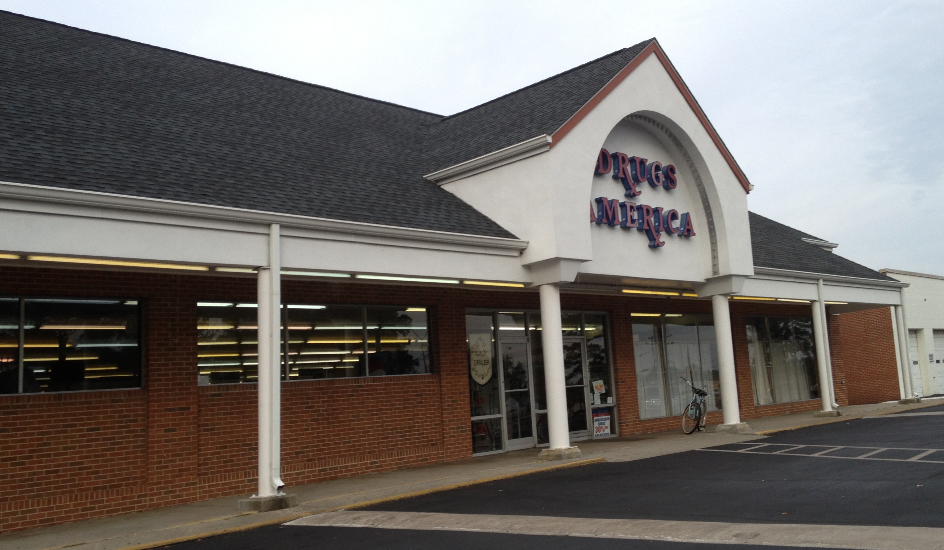
Drugs America0.2 mi
Restaurants nearby
Waffle House0.5 mi
Two Guys Grill0.5 mi
Public transit map Lumberton Legend
| Railway | |
| Bus | |
| Streetcar |
Bicycle map Lumberton Legend
| Bike path | |
| Bike lane on roadway | |
| Cycling allowed on bus lane | |
| Bicycle street | |
| Open to cyclists | |
| Open to cyclists, good path | |
| Cycling prohibited | |
| Cobblestone |
| Long-distance bike route | (depending on scale) | |
| Long-distance bike route |
Pedestrian map Lumberton Legend
| Path |
| Long-distance hiking trail | (depending on scale) | |
| Long-distance hiking trail | ||
| Pedestrians prohibited |