
Campground Road in Danbury, NC 27016
Campground Road in Danbury, NC 27016 (Stokes County) is a two-lane, asphalted service road. The street has partly no sidewalks. It runs in a northeast-southwest direction and crosses Cabin Road, Lower Loop and State Park Road and ends at Visitor Center Drive, while the other end is a cul-de-sac. This street is part of the Hiking trails Moores Wall Loop Trail, Fishing Path and Mountains-to-Sea Trail: Segment 7. Campground Road also exists in Dare County, Pasquotank County, Alleghany County, Beaufort County and Bladen County.
- Road Type
- service road
- Lanes
- 2
- Speed Limit
- 15 mph
- Route
- northeast-southwest
Image
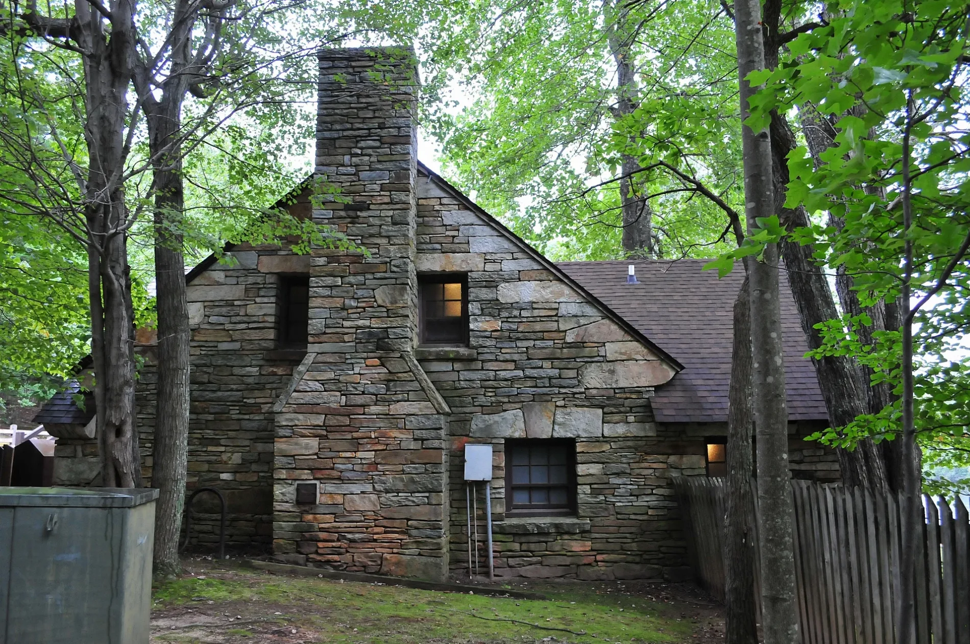
Streets nearby
Lower Loop200 ft
Cabin Road500 ft
Upper Loop0.2 mi
Chestnut Oak Nature Trail0.2 mi
Fishing PathHanging Rock Lake Public Fishing Area
0.3 mi
Mountains-to-Sea Trail0.3 mi
State Park RoadThe Forgotten Lodge
0.3 mi
State Road 20150.3 mi
Rock Garden Trail0.4 mi
Visitor Center Drive0.4 mi
Upper Cascades TrailUpper Casscades
0.4 mi
Hanging Rock Connector Trail0.4 mi
Hanging Rock Trail0.4 mi
Wolf Rock Trail0.7 mi
Magnolia Springs Trail0.7 mi
Balanced RockBalanced Rock
0.8 mi
Indian Creek TrailTrail Information, Hidden Falls, Window Falls
0.8 mi
Seven Springs Road0.8 mi
Maintenance Road0.8 mi
Moores Wall Loop TrailCarving a Legacy from Stone
0.8 mi
Cooks Wall Trail0.9 mi
Tory's Den Road1.1 mi
Rock Climber's Access1.1 mi
Tomahawk Road1.2 mi
Clayton Farm Road1.2 mi
Climbing Access Drive1.2 mi
Hooker Farm Road1.2 mi
Sky View Road1.3 mi
Boathouses nearby
Boathouse0.3 mi
Cabins nearby
Cabin 8450 ft
Cabin 9450 ft
Cabin 7450 ft
Cabin 10500 ft
Cabin 6500 ft
Cabin 50.1 mi
Cabin 40.1 mi
Cabin 30.1 mi
Cabin 20.1 mi
Cabin 10.2 mi
Campgrounds nearby
Hanging Rock State Park Campground0.2 mi
Dams nearby
Hanging Rock Park Lake Dam0.2 mi
Houses nearby
Ranger Residence1.1 mi
Public baths nearby
Historic Bath House0.3 mi
Retail buildings nearby
Hanging Rock State Park Visitors Center0.5 mi
Streams nearby
Indian Creek0.4 mi
Cascade Creek0.5 mi
Theaters nearby
Amphitheater0.2 mi
Viewpoints nearby
Moore's Knob Firetower0.8 mi
Waters nearby
Hanging Rock Park Lake0.3 mi
 Public transit map Stokes County Legend
| Railway | |
| Bus | |
| Streetcar |
 Bicycle map Stokes County Legend
| Bike path | |
| Bike lane on roadway | |
| Cycling allowed on bus lane | |
| Bicycle street | |
| Open to cyclists | |
| Open to cyclists, good path | |
| Cycling prohibited | |
| Cobblestone |
| Long-distance bike route | (depending on scale) | |
| Long-distance bike route |
 Pedestrian map Stokes County Legend
| Path |
| Long-distance hiking trail | (depending on scale) | |
| Long-distance hiking trail | ||
| Pedestrians prohibited |